Home >
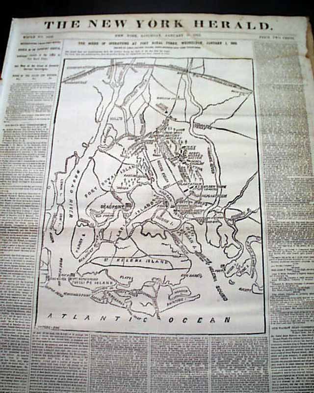
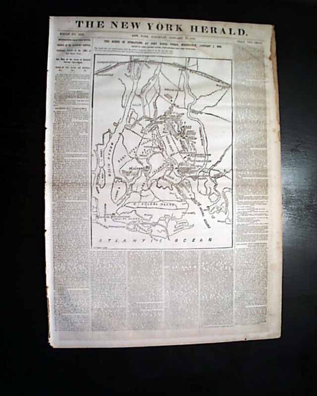
Very large Civil War map show the Beaufort vicinity...
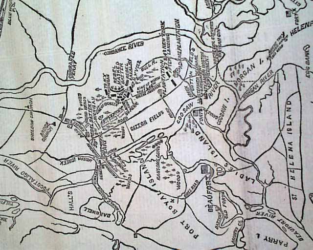
Very large Civil War map show the Beaufort vicinity...
Item # 672809
Currently Unavailable. Contact us if you would like to be placed on a want list or to be notified if a similar item is available.
January 11, 1862
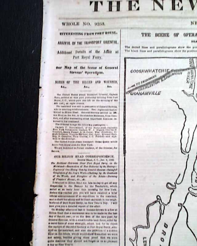
NEW YORK HERALD, Jan. 11, 1862 Most of the front page is taken up with a huge Civil War map headed: "The Scene Of Operations at Port Royal Ferry..." with a subhead. The map shows much detail of the Beaufort vicinity.
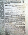
There are also first column heads: "Additional Details of the Affair at Port Royal Ferry" and "Our Map of the Scene of General Stevens' Operations" & others.
Eight pages, stains to a portion of the right margins, generally good condition.
Category: Yankee
No Longer Available