Home >
Nice map of Irish Sea, Ireland, Wales, West England...
Nice map of Irish Sea, Ireland, Wales, West England...
Item # 539797
Currently Unavailable. Contact us if you would like to be placed on a want list or to be notified if a similar item is available.
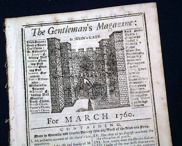
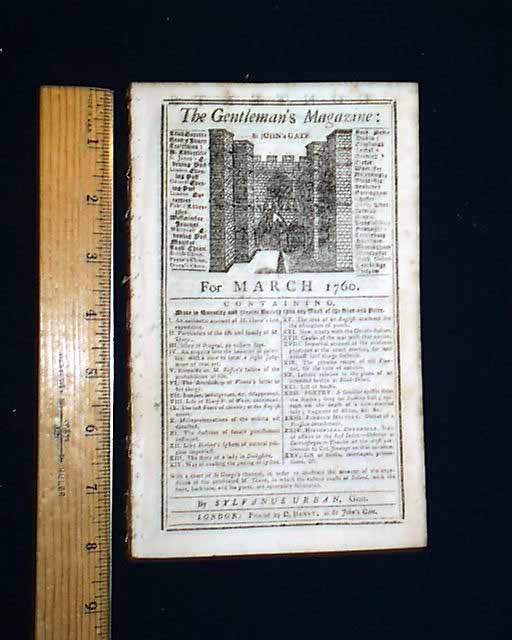
THE GENTLEMAN'S MAGAZINE, London, March, 1760* Expedition against Ireland by Thurot
* Map of Ireland, Scotland, Wales, England
* Treaty with the Cherokee Indians in America
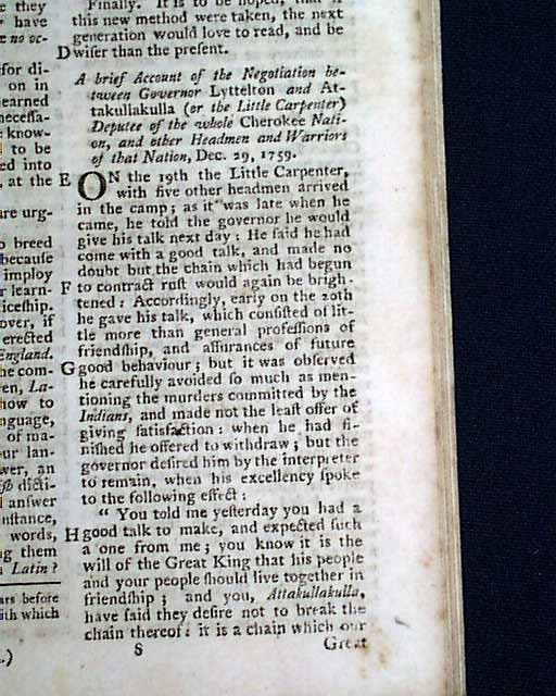
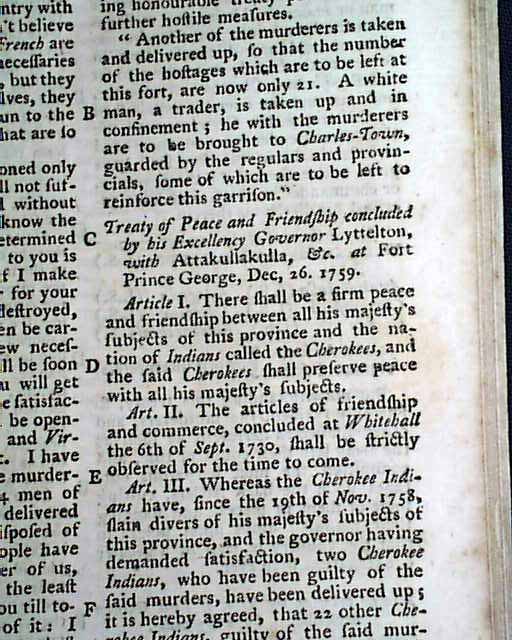
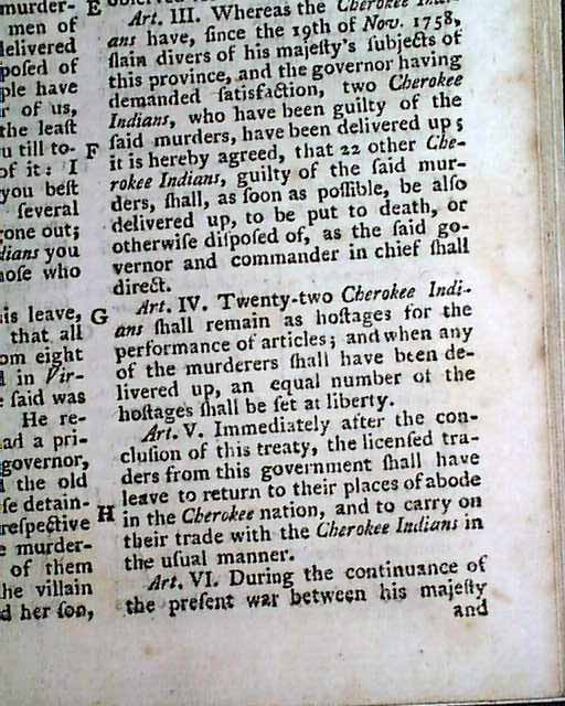
Inside has: "A Brief Account of the Negotiation between Governor Lyttelton and Artakullakulla (or the "Little Carpenter"), Deputee of the Whole Cherokee Nation & other Headmen and Warriors of that Nation".
This text takes close to 3 pages and includes the full printing of the: "Treaty of Peace and Friendship Concluded by his Excellency Governor Lyttelton with Attakullakulla at fort Prince George".
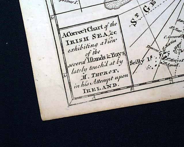
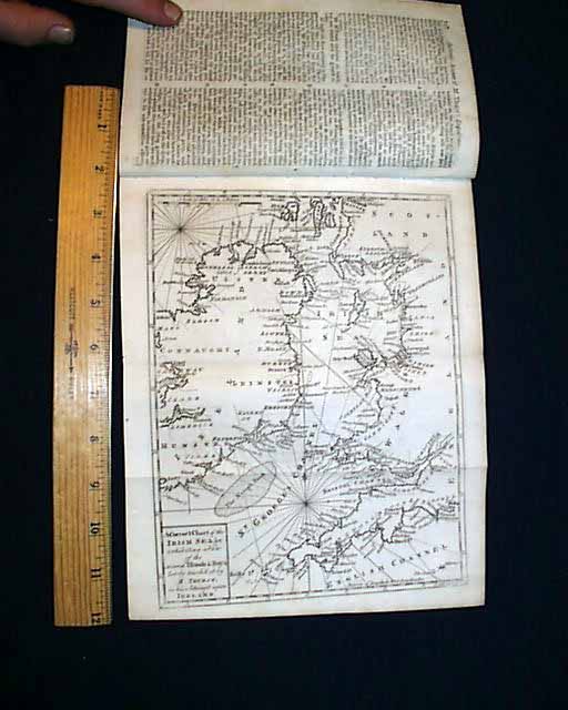
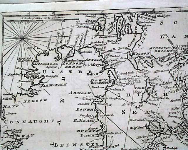
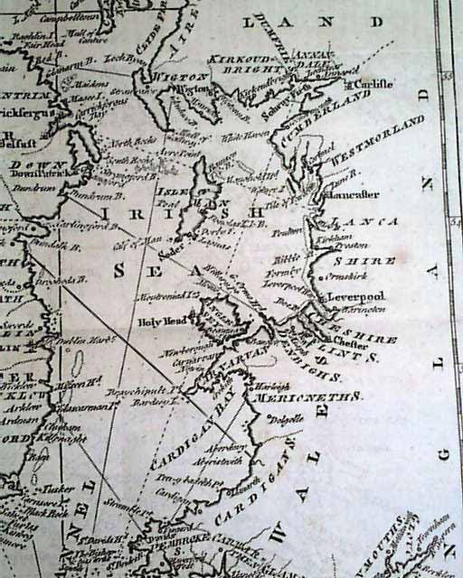
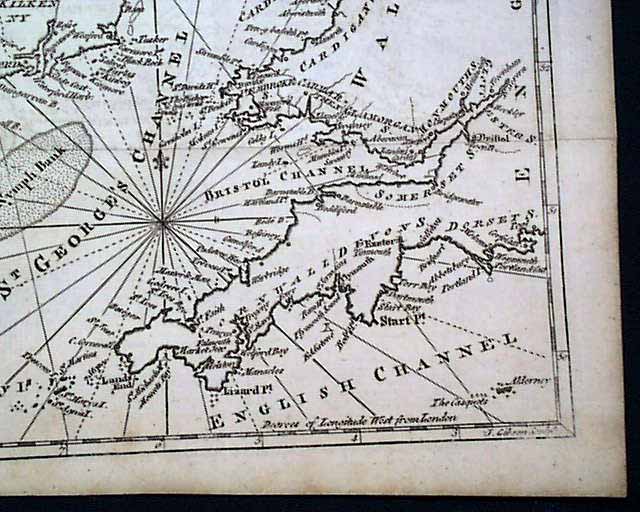
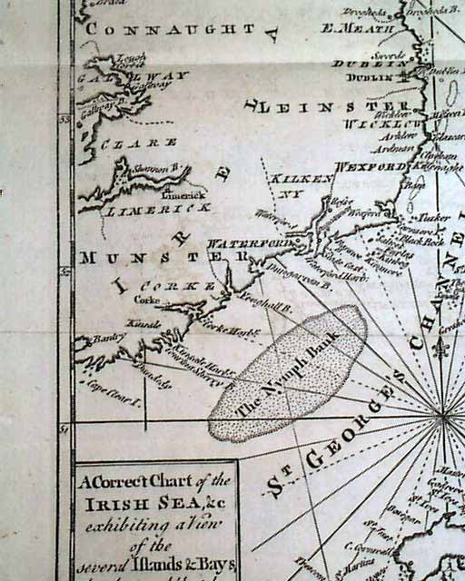
Perhaps the prime feature of this issue is the nice foldout map titled:
"A Correct Chart of the Irish Sea Exhibiting a View of the Several Islands & Bays, lately touch'd at by M. Thurot in his Attempt Upon Ireland".
This map is accompanied by an article titled: "A Succinct Account of M. Thurot's Late Expedition" which takes over 5 pages. The map shows much detail (see photos) including most of present-day Northern Ireland plus the eastern portion of Ireland, including Limerick, Corke, Waterford, Wexford, Dublin, etc. Also shown is the western portion of England, Scotland and Wales, including Land's End and the Scilly Islands (see photos). This map measures about 8 by 10 inches and is in very nice condition.
This map is the only plate called for in this issue.
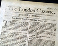
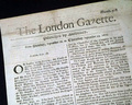
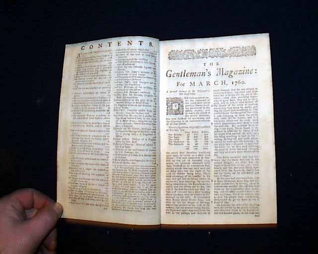
You get the complete 48 page issue, one library stamp in a lower margin of one leaf, measures 5 by 8 inches with full title/index page. Very nice condition with a bit of scattered, light foxing.
Category: The 1600's and 1700's
No Longer Available