Home >
Turkistan map...
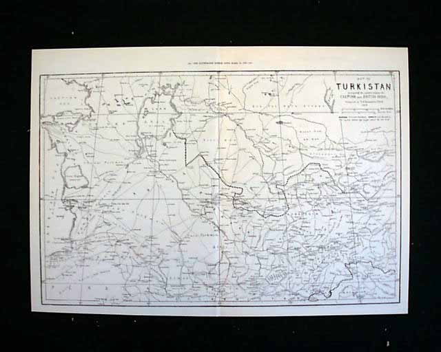

Turkistan map...
Item # 539028
March 15, 1873
The Illustrated London News, London, dated March 15, 1873 (print only)
This is a print only entitled "Map of Turkistan comprising the countries between the Caspian and British India, compiled by E.G. Ravenstein, F.R.G.S."
The map size is approximately 22 x 15.5 inches.
Category: Displayable Issues
Available Now
$18.00