
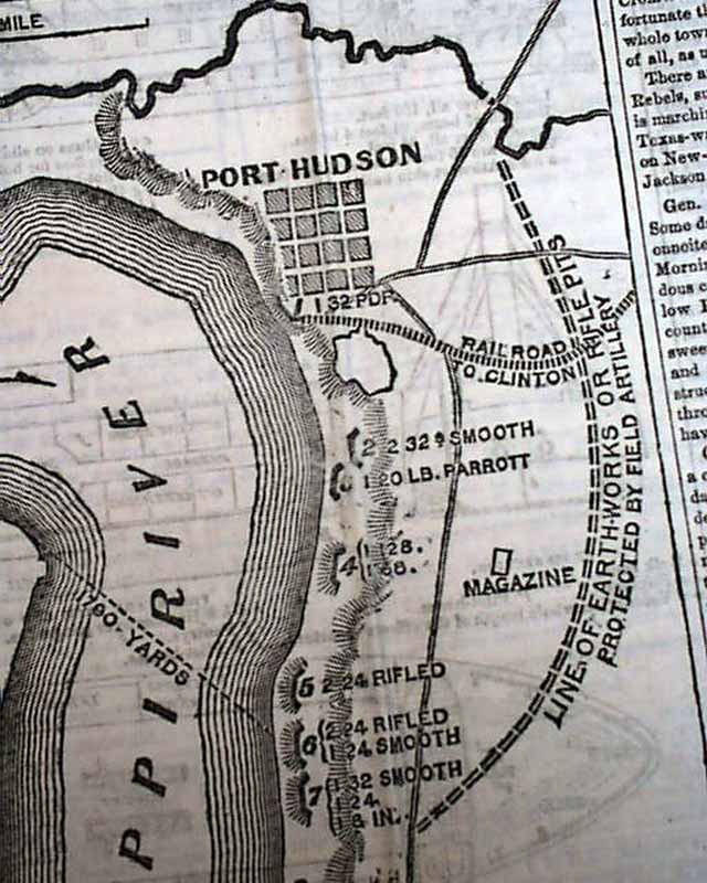
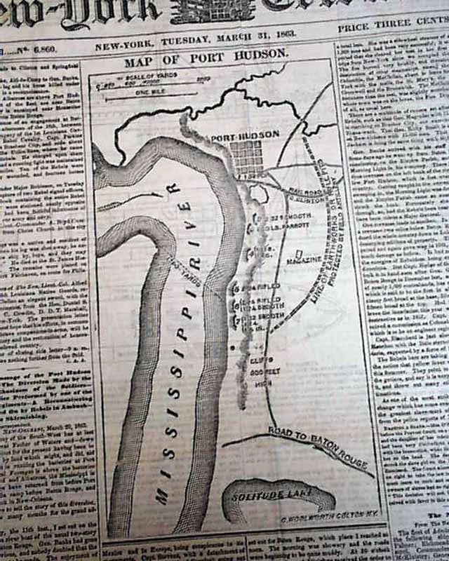
Map of Port Hudson, and military illustrations inside...
Item # 621022
March 31, 1863
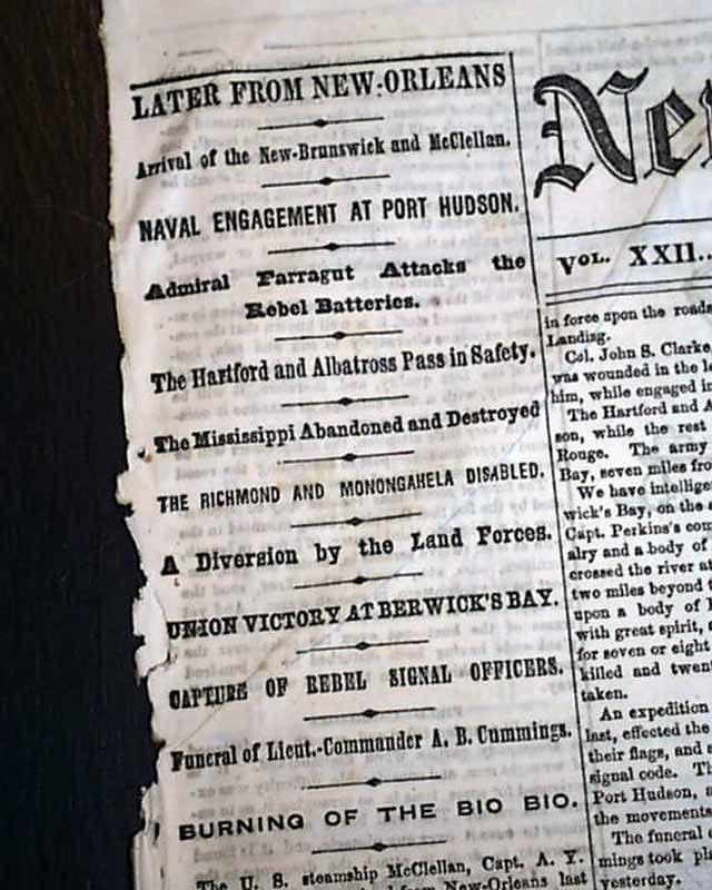
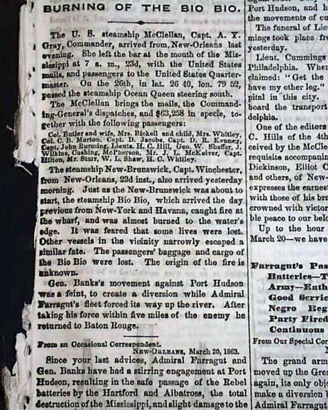
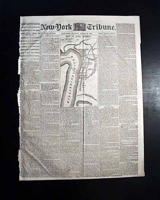
NEW YORK TRIBUNE, March 31, 1863 The front page features a nice & detailed map headed: "Map Of Port Hudson" along the Mississippi. Also front page column heads: "Naval Engagement at Port Hudson" "The Mississippi Abandoned & Destroyed" "Union Victory at Berwick's Bay" and more.
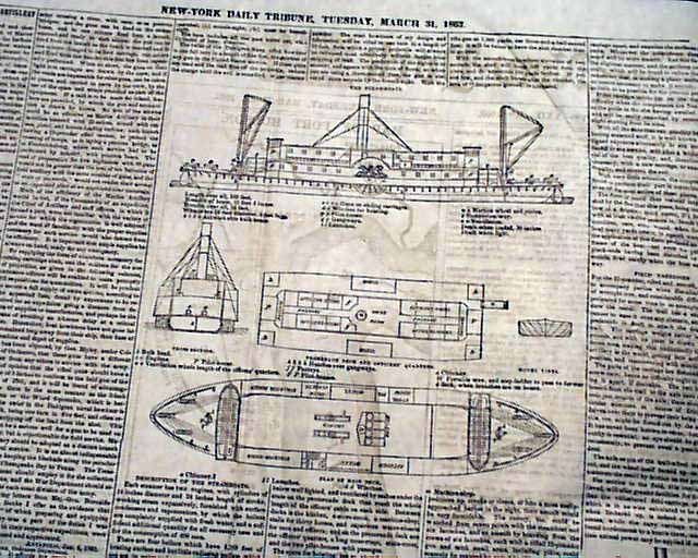
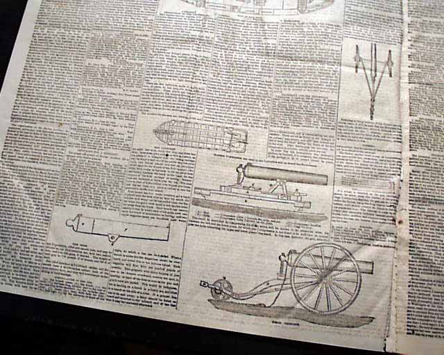
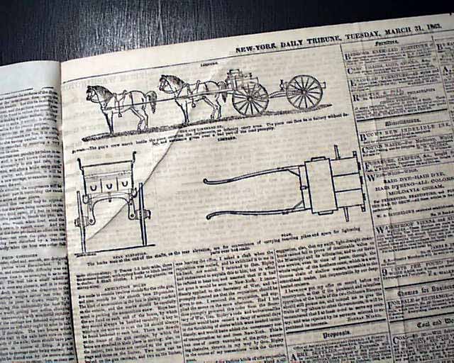
See the photos for the various page 2 & 3 illustrations of: "Wiard's System of Marine Artillery".
Eight pages, irregular at the spine with some margin loss, good condition.
See the photos for the various page 2 & 3 illustrations of: "Wiard's System of Marine Artillery".
Eight pages, irregular at the spine with some margin loss, good condition.
Category: Yankee
