


Map of the Savannah vicinity...
Item # 577806
November 29, 1861
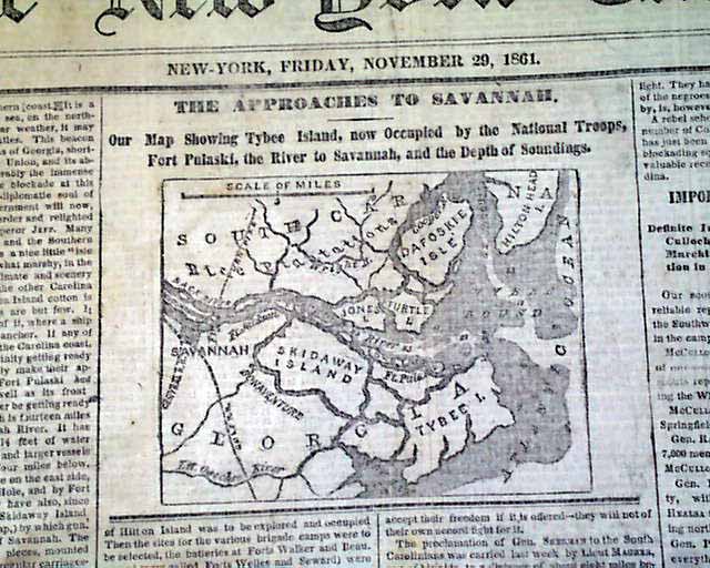
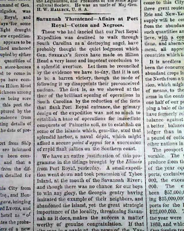
THE NEW YORK TIMES, November 29, 1861 The top of the front page has a small yet very detailed map headed: "The Approaches To Savannah." with a sub heading: "Our Map Showing Tybee Island, now Occupied by the National Troops, Fort Pulaski, the River to Savannah, and the Depth of Soundings." The first column has several heads concerning the military action there.
Eight pages, various toning & foxing which does not disfigure. See photos for details.
Eight pages, various toning & foxing which does not disfigure. See photos for details.
Category: Yankee
