
Map of Long Island from 1776...
Item # 572984Sorry, but this item is no longer available. Please be in touch at info@rarenewspapers.com if you would like to be placed on a want list or are interested in a potential alternate issue.
October 01, 1776
This listing is for the map only, which was originally in THE GENTLEMAN'S MAGAZINE, dated October, 1776
* Rare Revolutionary War era map
* Long Island, New York City
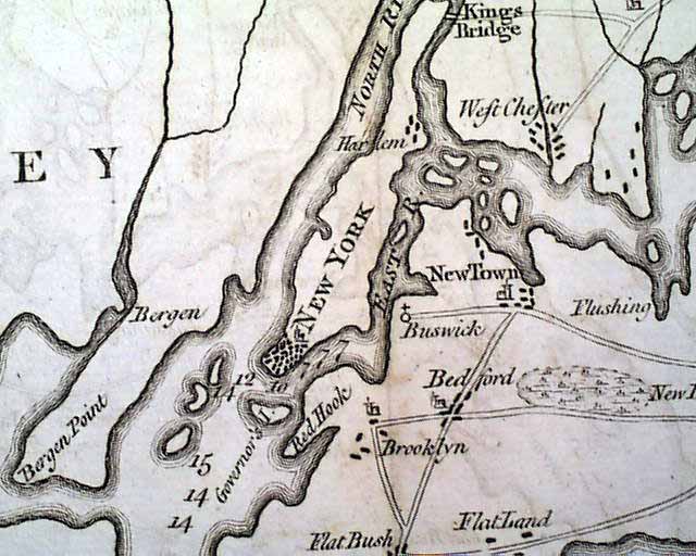
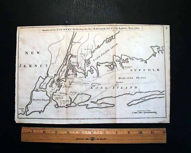
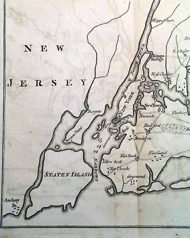
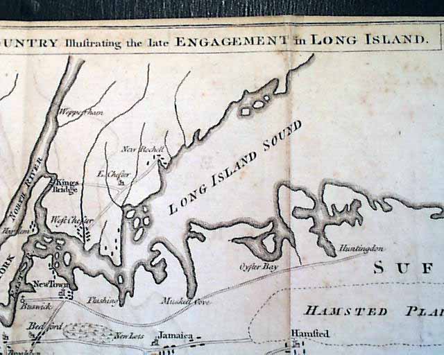
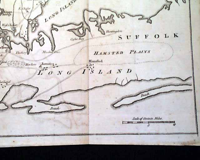
The map is a great fold-out headed: "Sketch of the Country Illustrating the late Engagement in Long Island". The map, which measures, 8 1/4 by 13 1/2 inches, shows the region from Amboy in New Jersey to "Hamsted Plains" and a bit beyond, and north to West Chester & New Rochelle. Points of interest on the map include New Utrecht, Brooklyn, Jamaica, "Flat Bush", New York, Harlem & Flushing. Also shown on the map are Bergen Point, Staten Island Oyster Bay, Governor's Island, King's Bridge & Long Island Sound. This map is in very nice condition but does have some typical ink off-setting (minimal) from the map folded against itself for over 230 years (see images).
* Rare Revolutionary War era map
* Long Island, New York City
The map is a great fold-out headed: "Sketch of the Country Illustrating the late Engagement in Long Island". The map, which measures, 8 1/4 by 13 1/2 inches, shows the region from Amboy in New Jersey to "Hamsted Plains" and a bit beyond, and north to West Chester & New Rochelle. Points of interest on the map include New Utrecht, Brooklyn, Jamaica, "Flat Bush", New York, Harlem & Flushing. Also shown on the map are Bergen Point, Staten Island Oyster Bay, Governor's Island, King's Bridge & Long Island Sound. This map is in very nice condition but does have some typical ink off-setting (minimal) from the map folded against itself for over 230 years (see images).
Category: The 1600's and 1700's
