

Kentucky maps... Two issue set...
Item # 565911Sorry, but this item is no longer available. Please be in touch at info@rarenewspapers.com if you would like to be placed on a want list or are interested in a potential alternate issue.
February 08, 1862
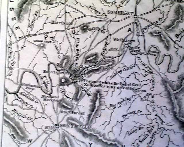
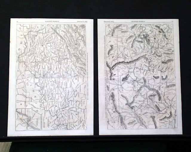
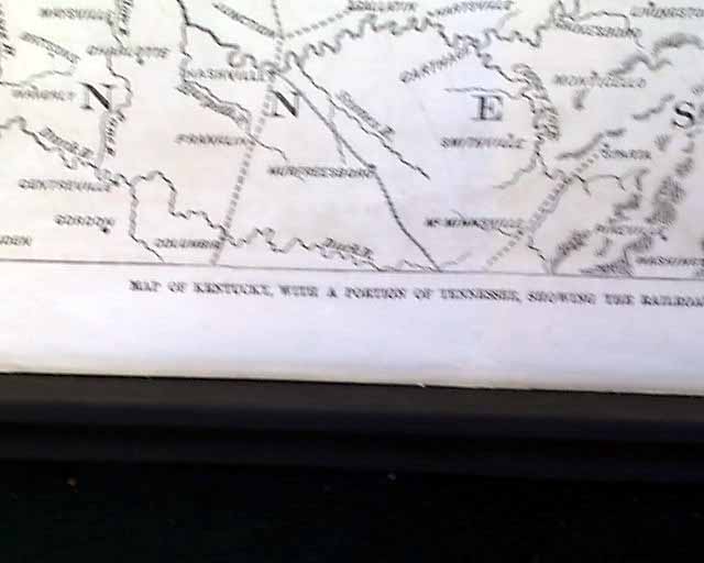
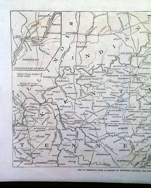
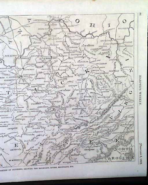
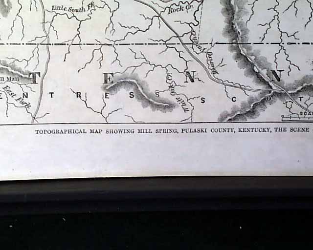
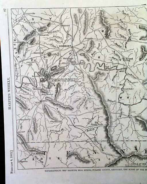
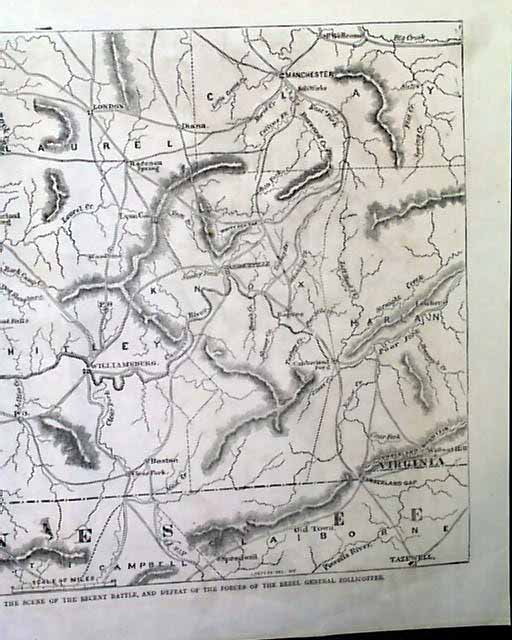
HARPER'S WEEKLY, from New York, dated February 8, 1862 (Prints Only) This is a set of two single page illustrations. Each page contains a map pertaining to Kentucky, one entitled "Map of Kentucky, with a Portion of Tennessee, Showing the Railroads, Rivers, Mountains, Etc." and the other "Topographical Map Showing Mill Spring, Pulaski County, Kentucky, the Scene of the Recent Battle, and Defeat of the Forces of the Rebel General Zollicoffer". Each page measures approximately 11 x 15.25 inches.
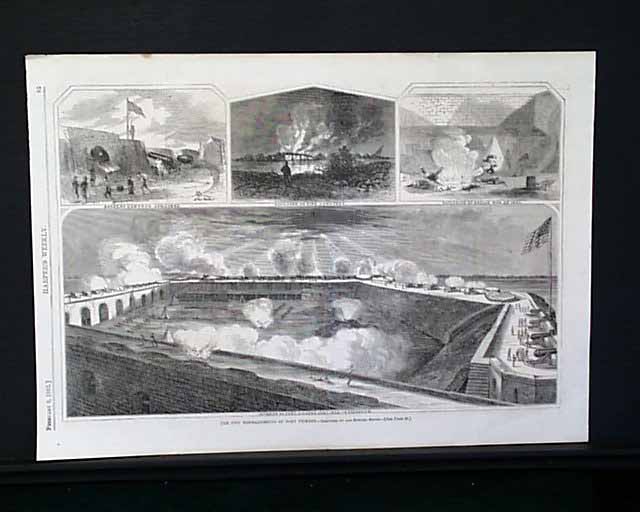
(Note: The reverse side of the "Map of Kentucky..." also contains a fullpage illustration "The Two Bombardments of Fort Pickens" which contains four illustrations).
(Note: The reverse side of the "Map of Kentucky..." also contains a fullpage illustration "The Two Bombardments of Fort Pickens" which contains four illustrations).
Category: Harper's Weekly
