Home > Back to Search Results >
Civil War map of Richmond, Petersburg & vicinity...
Civil War map of Richmond, Petersburg & vicinity...
Item # 705694
May 15, 1862
NEW YORK TIMES, May 15, 1862
* General George B. McClellan
* Peninsula Campaign Civil War map
* Richmond & Petersburg, Virginia
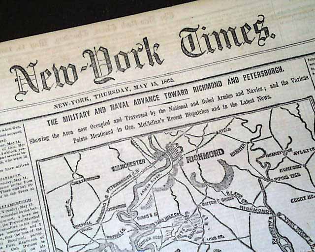
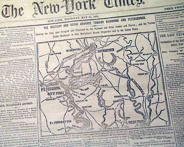
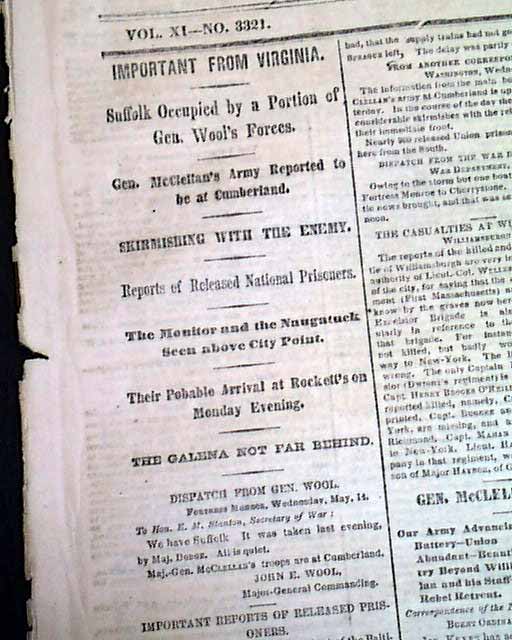
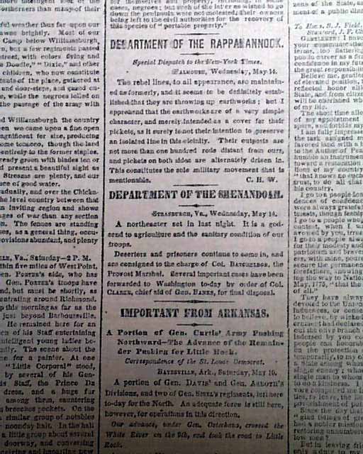
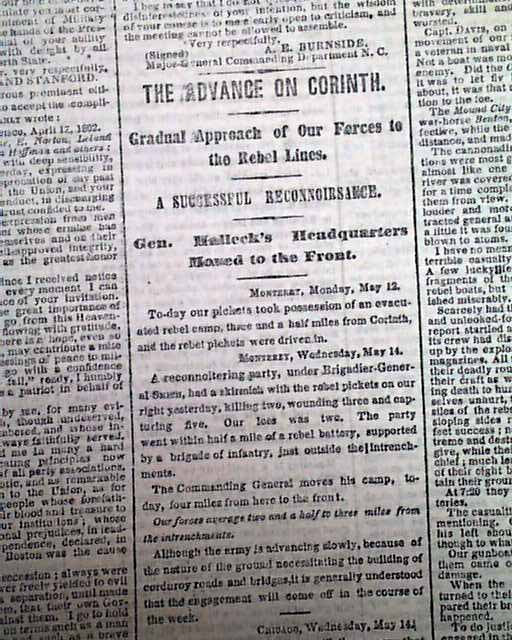
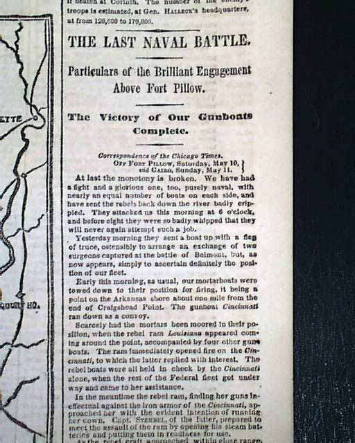
The front page features a nice & very detailed Civil War map headed: "The Military and Naval Advance Toward Richmond and Petersburgh." (see). Plus there are nice one column Civil War heads including: "Suffolk Occupied by a Portion of Gen. Wool's Forces" "Skirmishing With the Enemy" "The Advance On Corinth" "The Last Naval Battle" "Particulars of the Brilliant Engagement Above Fort Pillow" and more.
Eight pages, nice condition.
AI notes: The May 15, 1862 issue of The New York Times featured a prominent front-page Civil War map focused on the Union’s advance during General George B. McClellan’s Peninsula Campaign, the major spring offensive aimed at capturing Richmond, Virginia, the Confederate capital. Titled The Military and Naval Advance Toward Richmond and Petersburg, the map visually detailed the geography of eastern Virginia, tracing rivers such as the James and York, railroads, towns, and roads critical to military movement, while marking Union army positions and naval operations supporting the advance. Appearing at a moment when Northern readers closely followed daily developments, the map served both as a strategic explanation and as wartime journalism, helping civilians understand the scale, direction, and challenges of the campaign as Union forces pushed inland from Fort Monroe toward Richmond in one of the most closely watched operations of the war’s early years.
Category: Yankee
Available Now
$52.00