Home > Back to Search Results >
Map of Washington, D.C. & the suburbs...

Map of Washington, D.C. & the suburbs...
Item # 695258
September 07, 1862
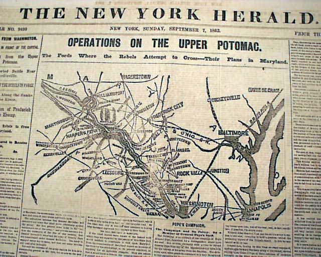
NEW YORK HERALD, Sept. 7, 1862
* Confederates' Maryland campaign w/ map
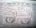
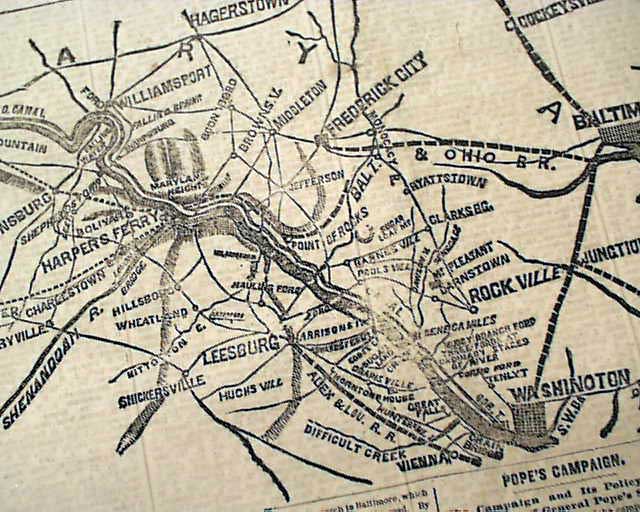
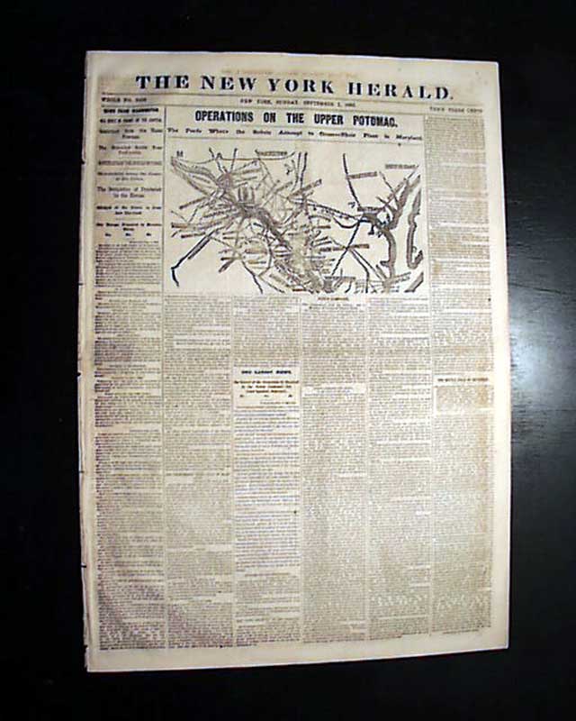
The front page has a nice & quite detailed map headed: "OPERATIONS ON THE UPPER POTOMAC. The Fords Where the Rebels Attempt to Cross--Their Plans in Maryland." which shows Washington, D.C., and the towns north of it including Hagerstown, Leesburg, Martinsburg, Harper's Ferry, Havre De Grace, Annapolis & much more.
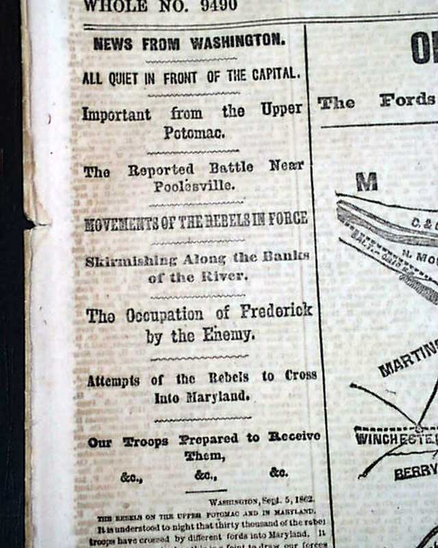
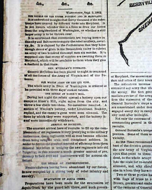
There are also related front page Civil War heads which include: "The Occupation of Frederick by the Enemy" "Movements of the Rebels In Force" "Attempts of the Rebels to Cross Into Maryland" and more.
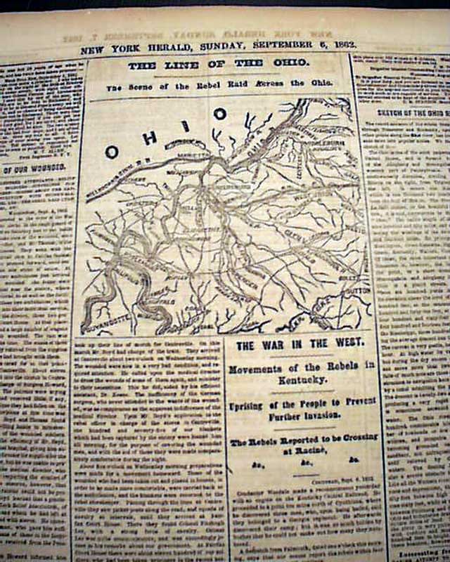
There is also a nice back page map headed: "The Line Of The Ohio. The Scene of the Rebel Raid Across the Ohio" with some related heads as well.
Eight pages, some loss to back 2 leaves affects text but not to mentioned reports, minor margin tears, generally good condition.
AI notes: In September 1862, Washington, D.C. was a tense and heavily fortified hub as Confederate General Robert E. Lee’s army invaded the North during the Maryland Campaign, culminating in the bloody Battle of Antietam near the city. Following the Union’s strategic halt of Lee’s advance, the capital dealt with an influx of wounded soldiers and heightened fears of attack.
Category: Yankee
Available Now
$38.00