
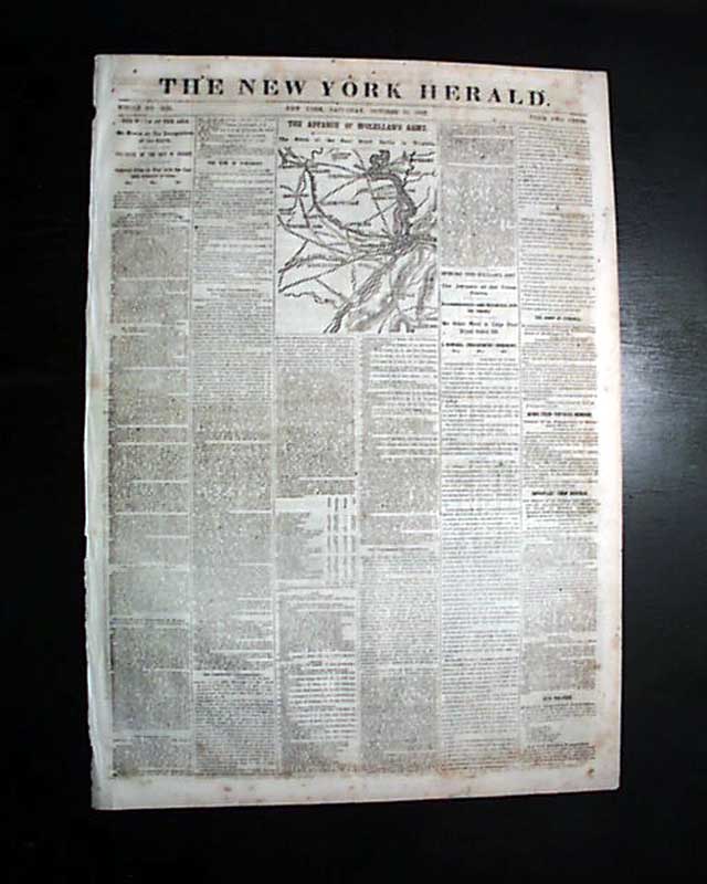
Civil War map of the Harper's Ferry vicinity...
Item # 693828
October 18, 1862
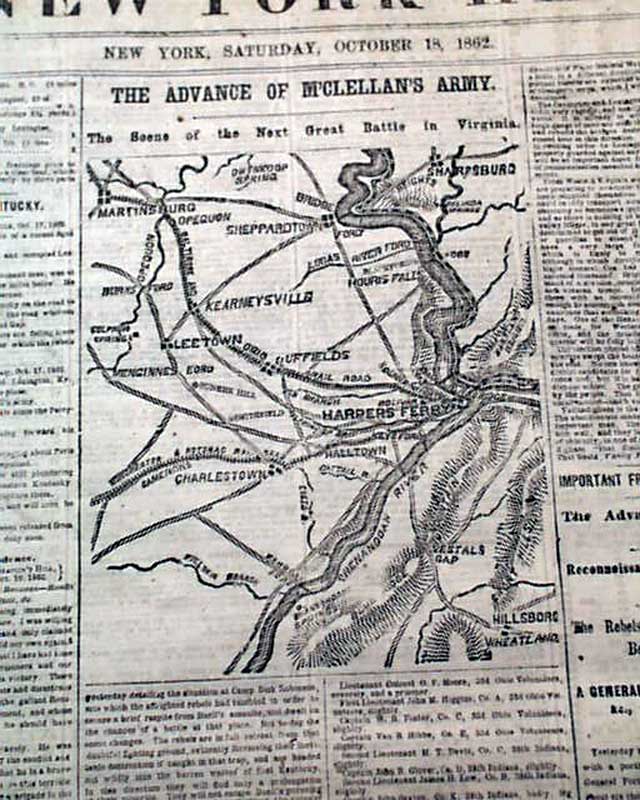
NEW YORK HERALD, Oct. 18, 1862 The front page features a nice Civil War map headed: "THE ADVANCE OF M'CLELLAN'S ARMY. The Scene of the Next Great Battle in Virginia" which shows from Martinsburg to Sharpsburg to Harper's Ferry & Hillsboro.
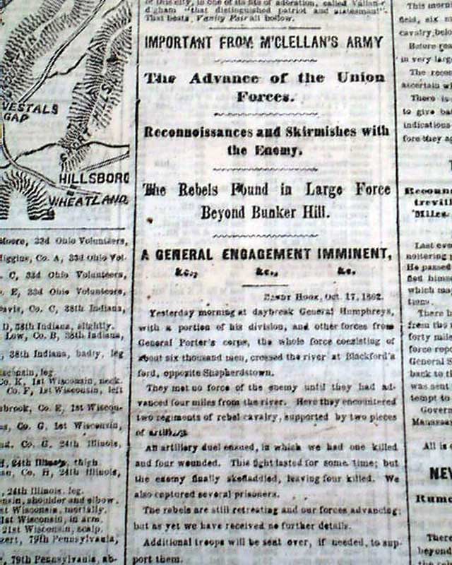
Among the front page column heads are: "The Advance of the Union Forces" "Reconnoissance & Skirmishes with the Enemy" "The Rebels Found in Large Force Beyond Bunker Hill" "A General Engagement Imminent" "Important From Norfolk" "The War In Kentucky".
Eight pages, nice condition.
Among the front page column heads are: "The Advance of the Union Forces" "Reconnoissance & Skirmishes with the Enemy" "The Rebels Found in Large Force Beyond Bunker Hill" "A General Engagement Imminent" "Important From Norfolk" "The War In Kentucky".
Eight pages, nice condition.
Category: The Civil War
