Home > Back to Search Results >
Fort Donelson, and two great Civil War maps, The "War Supplement"..


Fort Donelson, and two great Civil War maps, The "War Supplement"..
Item # 689145
March 15, 1862
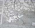
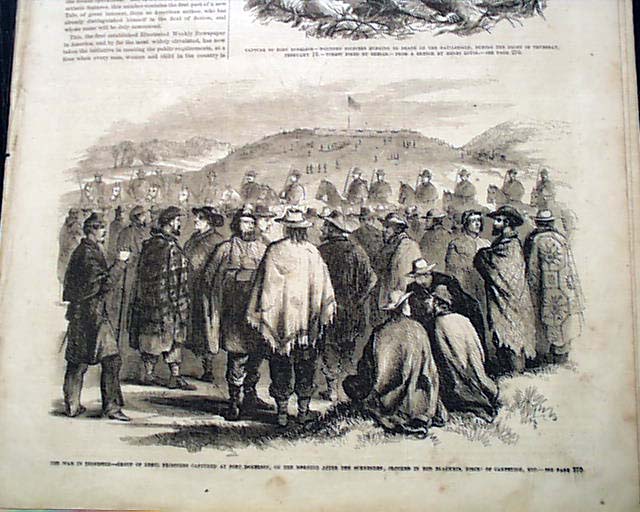
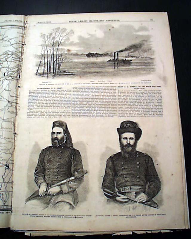
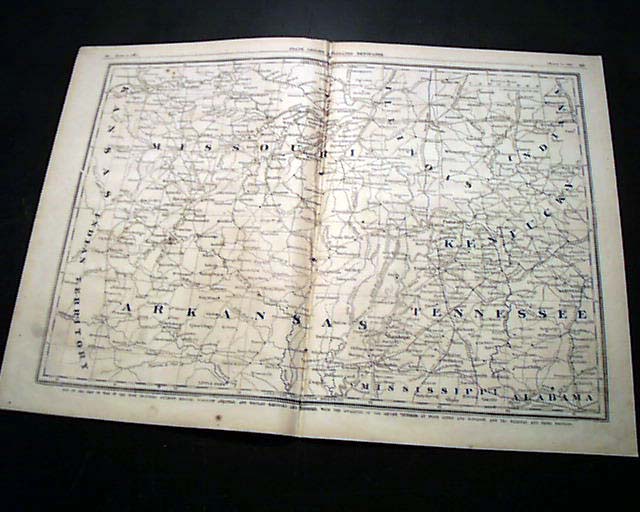
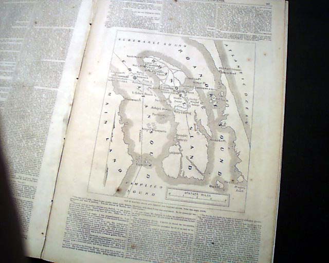
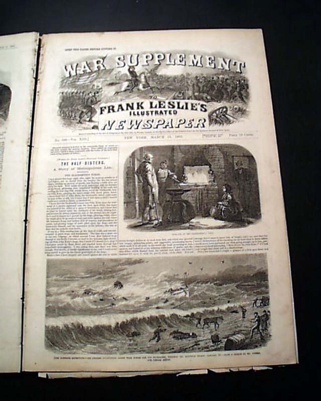
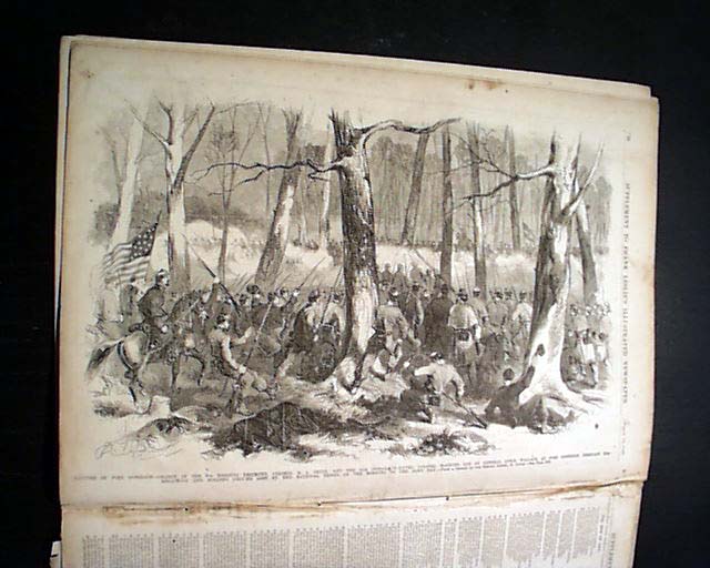
FRANK LESLIE'S ILLUSTRATED, New York, March 15, 1862 The front page has: "The War In Tennessee--Group of Rebel Prisoners Captured at Fort Donelson". Other prints within including: "Major-Gen. Ulysses S. Grant..." "Approach of the U.S. Gunboats to Fort Henry, Tenn. River", a terrific & very dramatic centerfold: "Storming of Fort Donelson...". Also a: "Map of Roanoke Island..." and a doublepage (non-contiguous pages): "Map of the Seat of War in the West..." showing parts of Arkansas, Mississippi, Alabama, Tennessee, Kentucky, Illinois, Indiana & Missouri.
Included also is the:
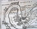
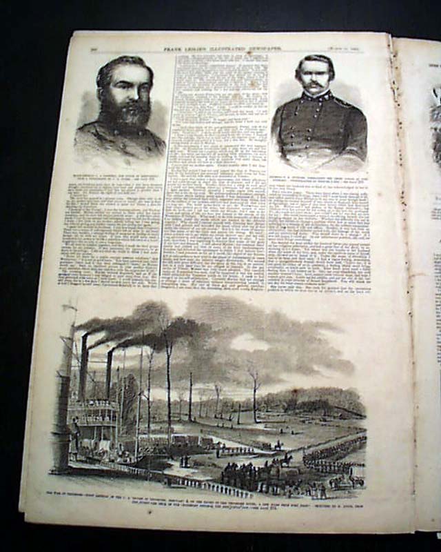
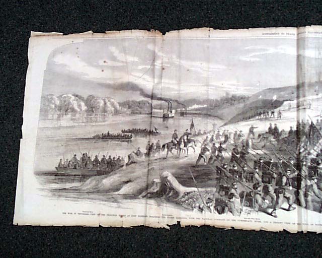
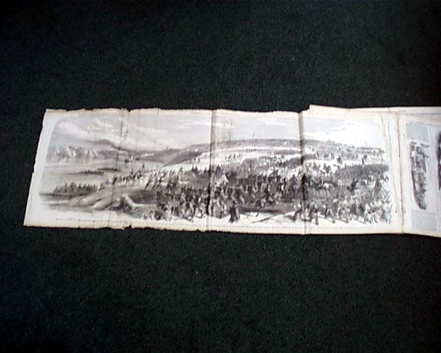
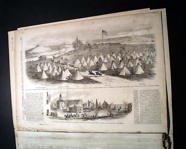
WAR SUPPLEMENT with the prime feature certainly being the great four page foldout print captioned: "The War in Tennessee--View of the Principal Works at Fort Donelson...Capitulation of the Rebels, & National Troops Marching to Occupy the Fortifications." This is a dramatic print and is in uncommonly nice condition as typically these huge prints (measures 16 by 45 inches) are damaged, torn, severely creased, etc. This print has some wear with some loss at margins, an archival mend to the reverse, scattered foxing or dirtiness (see photos) but is 100% present.In total 32 pages, nice condition.
Category: Yankee