Home >
Map of the Balkan Peninsula...

Map of the Balkan Peninsula...
Item # 688532
Currently Unavailable. Contact us if you would like to be placed on a want list or to be notified if a similar item is available.
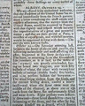
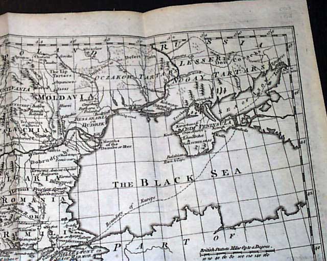
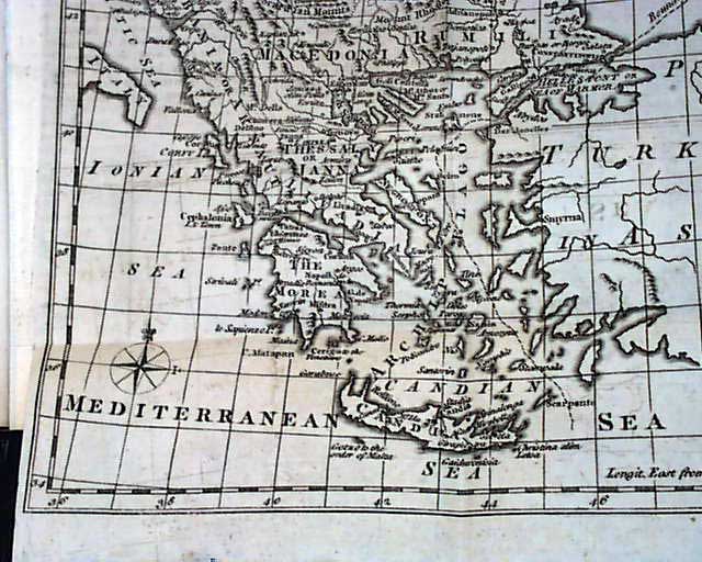
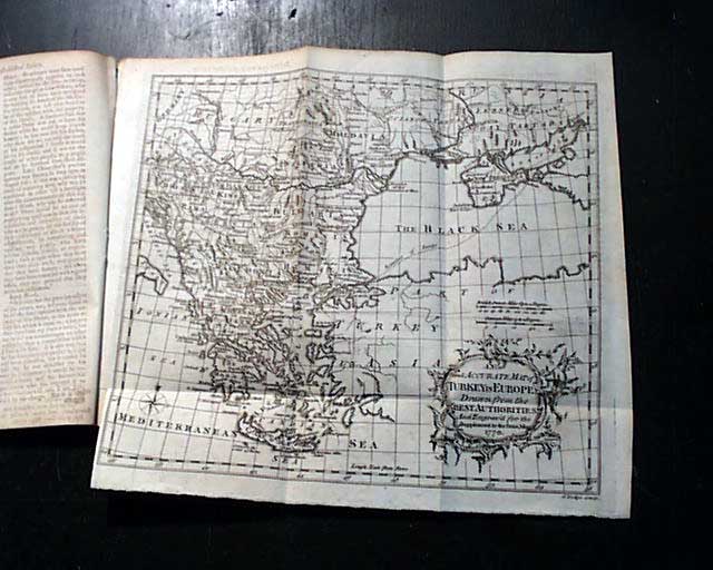
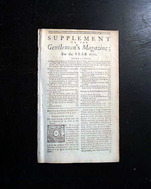
SUPPLEMENT TO THE GENTLEMAN'S MAGAZINE, London, 1770 This "Supplement" issue was produced at the end of the year. The prime content is the very nice & very detailed map, labeled in the cartouche as: "A New and Accurate Map of TURKEY IN EUROPE Drawn from the Best Authorities...1770". This map shows the Balkan peninsula and includes the region from then-Germany, to Russia, to the Mediterranean, to the Black Sea & Turkey and includes the heel of the "boot" of Italy. Very detailed & in uncommonly nice condition, folding out to measure 10 1/2 by 9 1/2 inches. There is an article: "A Review of the Present State of the War between the Russians and Turks..." which relates to this map, and also an article: "Particulars of the Taking of Falkland Islands...".This map is the only plate called for in this issue.
Complete in 32 pages. They did not use a full title/index page with the Supplements. Measures 5 by 8 1/4 inches, very nice condition.
Category: The 1600's and 1700's
No Longer Available