
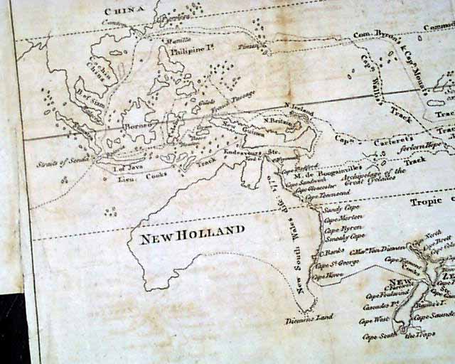
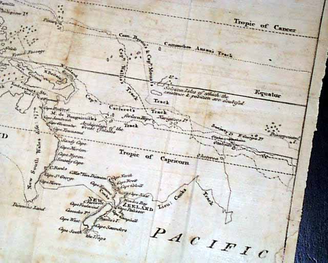

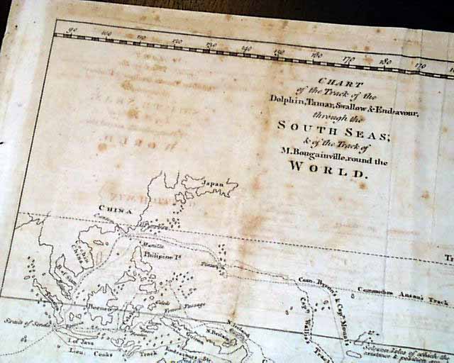
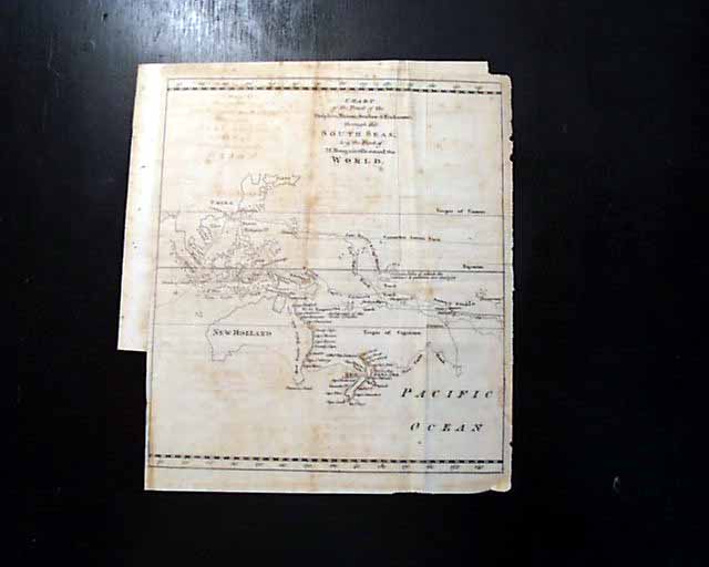
A map showing Captain Cook's voyage to Australia & vicinity...
Item # 654248Sorry, but this item is no longer available. Please be in touch at info@rarenewspapers.com if you would like to be placed on a want list or are interested in a potential alternate issue.
* Captain James Cook voyage map
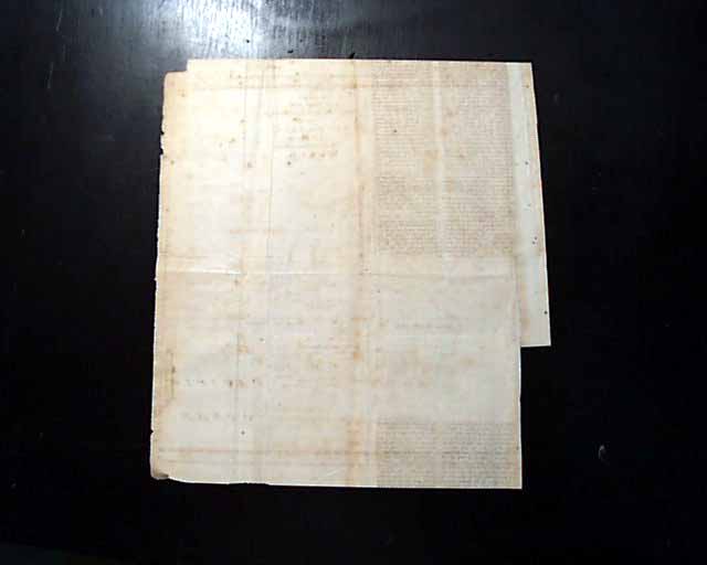
This is a very nice foldout map titled: "Chart of the Track of the Dolphin, Tamar, Swallow & Endeavour through the South Seas; & of the Track of M. Bougainville round the World". It measures 9 1/4 by 11 inches, various foxing and a bit irregular at the margins. There is a discrete repair near the lower right affecting a small potion of the border (see).
This was included with the "Supplement" issue of Gentleman's Magazine for the year 1773 but the issue is not present. Included is a photocopy of the front page verifying this map is from the 1773 Supplement issue.
Category: The 1600's and 1700's
