Home >
A map of the free and slave states...
A map of the free and slave states...
Item # 597847
Currently Unavailable. Contact us if you would like to be placed on a want list or to be notified if a similar item is available.
April 24, 1854
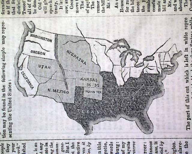
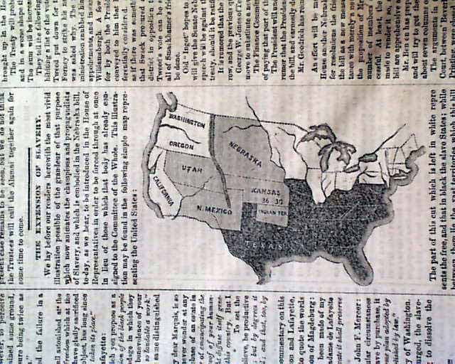
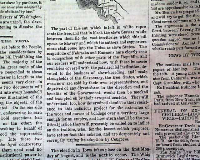
NEW YORK TRIBUNE, April 24, 1854 Page 4 has a very interesting and unusual graphic with an article titled: "The Extension Of Slavery" and including a map of the United States as it relates to the Nebraska Bill, showing: "...The part of this cut which is left in white represents the free, and that in black the slave States; while between them lie the vast territories which this bill opens to Slavery & which its authors & supporters mean shall come into the Union as slave states..." with more (see).
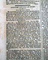
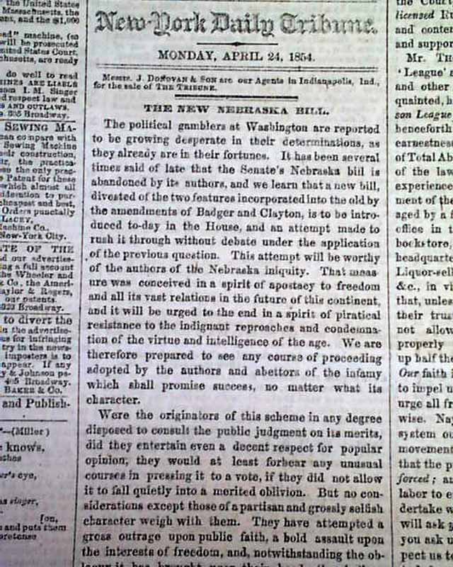
Page 4 also has an editorial titled: "The New Nebraska Bill" and also: "The Opinions of Washington".
Eight pages, water staining to the left half but causing no loss of readability, otherwise good.
Category: Pre-Civil War
No Longer Available