Home >
1776 map of the western hemisphere, including the United States...
1776 map of the western hemisphere, including the United States...
Item # 569455
Currently Unavailable. Contact us if you would like to be placed on a want list or to be notified if a similar item is available.
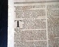
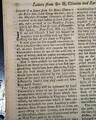
THE GENTLEMAN'S MAGAZINE, London, April, 1776 The issue begins with some lengthy: "Debates in the Present Parliament" continued from a previous issue, with much discussion concerning the situation in America. Near the beginning is: "...the following measures before they were proposed in Parliament; vis. For taxing America without the consent of its Assemblies for the purpose of a revenue...For taking away the charter of the province of Massachusetts Bay. For restraining the American fishery. For exempting murderers from trial in America..." with more. References to America carry over to 2 more pages.
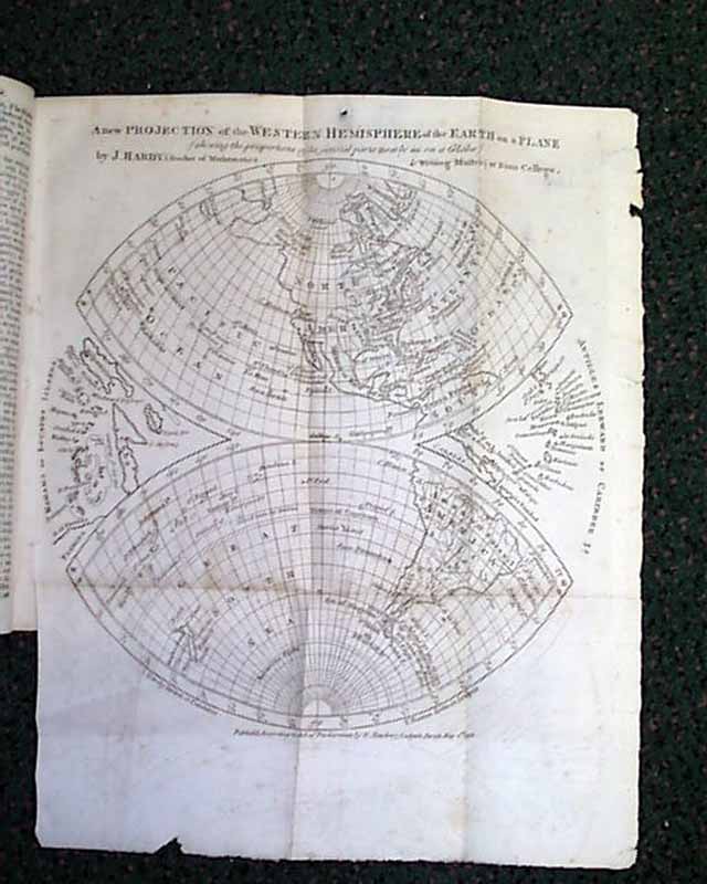
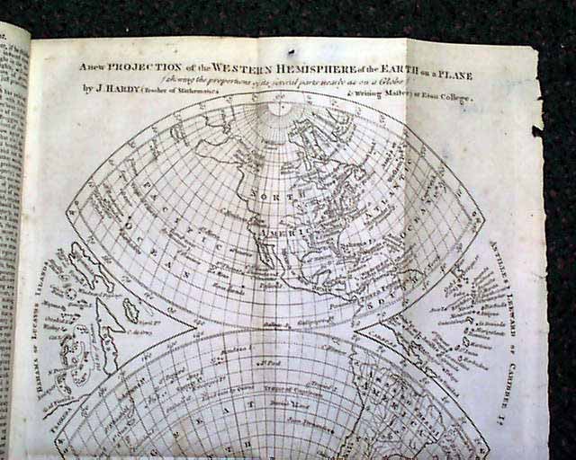
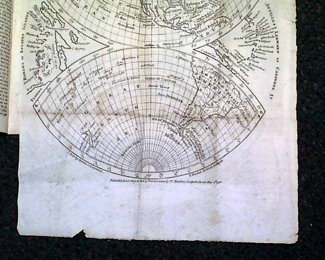
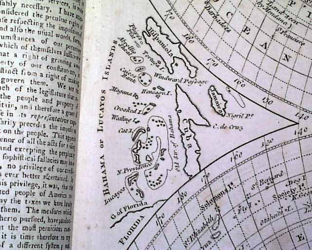
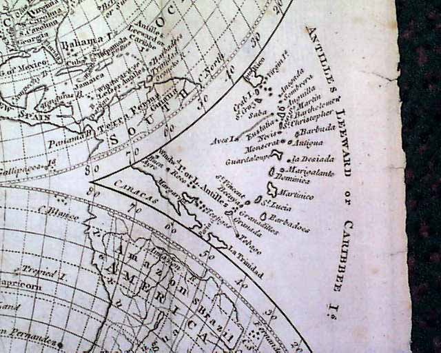
But the prime feature of this issue is the great map showing all of the western hemisphere, titled: "A New Projection of the Western Hemisphere of the Earth on a Plane shewing the proportions of its several parts nearly as on a Globe, By J. Hardy, at Eton College." The map is dated at the bottom: "by F. Newbery, Ludgate Street, May 1, 1776". Measures about 9 3/4 by 10 1/4 inches and in very nice, clean condition. There is a related article within this issue concerning the map.
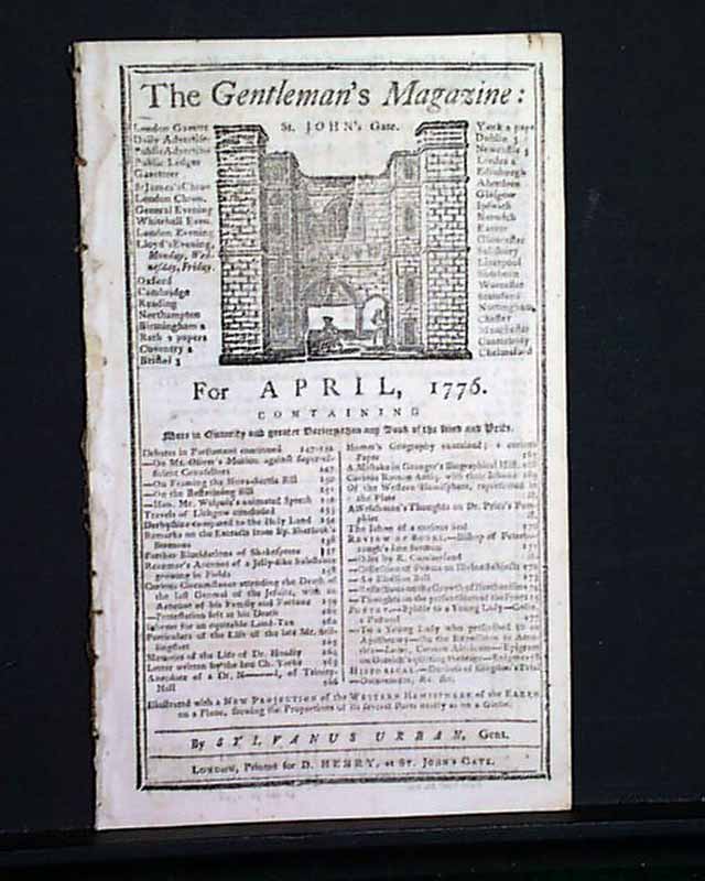
The issue is complete in 54 pages with a full title/contents page featuring an engraving of St. John's Gate. Irregular at the spine margin & a bit close-trimmed at the right edge of the title page only. Measures 5 by 8 inches.
Maps which show the United States from during the Revolutionary War are quite scarce & desirable.
But the prime feature of this issue is the great map showing all of the western hemisphere, titled: "A New Projection of the Western Hemisphere of the Earth on a Plane shewing the proportions of its several parts nearly as on a Globe, By J. Hardy, at Eton College." The map is dated at the bottom: "by F. Newbery, Ludgate Street, May 1, 1776". Measures about 9 3/4 by 10 1/4 inches and in very nice, clean condition. There is a related article within this issue concerning the map.
The issue is complete in 54 pages with a full title/contents page featuring an engraving of St. John's Gate. Irregular at the spine margin & a bit close-trimmed at the right edge of the title page only. Measures 5 by 8 inches.
Maps which show the United States from during the Revolutionary War are quite scarce & desirable.
Category: Revolutionary War
No Longer Available