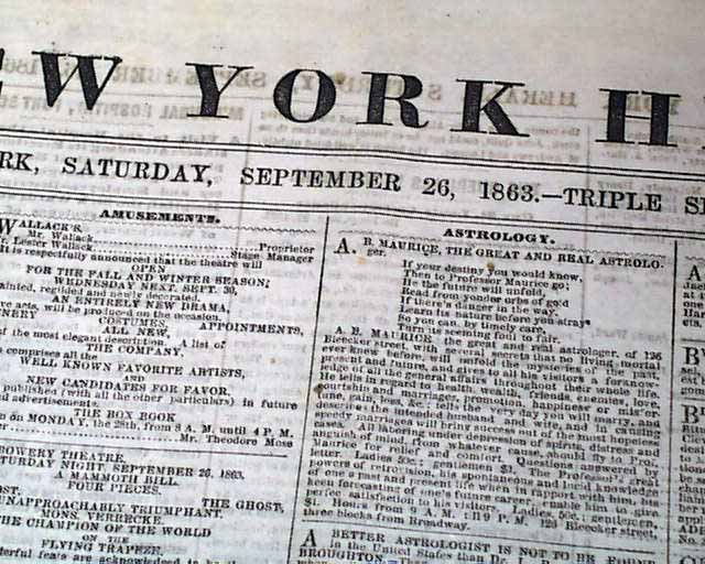
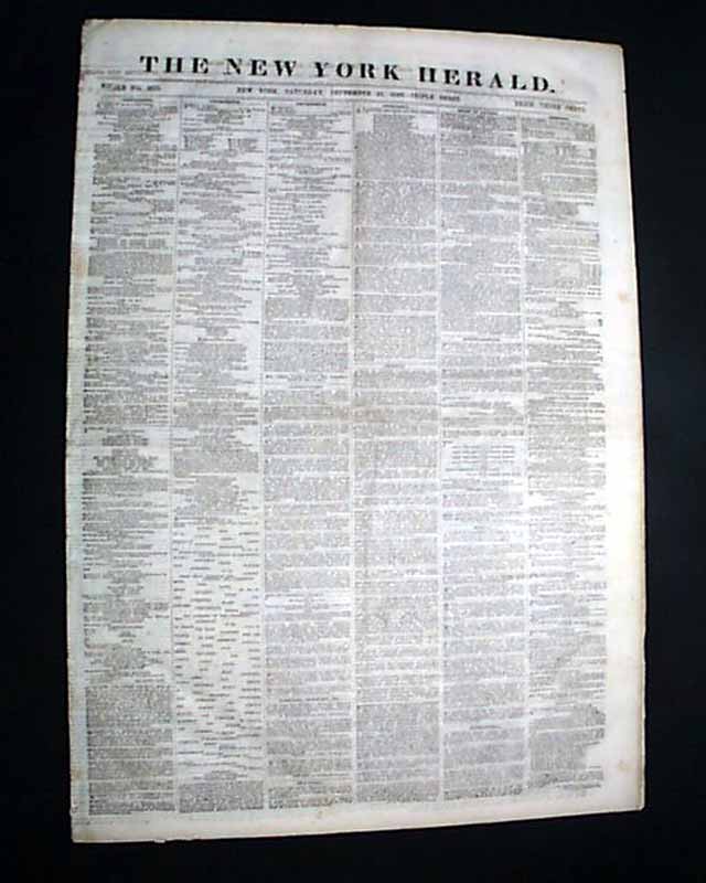
Huge Civil War map of Texas...
NEW YORK HERALD, Sept. 26, 1863
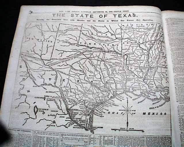
- Nice map of Texas
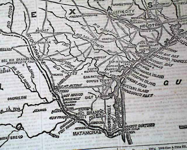
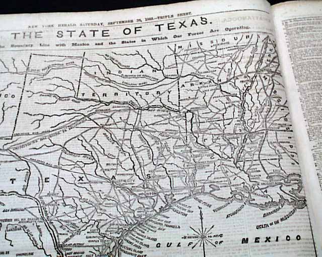
Fully half of page 4 is taken up with a terrific & very detailed map headed: "THE STATE OF TEXAS. Showing the Boundary Line with Mexico and the States in Which Our Forces Are Operation."
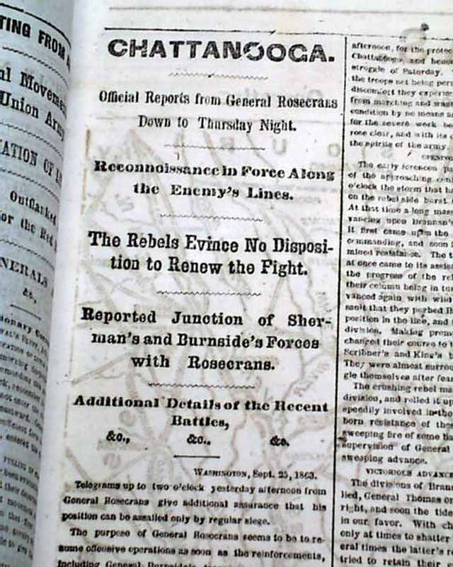
Many war-related column heads on pages 2 and 3 including; "Chattanooga" "The Rebels Evince No Disposition to Renew the Fight" "The Evacuation of Little Rock" and much more.
Twelve pages, page 2 close-trimmed at the spine margin but on a different page from the Texas content, nice condition.
Background: Occupying fully half of page four in the September 26, 1863 edition of the New York Herald, this prominent woodcut map titled "THE STATE OF TEXAS. Showing the Boundary Line with Mexico and the States in Which Our Forces Are Operating" captures a crucial geopolitical crossroads of the American Civil War. The graphic provides an expansive, meticulously etched layout detailing the vast Texas interior, major river systems, Gulf coastlines, and vital military transport corridors alongside adjacent Mexican territories and Confederate states. Printed just weeks after the Union's defeat at the Battle of Sabine Pass, the map's strategic emphasis centers heavily on the Rio Grande border zone—a critical conduit where Southern cotton was funneled into neutral Mexico to bypass the Federal naval blockade, as well as a flashpoint of Northern concern over French imperial intervention in Mexico under Emperor Maximilian. By visually charting troop theaters, coastal ports, and international boundary lines, the Herald delivered northern readers an indispensable visual guide to Major General Nathaniel P. Banks's upcoming Rio Grande Expedition and the broader campaign to isolate the Trans-Mississippi Confederacy.
Other issues you may like
§ related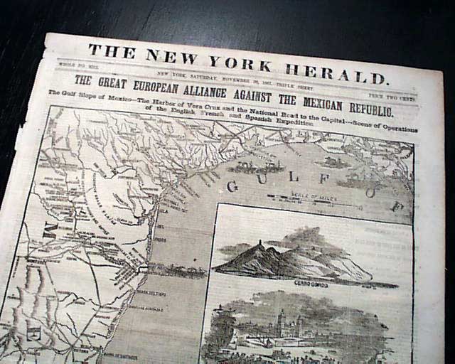
NEW YORK HERALD, Nov. 30, 1861 An extremely decorative issue, as the entire front page is taken up with a huge map headed: "THE GREAT EUROPEAN ALLIANCE
...
NEW YORK HERALD, Nov. 30, 1861
- Gulf of Mexico coast map
- Texas - Mexico
An extremely decorative issue, as the entire front page is taken up with a huge map
...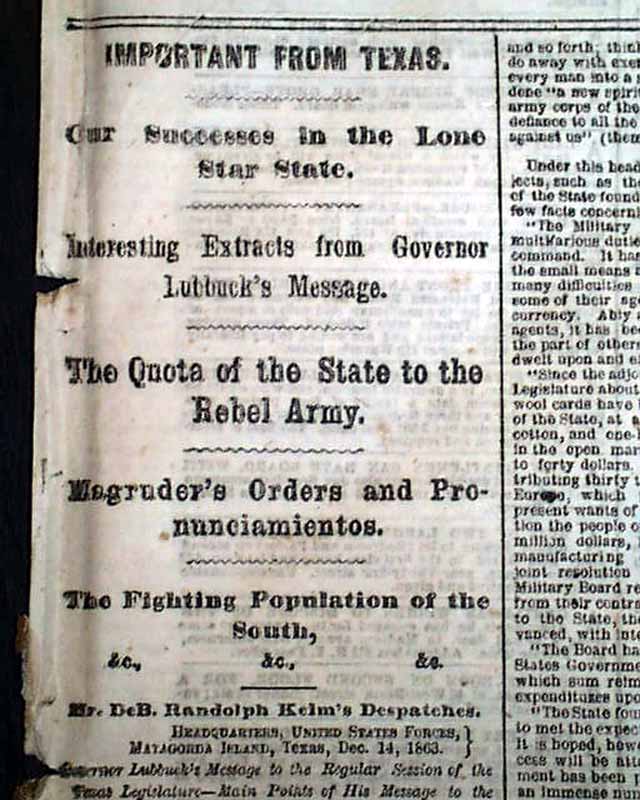
NEW YORK HERALD, Jan. 4, 1864 Among the front page first column heads on the Civil War are: "Important From Texas" "Our Successes in the Lone Star State"
...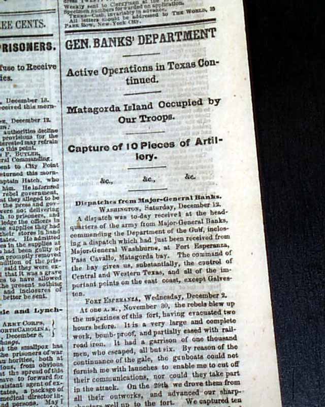
THE WORLD, New York, Dec. 14, 1863 Among the front page column heads on the Civil War are: The Richmond Prisoners" "Rebel Authorities Refuse to Receive
...