


Huge front page map shows much of Texas...
Item # 698117
·
NEW YORK HERALD, Nov. 30, 1861
* Gulf of Mexico coast map
* Texas - Mexico
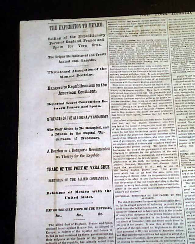
An extremely decorative issue, as the entire front page is taken up with a huge map headed: "THE GREAT EUROPEAN ALLIANCE AGAINST THE MEXICAN REPUBLIC" with a subhead: "The Gulf Slope of Mexico--The Harbor of Vera Cruz and the National Road to the Capital--Scene of Operations of the English, French and Spanish Expedition." with the map showing much details. There is an inset showing Cerro Gordo, Mexico City, Tampico, Castle of San Juan De Ulua, and a diagram of the city of Vera Cruz.
In additional to showing the Mexican coastline the map extends to the cost of Texas and Louisiana as well, showing New Orleans, Sabine City, Galveston, Houston, Padre Island, and present-day Brownsville, and so much more including much of the interior of Texas.
A wealth of Civil War reporting on the inside pages. Twelve pages, very nice condition.
* Gulf of Mexico coast map
* Texas - Mexico
An extremely decorative issue, as the entire front page is taken up with a huge map headed: "THE GREAT EUROPEAN ALLIANCE AGAINST THE MEXICAN REPUBLIC" with a subhead: "The Gulf Slope of Mexico--The Harbor of Vera Cruz and the National Road to the Capital--Scene of Operations of the English, French and Spanish Expedition." with the map showing much details. There is an inset showing Cerro Gordo, Mexico City, Tampico, Castle of San Juan De Ulua, and a diagram of the city of Vera Cruz.
In additional to showing the Mexican coastline the map extends to the cost of Texas and Louisiana as well, showing New Orleans, Sabine City, Galveston, Houston, Padre Island, and present-day Brownsville, and so much more including much of the interior of Texas.
A wealth of Civil War reporting on the inside pages. Twelve pages, very nice condition.
Category: Yankee
Price
$77
100% Authentic: Original printing, never a reproduction.
Other issues you may like
§ related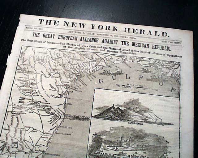
Huge front page map shows much of Texas...
NEW YORK HERALD, Nov. 30, 1861 An extremely decorative issue, as the entire front page is taken up with a huge map headed: "THE GREAT EUROPEAN ALLIANCE...
Nov 1861
$77
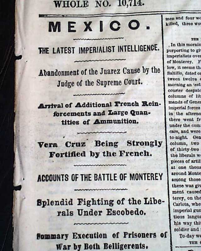
Much on the Battle of Monterrey, Mexico...
NEW YORK HERALD, Dec. 29, 1865 The front page has first column heads: "MEXICO" "Vera Cruz Being Strongly Fortified by the French" "Accounts of the Battle...
Dec 1865
$32
Matagorda Peninsula expedition... Texas...
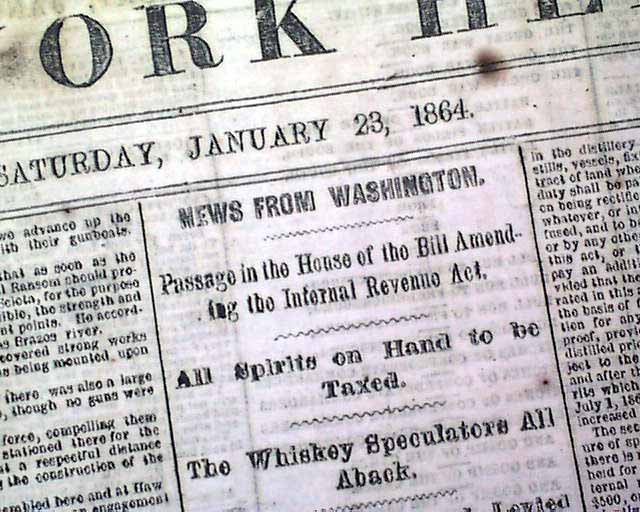
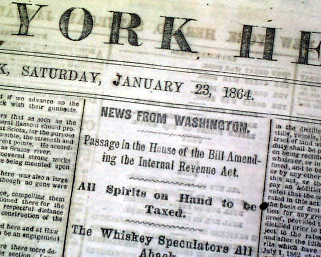
NEW YORK HERALD, Jan. 23, 1864 Among the front page one column heads on the Civil War are: "Important From the Gulf", "The Expedition to the Matagorda...
Jan 1864
$32
Matagorda Peninsula expedition... Texas...
NEW YORK HERALD, Jan. 23, 1864 Among the front page one column heads on the Civil War are: "Important From the Gulf", "The Expedition to the Matagorda...
Jan 1864
$32