
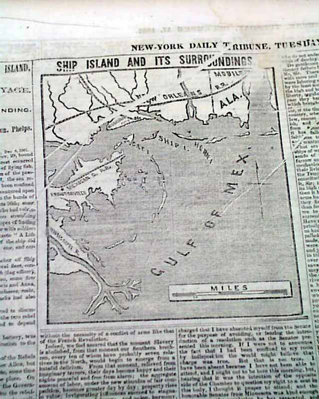

Map showing Ship Island during the Civil War...
Item # 695305
·
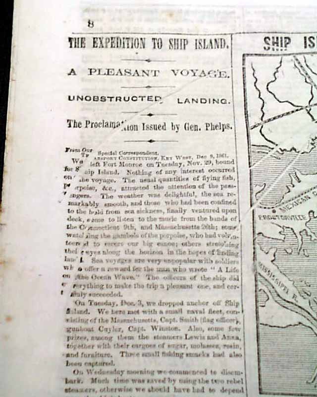
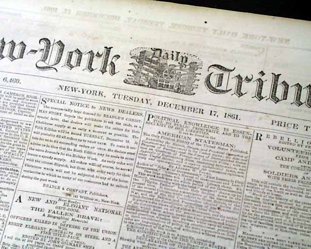
NEW YORK TRIBUNE, Dec. 17, 1861 The format of this title at this time was advertisements on the front page with the wealth of Civil War reporting on inside pages. The back page features a Civil War map headed: "SHIP ISLAND AND ITS SURROUNDINGS". Column heads include: "THE EXPEDITION TO SHIP ISLAND" "Unobstructed Landing" "Slavery in the District of Columbia" "Interesting From Port Royal" "The Expedition To Beaufort" "A Negro Battle" and much more.
Eight pages, never-trimmed margins, nice condition.
Background: The December 17, 1861, edition of the New York Tribune captures a transformative "pivot point" in the American Civil War, documenting the transition from a localized rebellion to a massive, multi-front amphibious war. The headlines regarding the Ship Island Expedition and Port Royal signify the Union’s "Anaconda Plan" in action, as federal forces seized strategic coastal islands to choke Confederate commerce and establish staging grounds for the eventual capture of New Orleans. Simultaneously, the reports on "Slavery in the District of Columbia" and "A Negro Battle" highlight the escalating political and social pressures that were forcing the Lincoln administration to confront the "slavery question" head-on. By reporting on early military engagements involving Black Americans and the legislative debates in the capital, this specific issue of the Tribune serves as a primary record of how the Union's war aims were shifting from a simple preservation of the Union toward the much more radical goal of total emancipation.
Category: Yankee
Price
$42
100% Authentic: Original printing, never a reproduction.
Other issues you may like
§ related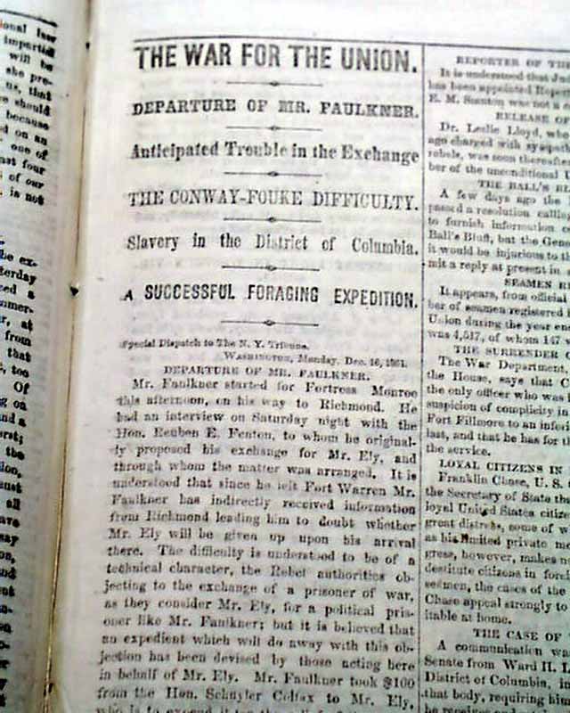
Map showing Ship Island during the Civil War...
NEW YORK TRIBUNE, Dec. 17, 1861 The format of this title at this time was advertisements on the front page with the wealth of Civil War reporting on inside...
Dec 1861
$39
Two front page Civil War maps...
NEW YORK TRIBUNE, May 12, 1862
* Battle of Eltham's Landing
* Surrender of Norfolk, Virgina
* Two ftpg. Civil War maps
The front page is dominated by not one...
* Battle of Eltham's Landing
* Surrender of Norfolk, Virgina
* Two ftpg. Civil War maps
The front page is dominated by not one...
May 1862
$47
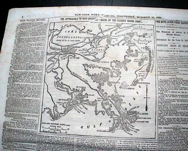
Map showing the approach to New Orleans...
NEW YORK TRIBUNE, Oct. 16, 1861
* Lower Mississippi River map
The format of this title at this time was advertisements on the front page with the...
* Lower Mississippi River map
The format of this title at this time was advertisements on the front page with the...
Oct 1861
$34
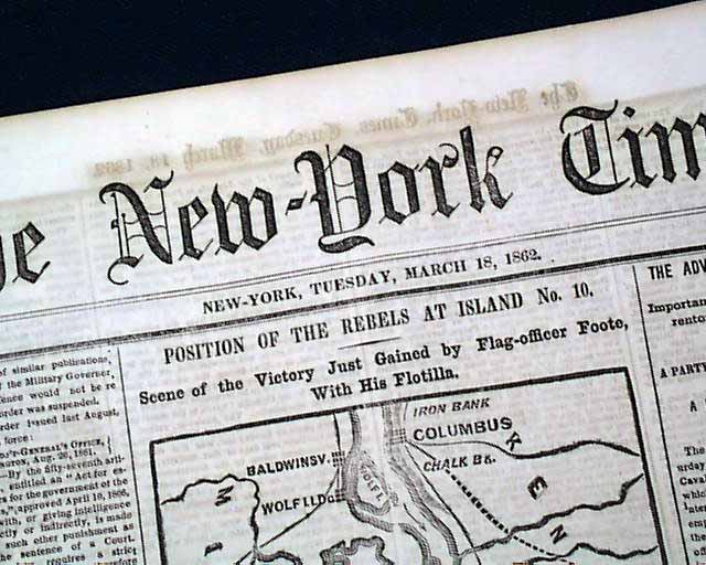
Map of the Mississippi River...
THE NEW YORK TIMES, New York City, New York, March 18, 1862
* Island No. 10
* Mississippi River
* New Madrid, Missouri
* Columbus Kentucky
The...
* Island No. 10
* Mississippi River
* New Madrid, Missouri
* Columbus Kentucky
The...
Mar 1862
$18