
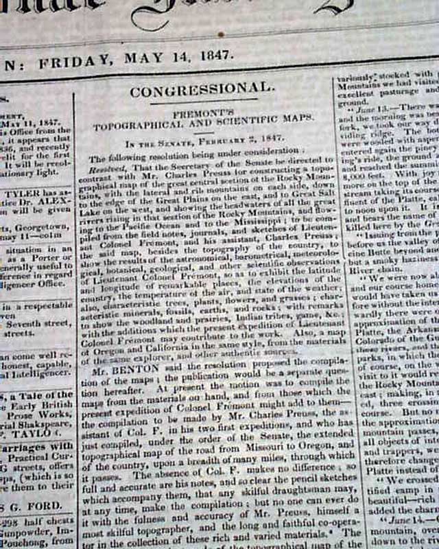
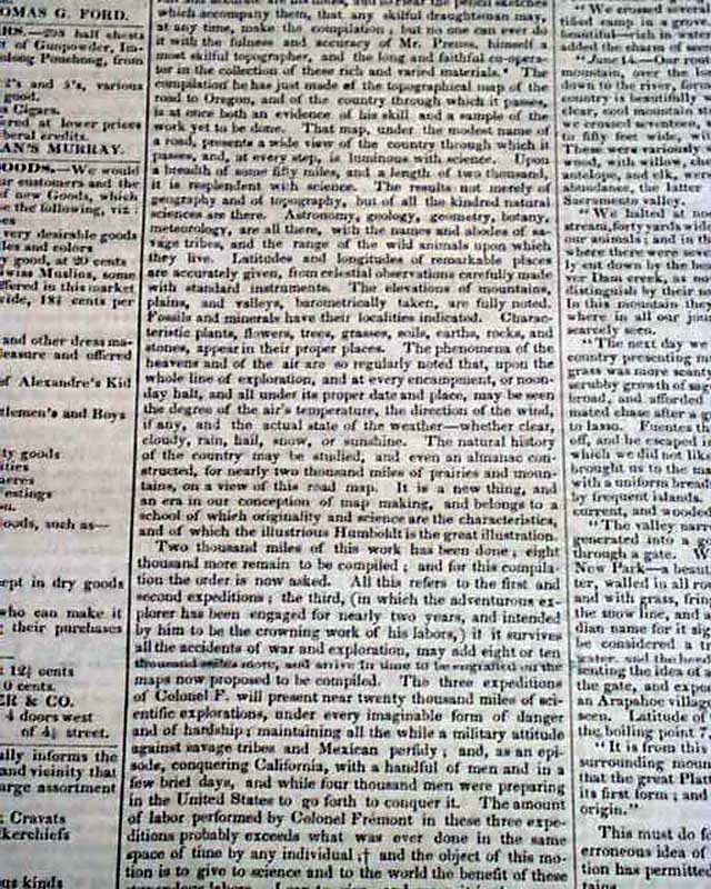
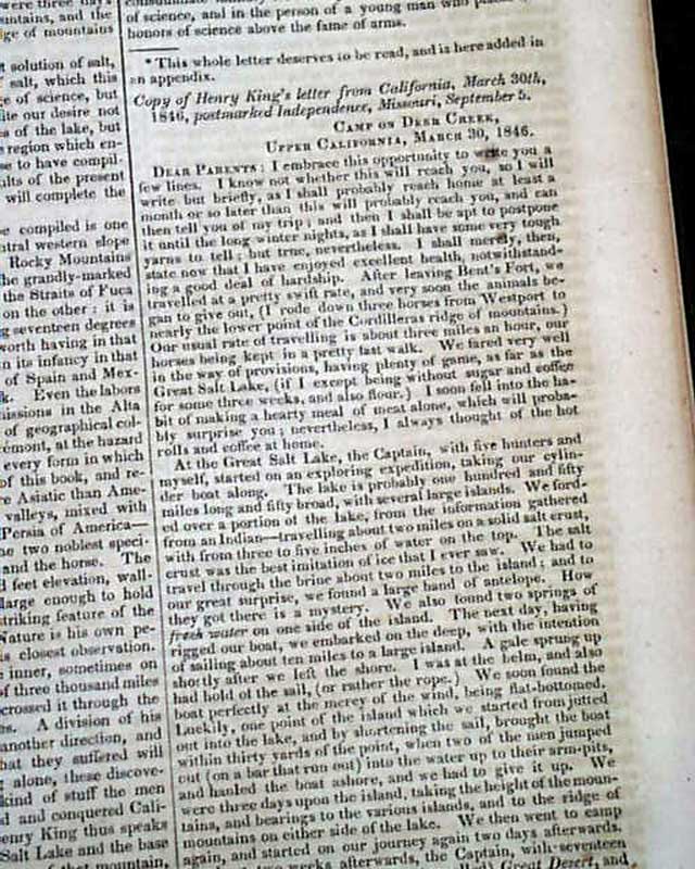
Topography of the American West... The Mexican War...
Item # 691634
May 14, 1847
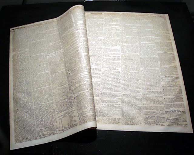
DAILY NATIONAL INTELLIGENCER, Washington, D.C., May 14, 1847 Half of the front page is taken up with an interesting & very detailed report to Congress: "Fremont's Topographical and Scientific Maps" which concerns much of explorations in the American West.
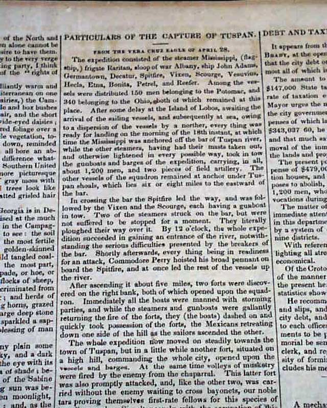
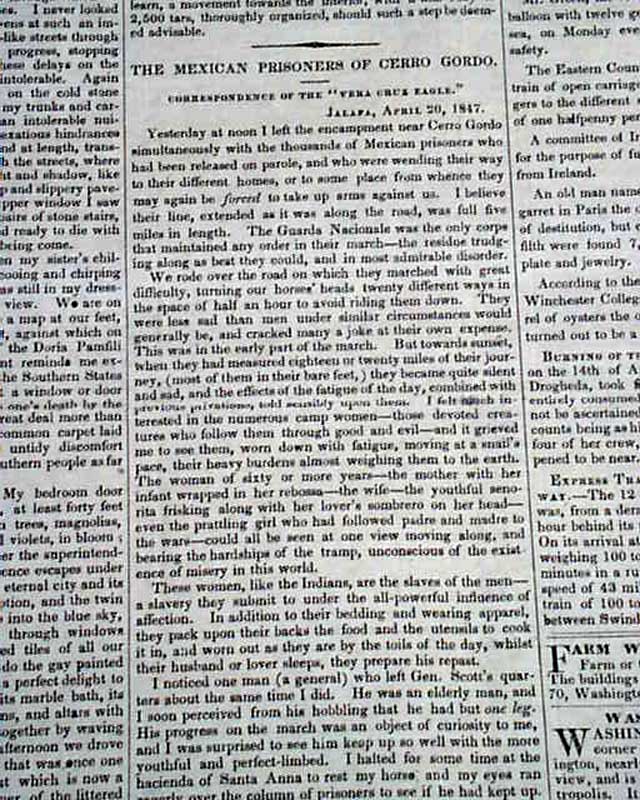
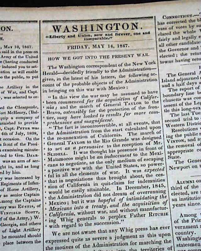
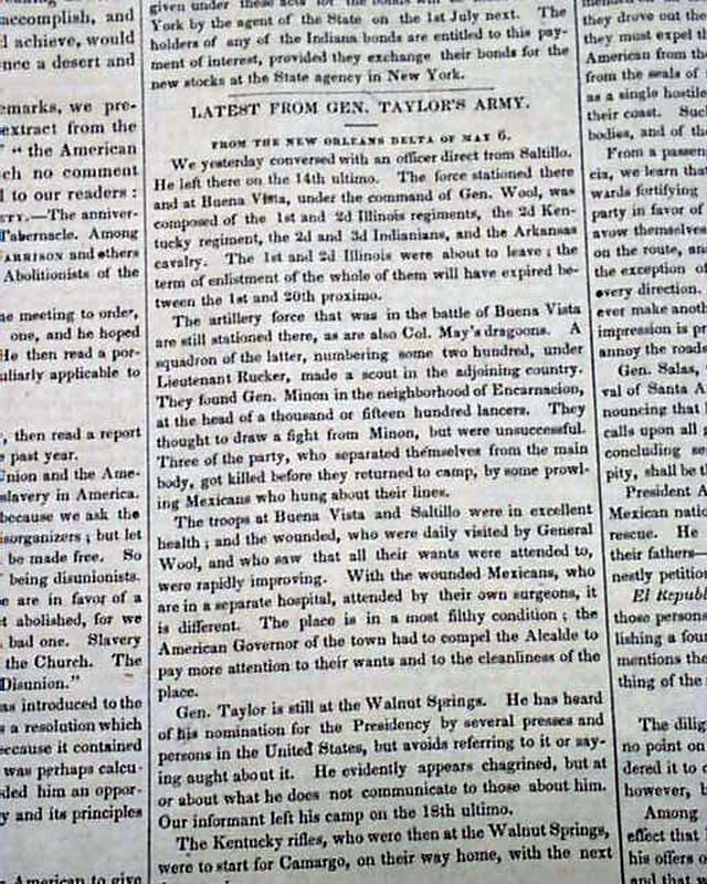
Inside has much on the Mexican War including: "Particulars of the Capture of Tuspan [Tuxpan]" "The Mexican Prisoners of Cerro Gordo" "How We Got Into the Present War" "Latest From Gen. Taylor's Army" "Action of the Mexican Congress" and: "The Advance of Our Army in Mexico".
Four pages, very nice condition.
Note: John C. Frémont's topographical maps from the mid-1840s were instrumental in charting the American West and guiding pioneers along routes like the Oregon Trail.
Category: Pre-Civil War
