
Civil War map of the Savannah & Hilton Head region...
Item # 590338Sorry, but this item is no longer available. Please be in touch at info@rarenewspapers.com if you would like to be placed on a want list or are interested in a potential alternate issue.
April 03, 1862
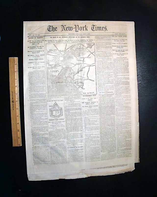
THE NEW YORK TIMES, April 3, 1862
* Savannah, Georgia map
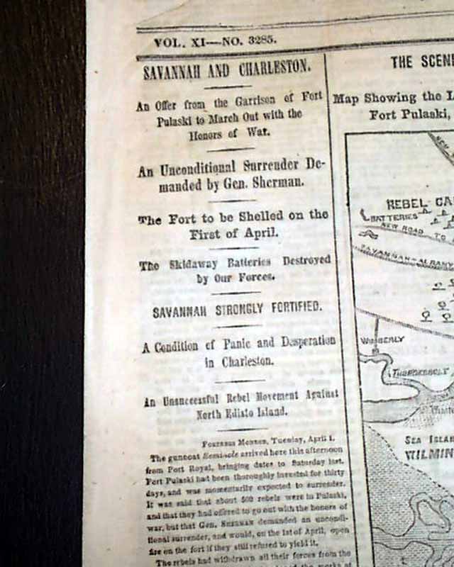
* Fort Pulaski
* William T. Sherman
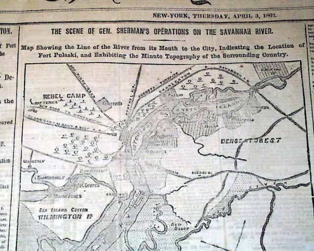
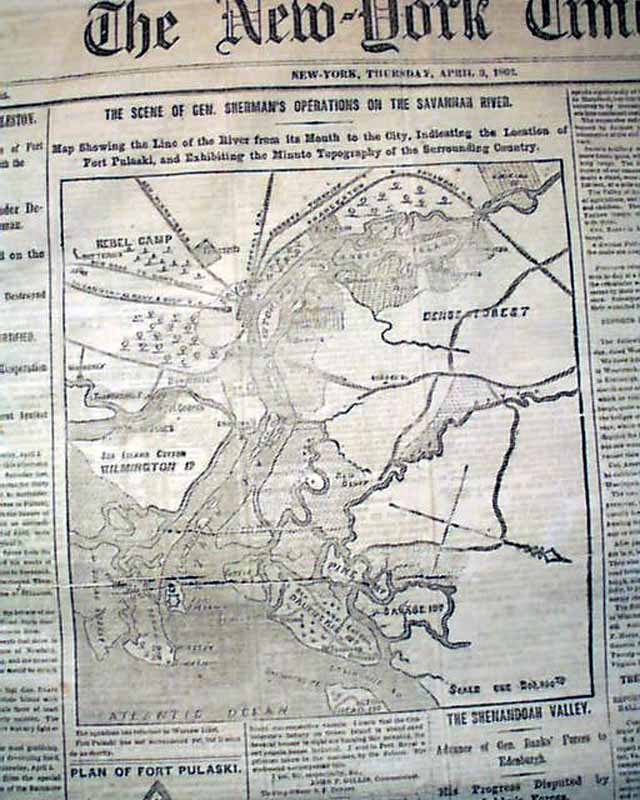
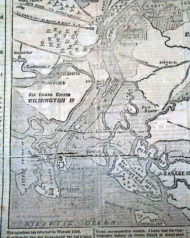
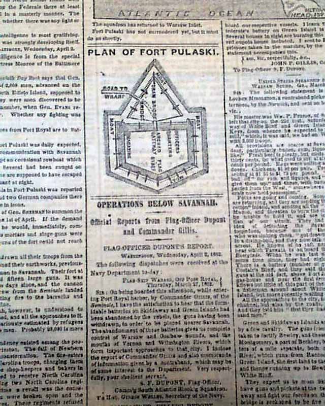
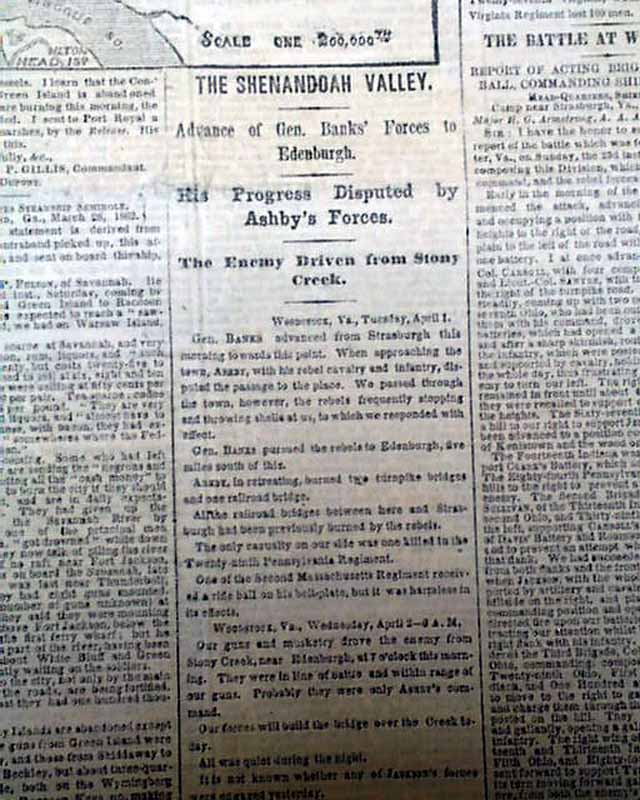
The front page features a nice & detailed Civil War map headed: "The Scene of Gen. Sherman's Operations On The Savannah River. Map Showing the Line of the River from its Mouth to the City, Indicating the Location of Fort Pulaski & Exhibiting the Minute Topography of the Surrounding Country." There is also a more detailed diagram headed: "Plan of Fort Pulaski". There are related one column heads on the front page also including: "Savannah & Charleston" "An Unconditional Surrender Demanded by Gen. Sherman" "The Shenandoah Valley" "Savannah Strongly Fortified" & more (see photos). Complete in 8 pages, never bound nor trimmed, minor wear along bottom margin, otherwise nice. Rare to find issue as such, just as sold on the streets of New York during the Civil War.
* Savannah, Georgia map
* Fort Pulaski
* William T. Sherman
The front page features a nice & detailed Civil War map headed: "The Scene of Gen. Sherman's Operations On The Savannah River. Map Showing the Line of the River from its Mouth to the City, Indicating the Location of Fort Pulaski & Exhibiting the Minute Topography of the Surrounding Country." There is also a more detailed diagram headed: "Plan of Fort Pulaski". There are related one column heads on the front page also including: "Savannah & Charleston" "An Unconditional Surrender Demanded by Gen. Sherman" "The Shenandoah Valley" "Savannah Strongly Fortified" & more (see photos). Complete in 8 pages, never bound nor trimmed, minor wear along bottom margin, otherwise nice. Rare to find issue as such, just as sold on the streets of New York during the Civil War.
Category: Yankee
