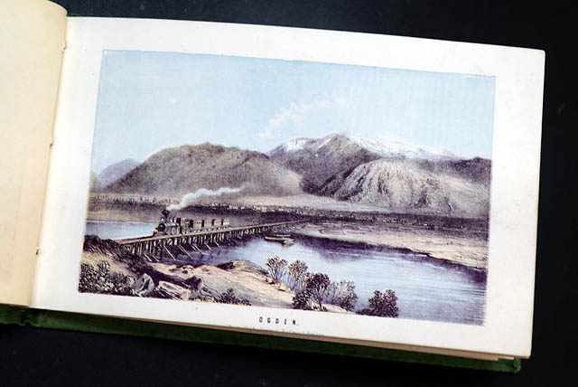
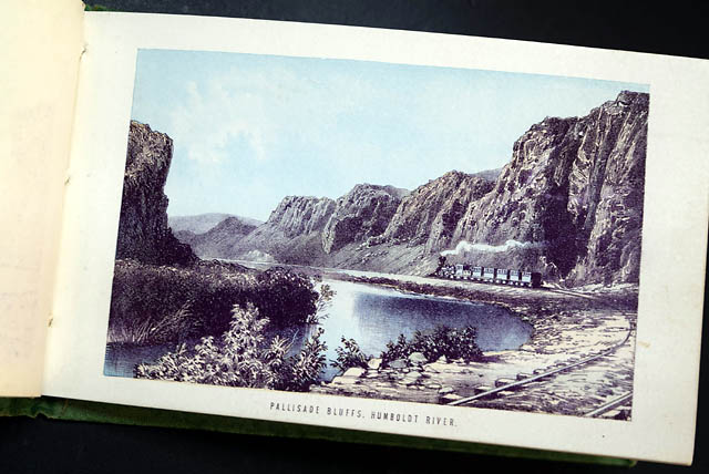
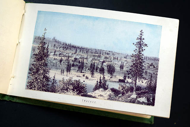
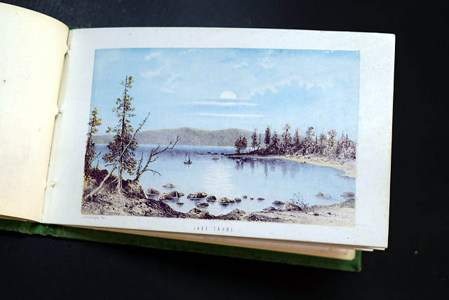
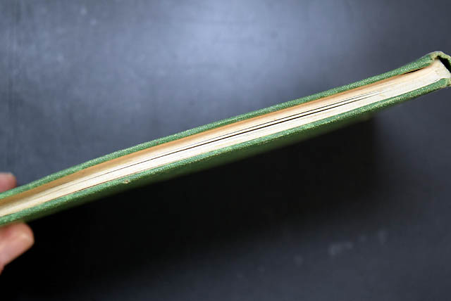
Central Pacific Railroad tourist's guide...
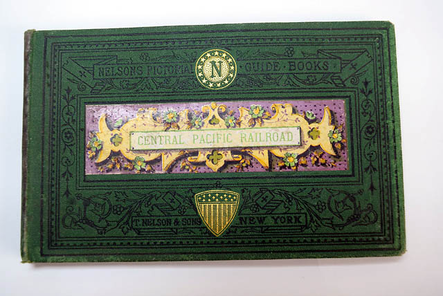
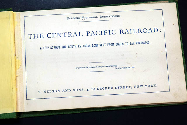
"CENTRAL PACIFIC RAILROAD" "Nelsons' Pictorial Guide-Books. The Central Pacific Railroad: A Trip Across the North American Continent from Ogden to San Francisco." New York: T. Nelson & Sons, [circa 1878–1881].
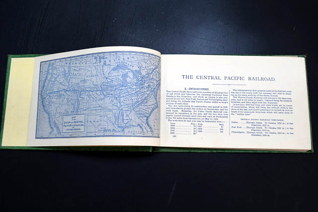
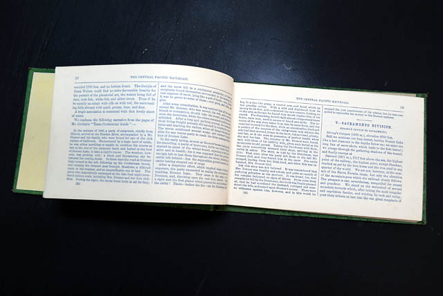
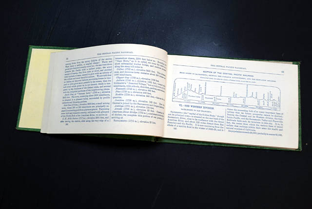
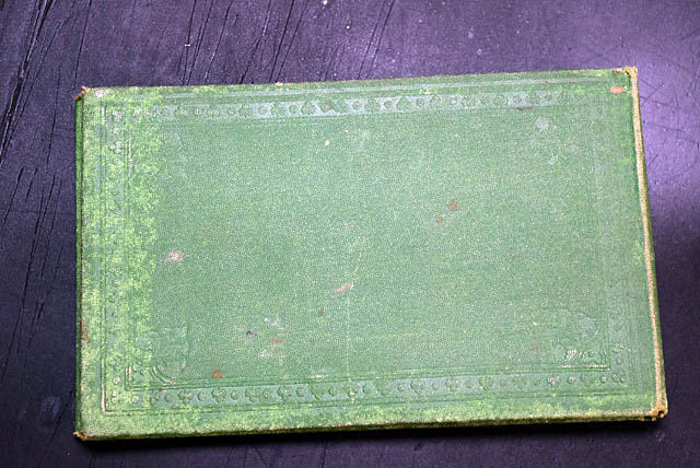
Oblong 16mo (approximately 4¼ x 7¼ inches). Original green pictorial cloth stamped in black and gilt on the front cover, all edges plain. 83 pages. Included is a blue-tinted route map and all 12 chromolithographic views, and numerous text illustrations.
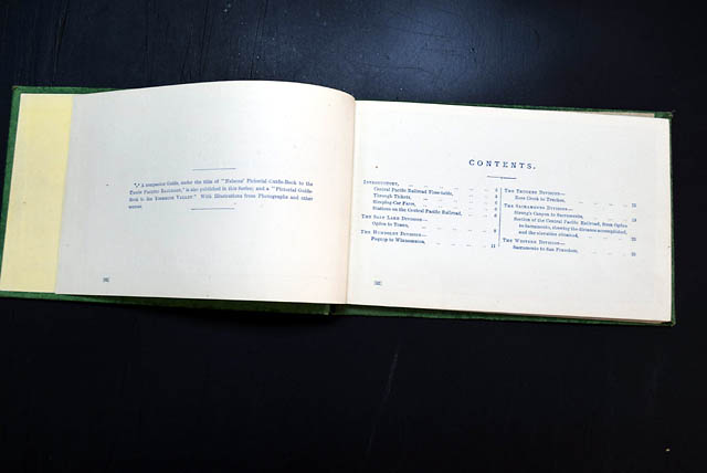
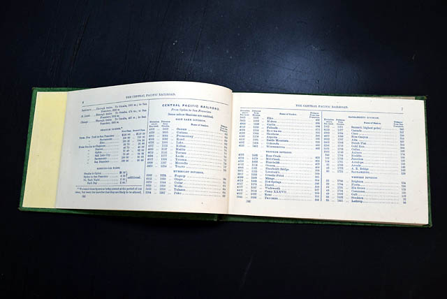
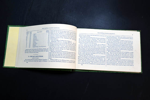
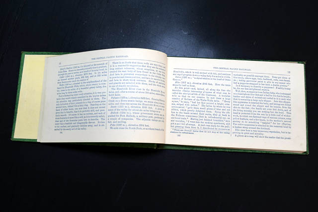
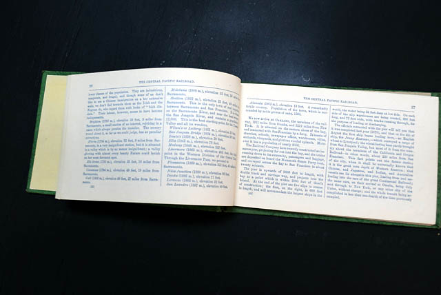
A remarkably well-preserved railroad guide issued only a few years after completion of the First Transcontinental Railroad. Beginning at Ogden, Utah, the guide accompanies travelers across the Central Pacific Railroad through Nevada and the Sierra Nevada before concluding in San Francisco. Included are contemporary descriptions of the route, railroad history, stations, fares, engineering works, and scenic landmarks encountered along one of the most celebrated rail journeys of the nineteenth century.
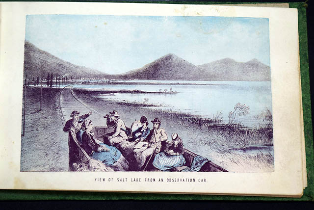
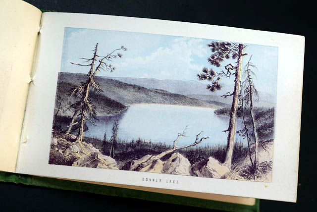
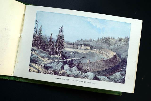
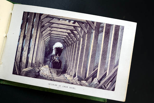
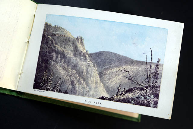
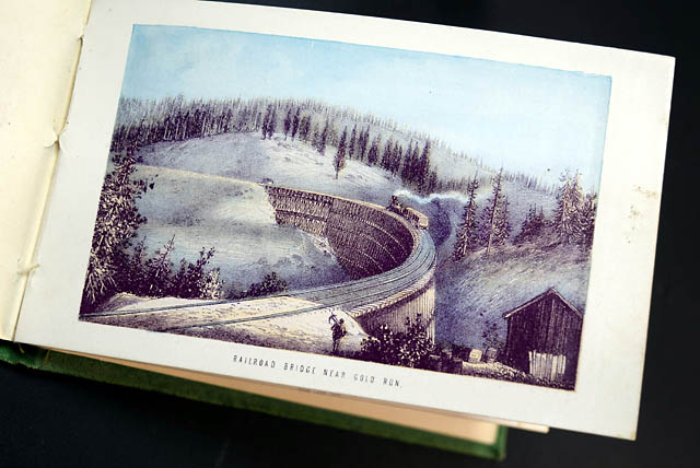
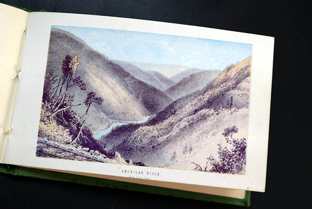
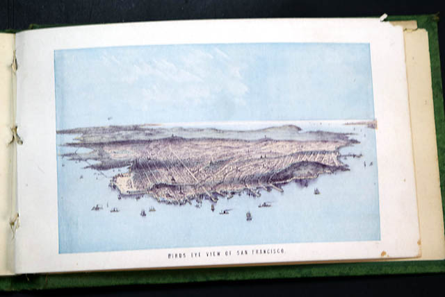
The handsome chromolithographic plates depict many of the iconic scenes that made the Central Pacific famous, including Great Salt Lake, Ogden, the Humboldt River Palisades, Truckee, Lake Tahoe, Donner Lake, Summit Station, the famous snow sheds, Cape Horn, the Gold Run bridge, the American River Canyon, and an exceptional bird's-eye view of San Francisco. The railroad map of the Union and Central Pacific system remains present, a feature frequently lacking in surviving copies.
Original cloth unusually bright with only light rubbing at extremities; binding sound and tight; interior exceptionally clean; all 12 chromolithographic plates complete and remarkably fresh with excellent color. An unusually attractive and well-preserved example of one of the finest illustrated railroad guidebooks produced during the early years of transcontinental rail travel.
Background: Issued shortly after the completion of the First Transcontinental Railroad, this guidebook stands out for its exceptional completeness and visual richness, rendering it a highly sought-after piece of early western Americana and railway history. Its most notable content lies in the inclusion of all twelve original chromolithographic plates, which capture iconic nineteenth-century landmarks along the route—ranging from the engineering feats of Cape Horn and Summit Station's snow sheds to scenic vistas like Donner Lake, Lake Tahoe, and an expansive bird's-eye view of San Francisco. What significantly elevates its rarity, however, is the presence of the original blue-tinted railroad system map alongside exceptionally preserved green pictorial cloth binding with bright gilt work; because these ephemeral guidebooks were carried as practical travel companions, surviving copies are frequently missing their foldable route maps or suffer from severe exterior wear, broken bindings, and foxed plates.
Other issues you may like
§ related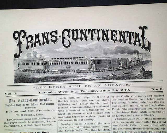
TRANS-CONTINENTAL, Laramie, Wyoming, June 28, 1870
- First Transcontinental Railroad "Overland Route"
- Very first excursion published newspaper (#9)
This is a
...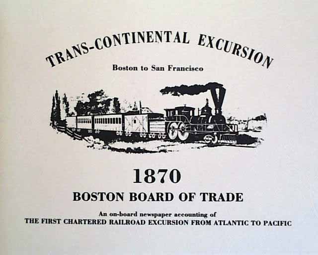
TRANS-CONTINENTAL -- a complete reprint collection of all 12 issues of this fascinating newspaper.
The newspaper titled "Trans-Continental" was a stroke of
TRANS-CONTINENTAL -- a complete reprint collection of all 12 issues of this fascinating newspaper.
The newspaper titled "Trans-Continental" was a stroke of
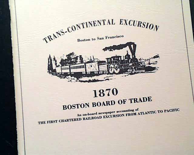
TRANS-CONTINENTAL -- a complete reprint collection of all 12 issues of this fascinating newspaper.
The newspaper titled "Trans-Continental" was a stroke of