


Great map showing North America... On taxing America without their consent...
THE GENTLEMAN'S MAGAZINE, London, April, 1776
- American Revolutionary War era map
- Shows North America and more
- Pre-Declaration of Independence
The prime feature is the great map showing all of the western hemisphere titled: "A New Projection of the Western Hemisphere of the Earth on a Plane shewing the proportions of its several parts nearly as on a Globe, By J. Hardy, at Eton College."
The map is dated at the bottom: "by F. Newbery, Ludgate Street, May 1, 1776". It measures 9 by 11 1/4 inches, in very nice, clean condition. There is a related article within this issue concerning the map.
The issue begins with some lengthy: "Debates in the Present Parliament" continued from a previous issue, with much discussion concerning the situation in America. Near the beginning is: "...the following measures before they were proposed in Parliament; vis. For taxing America without the consent of its Assemblies for the purpose of a revenue...For taking away the charter of the province of Massachusetts Bay. For restraining the American fishery. For exempting murderers from trial in America..." with more. References to America carry over to 2 more pages.
The mentioned map is the only plate called for.
Complete in 48 pages, full title/contents page featuring an engraving of St. John's Gate, 5 by 8 1/4 inches, great condition.
Background: This April 1776 issue of The Gentleman’s Magazine (Vol. 46) is a scarce and historically significant American Revolutionary War-era artifact, highly sought after by cartography collectors due to its rare inclusion of Joseph Hardy’s original fold-out map. Published in London by Francis Newbery just two months before the American Declaration of Independence, the issue provided British readers with a cutting-edge visual guide to the Western Hemisphere at the precise moment the American colonies were breaking away from the Crown. Hardy, a teacher at Eton College, designed this novel projection—accompanied by a dedicated explanatory essay in the text—specifically to correct the extreme peripheral distortion common to 18th-century flat maps, offering equal-area landmass proportions to better mirror a physical globe. Because mid-18th-century magazine maps were frequently removed over the centuries for framing or individual sale, finding this issue complete with its original 9 by 11¼ inch Hardy map intact, clean, and in well-preserved condition makes it a remarkably rare survival from a pivotal turning point in transatlantic history.
Other issues you may like
§ related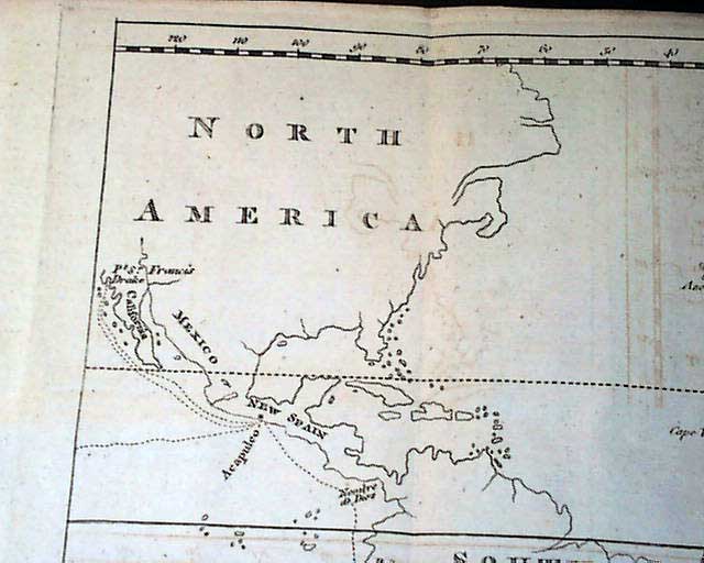
THE GENTLEMAN'S MAGAZINE, London, December, 1773
- Captain James Cook
- North America map
Certainly the prime feature of this issue is the nice foldout map that
...
GENTLEMAN'S MAGAZINE, London, January, 1778
- Rare Revolutionary War New York map
- Benjamin Franklin letter - Ethan Allen
Of great significance is the very
...
GENTLEMAN'S MAGAZINE, London, March, 1790
- Map of Canada, Hudson Bay & other portions of North America
Certainly the prime feature of this issue is the nice,
...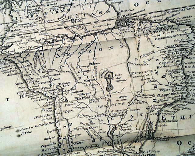
THE GENTLEMAN'S MAGAZINE, London, January, 1749 The prime feature of this issue is the very nice & detailed foldout map of "South America" which folds out
...