


Oswego during the French & Indian War, with maps...
THE GENTLEMAN'S MAGAZINE, London, February, 1757
- Forts Oswego and Ontario
- French and Indian war with map
Among the inside pages is a quite lengthy & detailed article titled: "An Historical Account of American Affairs during the Two last years, with a particular journal of the Siege & Surrender of Oswego" with this text taking over six pages. This text also includes a report headed "Account of the Surrender of Fort Granville" & "Col. Armstrong's Success against Kittanning".
Included as well is a very nice half page map headed: "Plan of the Forts Ontario and Oswego with Part of the River Onondago and Lake Ontario", including a key to the noted points on the map.
The full page plate is present, but the other map called for is lacking.
Complete in 48 pages, 5 1/4 by 8 1/4 inches, full title/contents page with an engraving of St. John's Gate, very nice condition.
Background: This issue of The Gentleman’s Magazine (February 1757) is a particularly significant mid-18th-century artifact, highly prized by colonial American history collectors and cartography enthusiasts for its comprehensive primary-source coverage of pivotal Seven Years' War (French and Indian War) operations. Beyond serving as a contemporary British window into the North American frontier, its notable value lies in the rare six-page firsthand dossier containing the detailed siege account of General Montcalm’s destruction of Fort Oswego—a disastrous loss that eliminated Britain's presence on Lake Ontario—alongside scarce battle reports on the fall of Fort Granville and Colonel John Armstrong’s famous reprisal raid against the Delaware village at Kittanning. What elevates this issue into a scarce collectible is the inclusion of the intact, original copperplate-engraved half-page map titled "Plan of the Forts Ontario and Oswego with Part of the River Onondago and Lake Ontario"; because these detailed architectural and topographical maps were frequently trimmed, removed, or framed separately over the last two centuries, finding a complete issue with its original map foldout preserved in context makes it a rare and historically vital survivor of pre-Revolutionary colonial printing.
Other issues you may like
§ related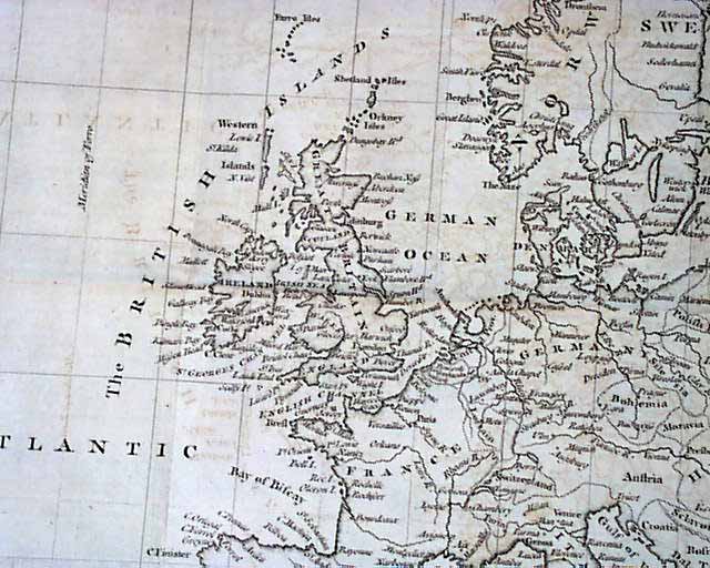
THE GENTLEMAN'S MAGAZINE, London, October, 1756
- Great & quite large map of Europe
- Oswego - French & Indian War
- Judaica - Jewish content
The prime feature
...
THE LONDON MAGAZINE, England, January, 1757 This title is less common than the popular "Gentleman's Magazine", and contains a wonderful, very ornate
...
THE GENTLEMAN'S MAGAZINE, London, October, 1756 Under the heading: "American News" is a report which includes: "...concerning Oswego still continue to be
...
THE GENTLEMAN'S MAGAZINE, London, December, 1755 This issue has an interesting variety of articles from during the French & Indian War in America, among
...