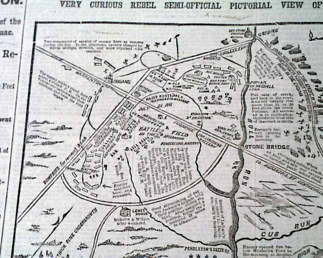
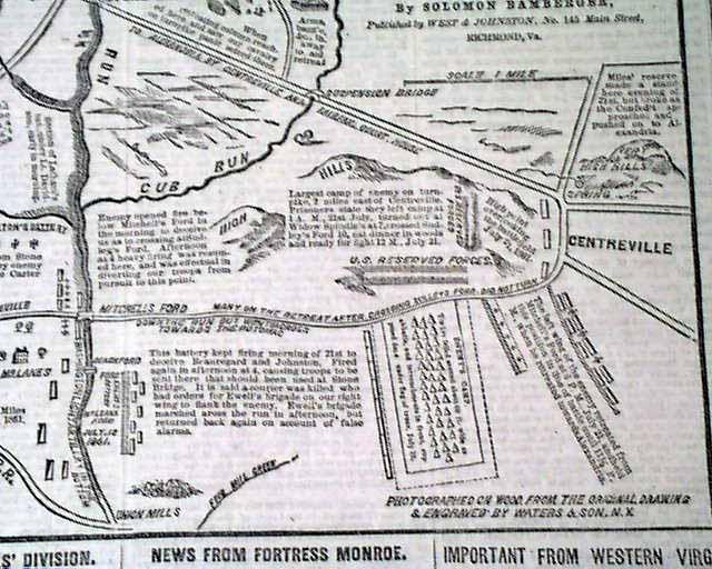
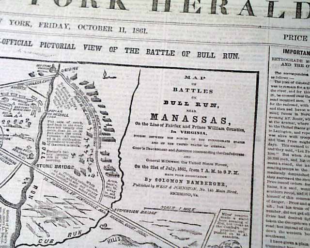
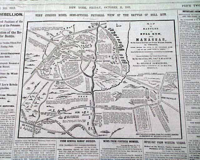
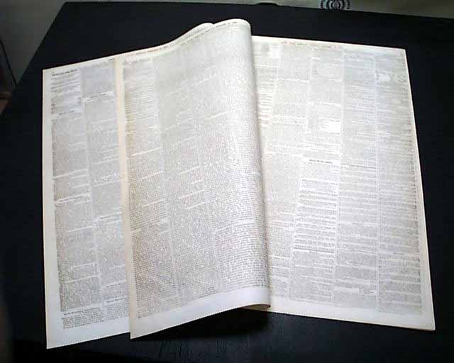
Rebel map on the Battle of Bull Run...
NEW YORK HERALD, Oct. 11, 1861
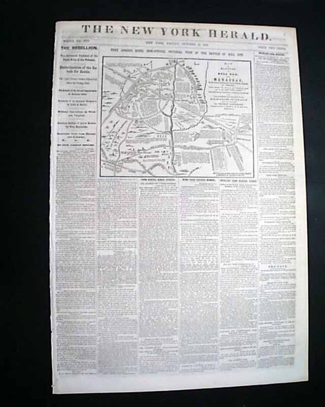
- Detailed battle of Bull Run map (official, after the fact)
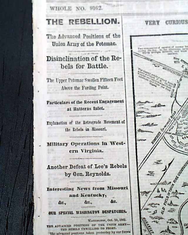
The front page features a great & very detailed map headed: "Very Curious Rebel Semi-Official Pictorial View of the Battle of Bull Run".
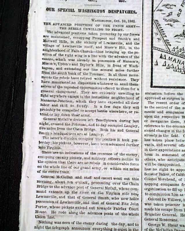
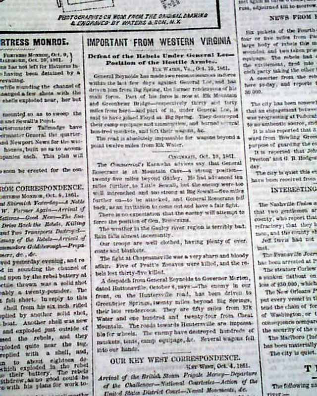
Among the many first column heads are: "THE REBELLION" "The Advanced Positions of the Union Army of the Potomac" "Disinclination of the Rebels for Battle" "Particulars of the Recent Engagement at Hatteras Inlet" "Military Operations in Western Virginia" "Another Defeat of Lee's Rebels by Gen. Reynolds" and more.
Eight pages, very nice condition.
Background: The publication of this captured Confederate map on the front page of a major Northern newspaper underscores a pivotal shift in both the psychological warfare and mass media consumption of the early Civil War. Coming just months after the humiliating Union rout at the First Battle of Bull Run, the reproduction of this "Semi-Official" Southern illustration served as a powerful intelligence coup that reassured a anxious Northern public of the Union military's growing capability to intercept and exploit enemy materials. Furthermore, by transforming a piece of raw military cartography into a widely distributed visual narrative, the New York Herald tapped into an unprecedented public appetite for battlefield literacy, allowing citizens on the home front to visually dissect the terrain and tactical decisions of a loss that was still a raw national wound. This event marked a crucial evolution in how wartime journalism operated, proving that captured enemy perspective could be weaponized as a tool for public morale and domestic engagement in a newly visual era of conflict.
Other issues you may like
§ related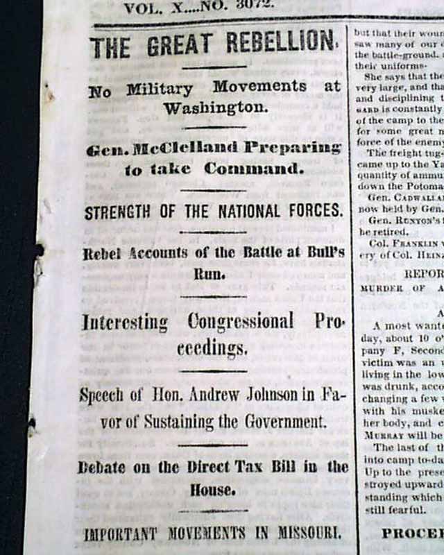
NEW YORK TEIMES, July 28, 1861
- First Battle of Bull Run Manassas aftermath
- Confederate account of the first major battle
Among the front page column heads
...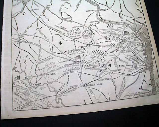
NEW YORK HERALD, Sept. 12, 1861
- Rare full front page map
- Battle of Carnifex Ferry
The entire front page is taken up with a huge and very detailed map headed:
...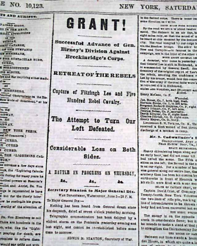
NEW YORK HERALD, June 4, 1864
- Battle of Cold Harbor
- Overland Campaign
Among the front page column Civil War heads are: "GRANT ! " "Successful Advance of Gen.
...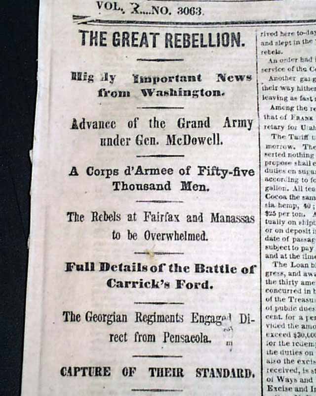
THE NEW YORK TIMES, July 17, 1861 The front page has great coverage on the days just before the historic Battle of Bull Run, with first column heads: "THE
...