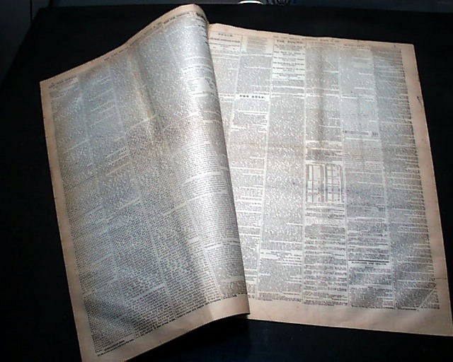
Large & displayable Civil War map...
NEW YORK HERALD, March 15, 1865
- Confederates falling apart
- Nearing the end of war
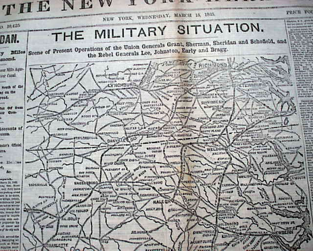
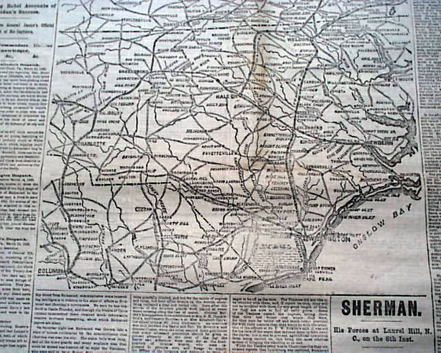
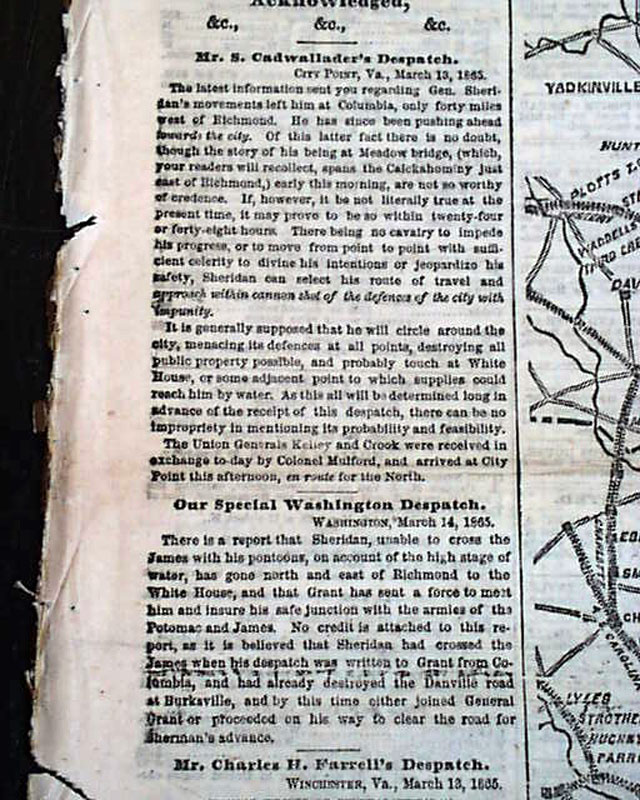
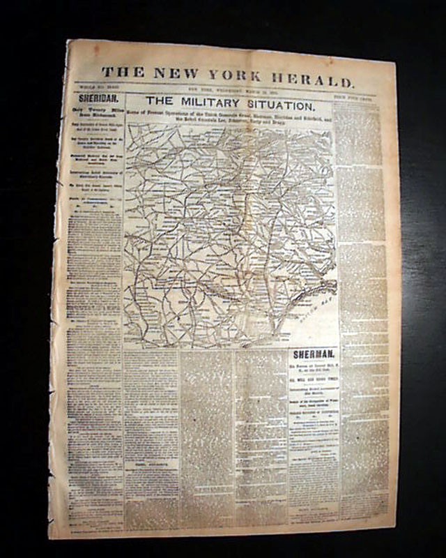
The front page features a huge & extremely detailed Civil War map headed: "THE MILITARY SITUATION. Scene of Present Operations of the Union Generals Grant, Sherman, Sheridan, and Schofield & the Rebels Generals Lee, Johnston, Early and Bragg." The map shows from Lynchburg to Wilmington, N. Carolina; to Columbia, Georgia; to Petersburg, Va.
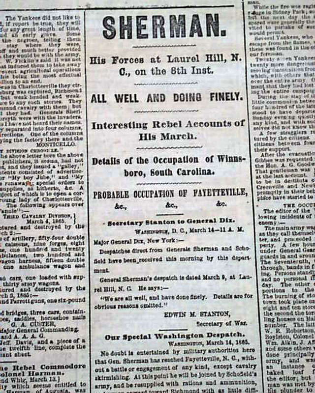
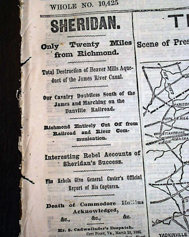
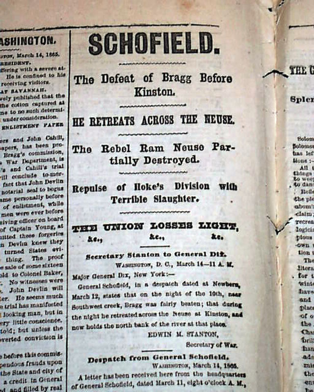
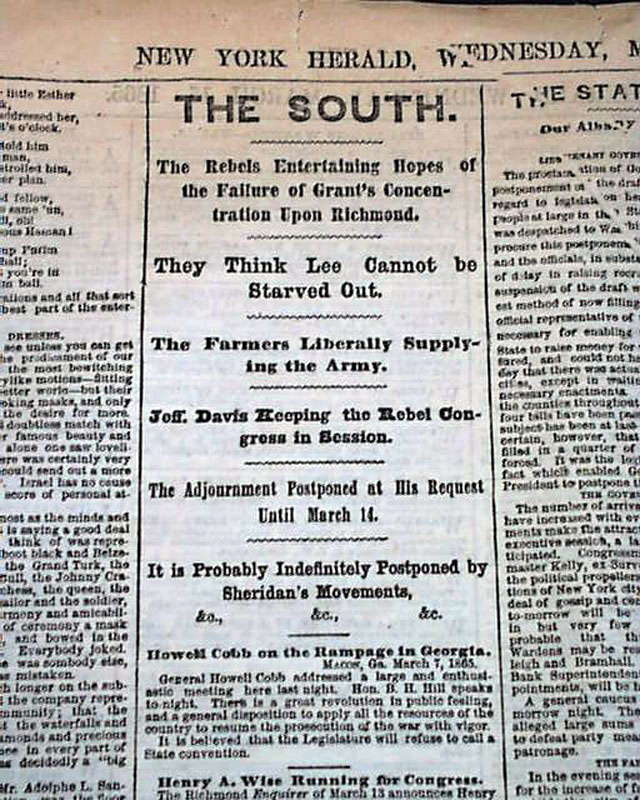
Among the front page heads are: "SHERMAN" "His Forces at Laurel Hill, N.C." "All Well & Doing Finely" "Details of the Occupation of Winnsboro, South Carolina" "Probable Occupation of Fayetteville" "SHERIDAN" "Interesting Rebels Accounts of Sheridan's Success" & more. War reports on the inside as well.
Eight pages, good condition.
background: In March 1865, General William T. Sherman’s coastal march through the Carolinas marked a decisive and destructive phase of his campaign to cripple the Confederacy’s remaining resources and morale. After capturing Columbia, South Carolina in February, Sherman’s forces pushed eastward and northward, systematically destroying railroads, factories, and plantations to deny the Confederate army any means of resupply. Moving along the coastal plain, his troops crossed rivers such as the Edisto and Ashley, facing sporadic resistance but steadily advancing toward North Carolina. This march was characterized by Sherman’s ruthless “scorched earth” tactics, leaving a path of devastation that weakened the South’s capacity to fight. The campaign’s culmination in the Carolinas not only disrupted Confederate communication and supply lines but also paved the way for Sherman’s eventual junction with Union forces under General Grant in Virginia, hastening the Confederacy’s collapse just weeks before the war’s end.
Other issues you may like
§ related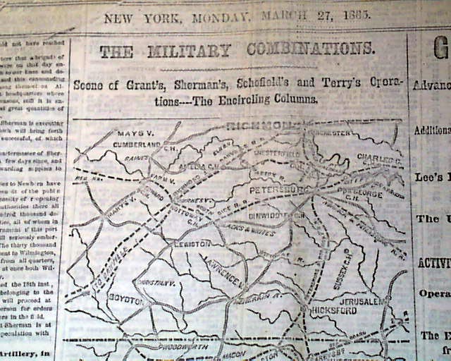
NEW YORK HERALD, March 27, 1865
- Final days of the Civil War
- Battle of Fort Stedman
- William T. Sherman
The front page features a detailed Civil War map titled:
...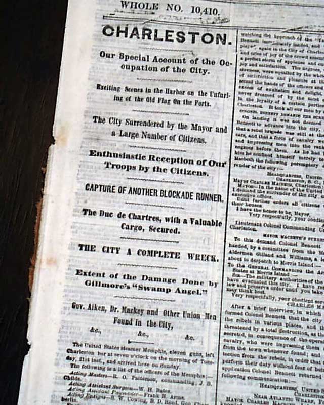
NEW YORK HERALD, Feb. 28, 1865
- General William T. Sherman
- Onward march in the South
- Final months of the Civil War
Among the front page column heads on the
...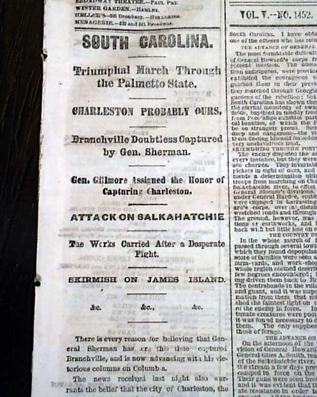
THE WORLD, New York, Feb. 16, 1865
- General William T. Sherman
- Marching & capturing coastal towns
- Orangeburg, South Carolina capture
- Final weeks of the American
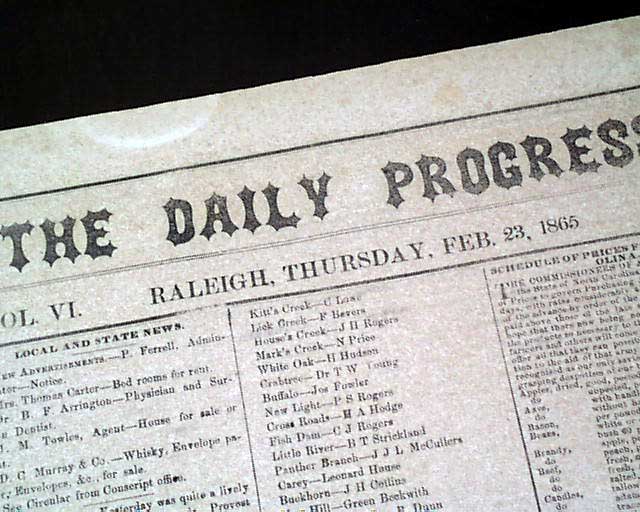
THE DAILY PROGRESS, Raleigh, North Carolina, Feb. 23, 1865
- Rare Confederate title
- Civil War nears the end
- Sherman's victory march
Raleigh was one of the last
...