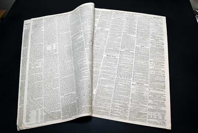
Maps showing Cape Hatteras...
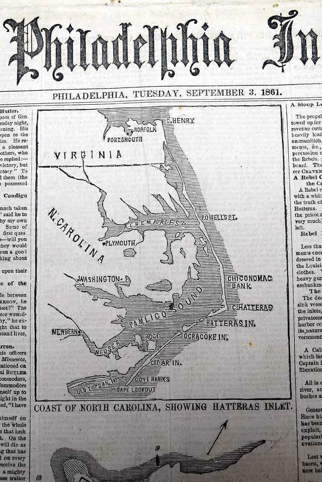
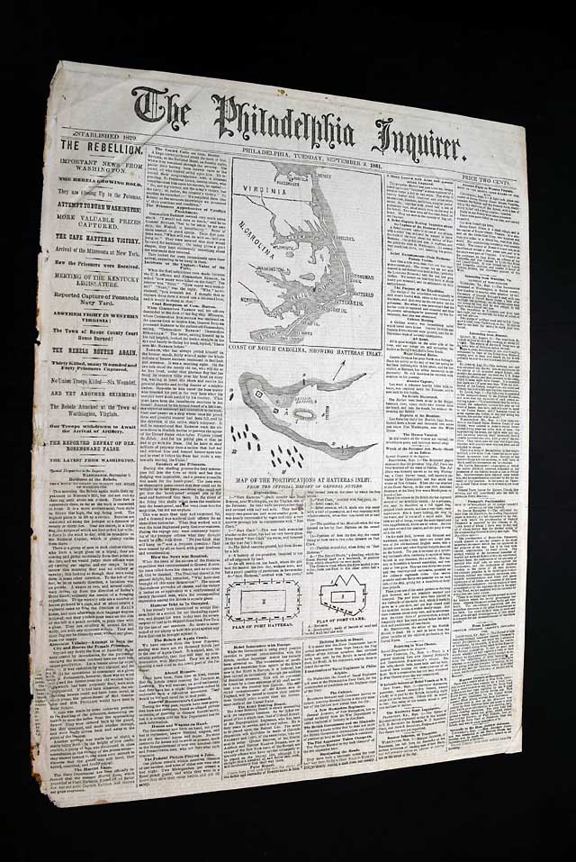
THE PHILADELPHIA INQUIRER, Sept. 3, 1861 The front page includes some nice graphics including a map captioned: "Coast of North Carolina, Showing Hatteras Inlet" showing from Norfolk, Virginia, to Cape Lookout, N.C.
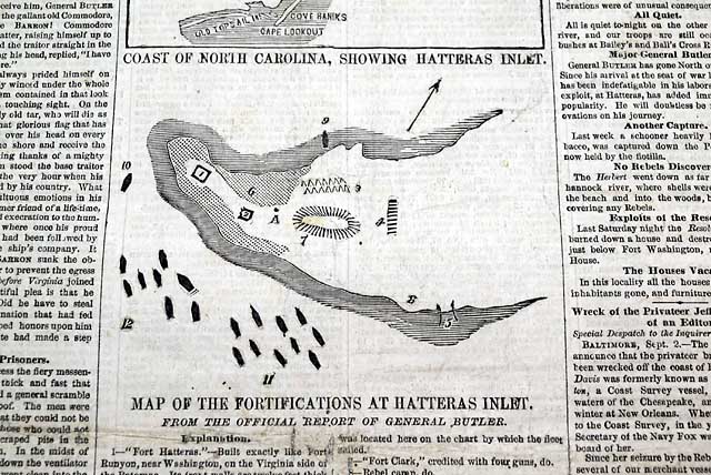
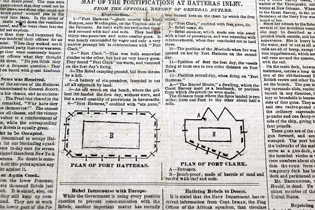
Also a: "Map of the Fortifications at Hatteras Inlet" and two small diagrams labeled: "Plan of Fort Hatteras" and "Plan of Fort Clark".
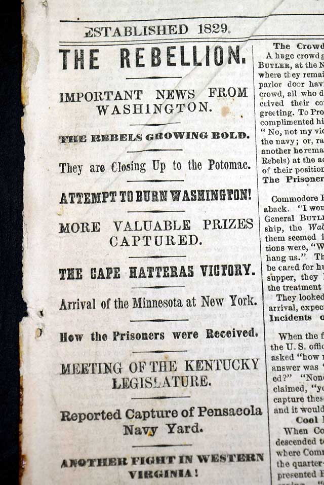
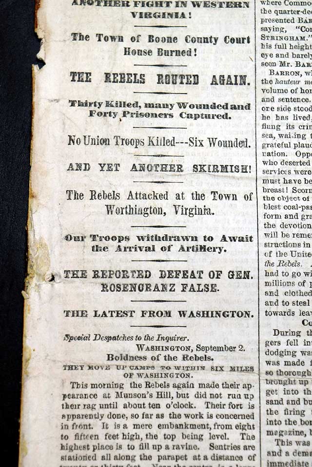
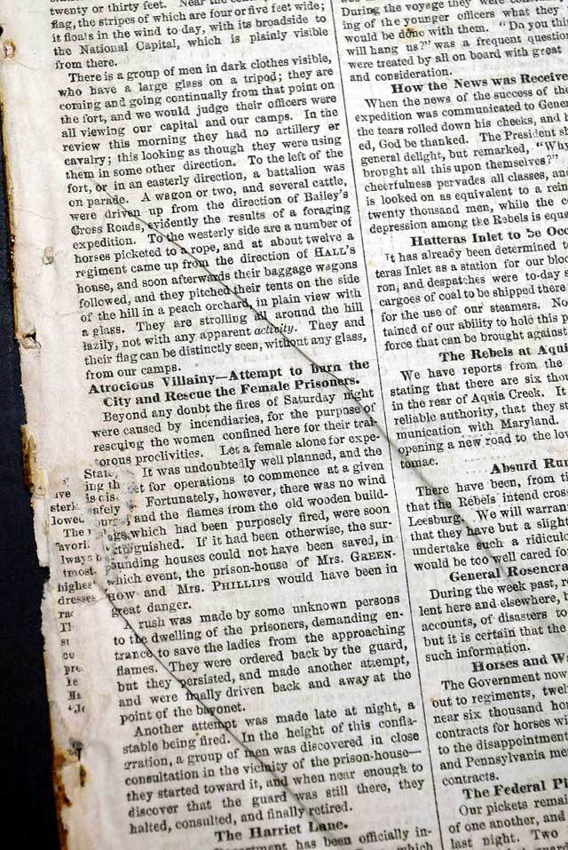
The first column is a great stack of Civil War heads trading over half the column.
Eight pages, irregular at the spine with a minimal loss of text, otherwise in good condition.
Item from our most recent catalog - #371 - released for October, 2026
Other issues you may like
§ related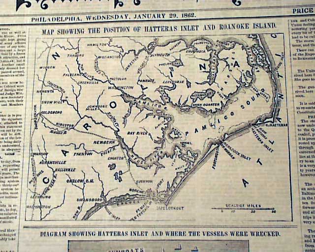
PHILADELPHIA INQUIRER, Jan. 29, 1862 The front page has two Civil War maps, one: "Showing the Position of Hatteras Inlet and Roanoke Island" and the other
...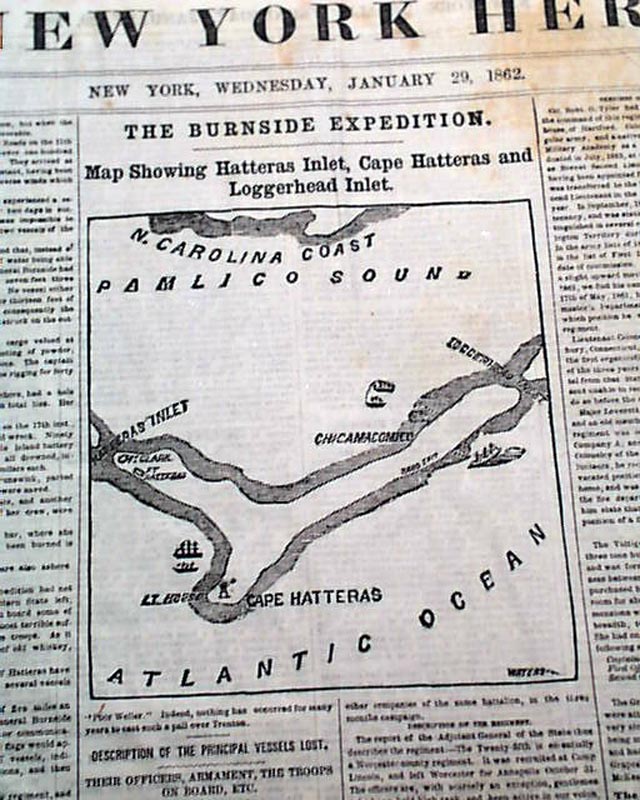
NEW YORK HERALD, Jan. 29, 1862
- General Ambrose Burnside
- North Carolina expedition
- Cape Hatteras map
The front page features a nice Civil War map headed: "The
...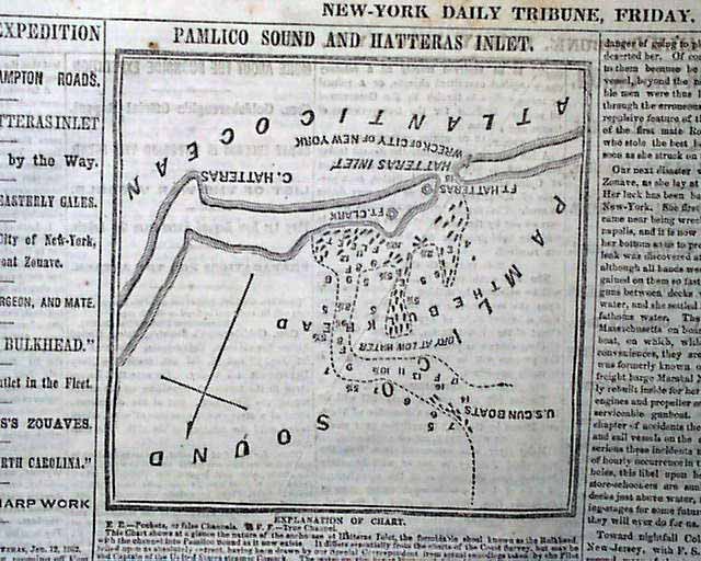
NEW YORK DAILY TRIBUNE, January 31, 1862 This issue is filled with advertisements and Civil War reports throughout from the day it was first reported which
...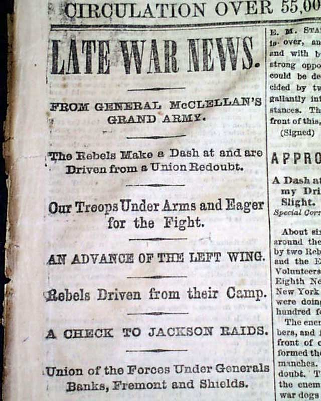
THE PHILADELPHIA INQUIRER, June 26, 1862 The back page features a very nice: "Map Showing the New Route to New York, and its Connections" showing the
...