Two Civil War maps, one taking over half of the front page...
Item # 693861
·
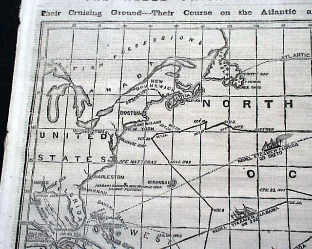
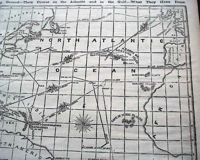
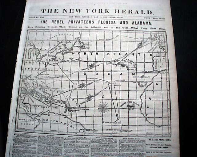
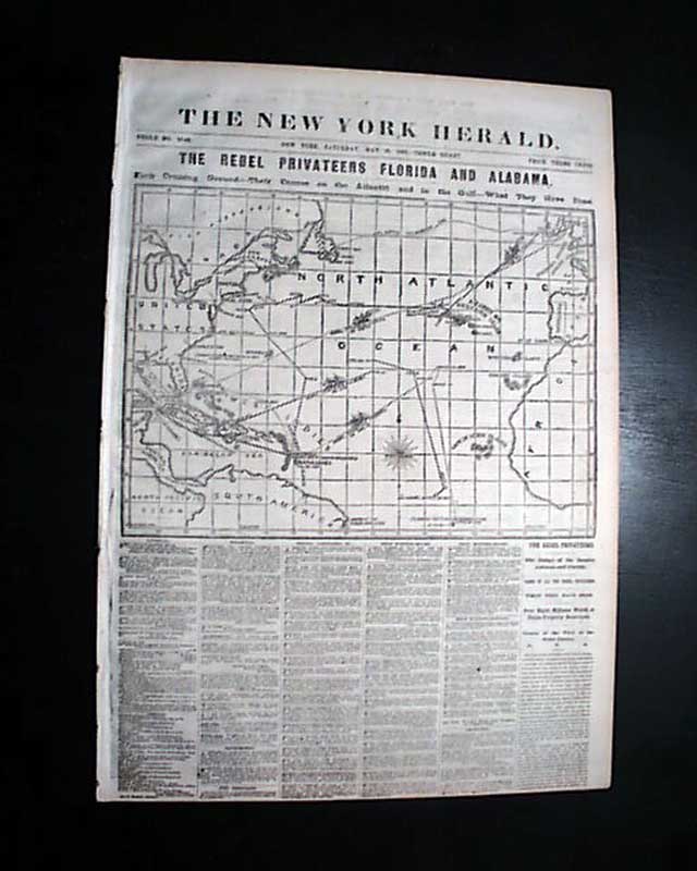
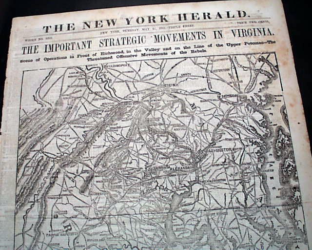
NEW YORK HERALD, May 16, 1863 Over half of the front page is taken up with a huge map headed: "THE REBEL PRIVATEERS FLORIDA AND ALABAMA. Their Cruising Ground--Their Course on the Atlantic and in the Gulf--What They Have Done."
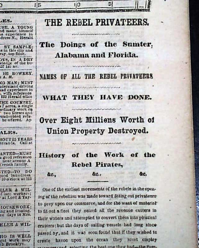
Front page column has include: "The Rebel Privateers" "The Doings of the Sumter, Alabama and Florida" "Over Eight Millions Worth of Union Property Destroyed" & more.
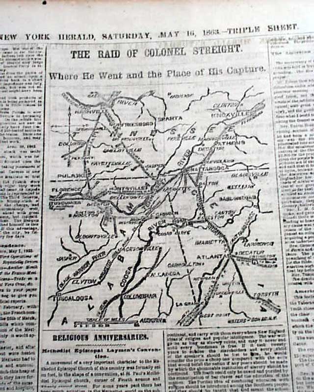
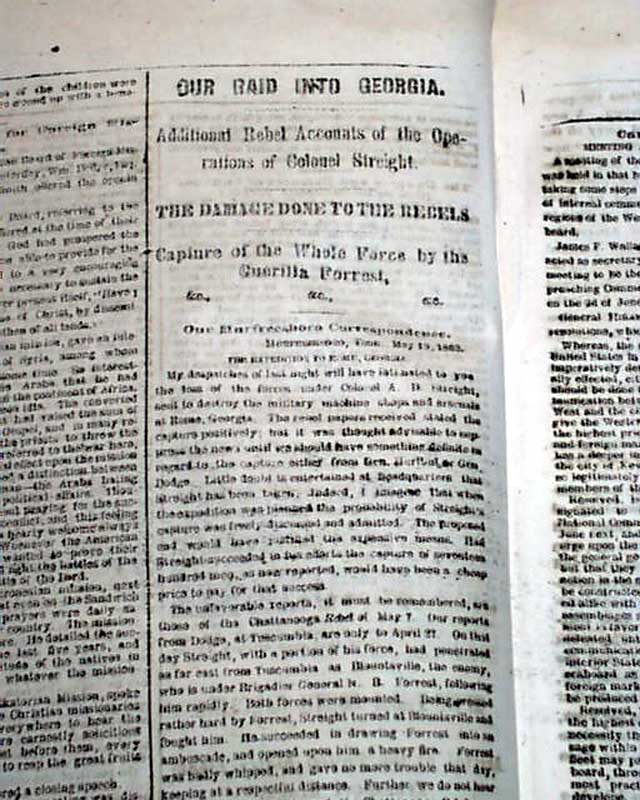
Page 4 also has a Civil War map: "The Raid Of Colonel Streight. Where He Went & the Place of His Capture". Much war reporting on pages 3 and 4.
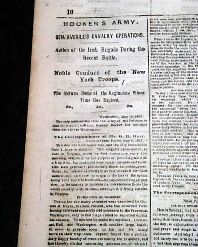
Twelve pages, very nice condition.
Front page column has include: "The Rebel Privateers" "The Doings of the Sumter, Alabama and Florida" "Over Eight Millions Worth of Union Property Destroyed" & more.
Page 4 also has a Civil War map: "The Raid Of Colonel Streight. Where He Went & the Place of His Capture". Much war reporting on pages 3 and 4.
Twelve pages, very nice condition.
Categories: The Civil War, Yankee
Price
$73.00
100% Authentic: Original printing, never a reproduction.
Other issues you may like
§ related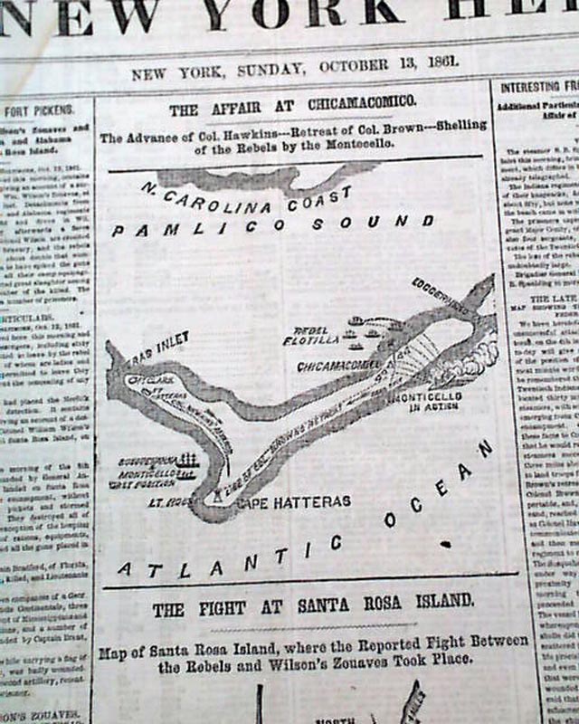
Two front page Civil War maps...
NEW YORK HERALD, Oct. 13, 1861 The front page has two maps titled: "THE AFFAIR AT CHICAMACOMICO" and "THE FIGHT AT SANTA ROSA ISLAND" which is in Florida...
Oct 1861
$48.00
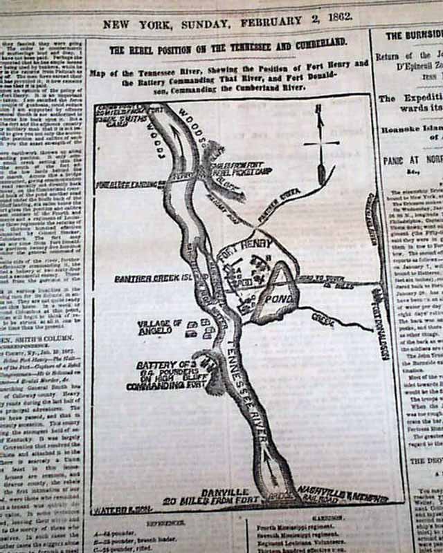
Front page Civil War map...
NEW YORK HERALD, Feb. 2, 1862 The front page features a nice map headed: "The Rebel Position On The Tennessee and Cumberland." with further details.
There...
There...
Feb 1862
$48.00
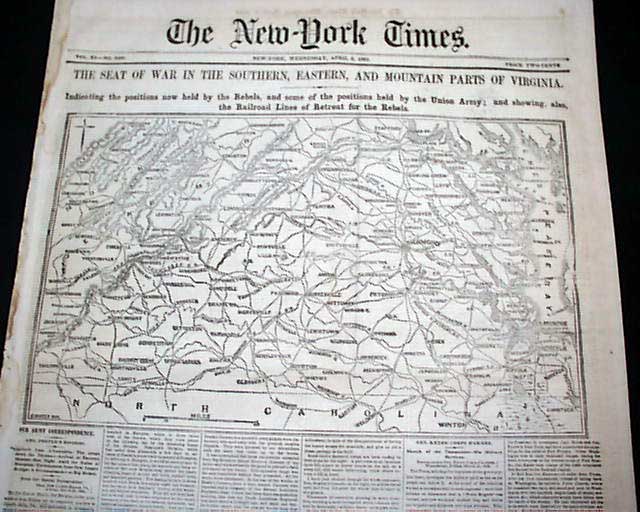
Huge display map on the front page, another on the back page...
NEW YORK TIMES, April 9, 1862 Fully half of the front page is taken up with a huge map with a banner head and subhead: "THE SEAT OF WAR IN THE SOUTHERN,...
Apr 1862
$40.00
Civil War map takes up the entire front page...
NEW YORK HERALD, May 27, 1862
* Rare full page Civil War map & more
* Peninsula campaign - George McClellan
The entire front page is taken up with a...
* Rare full page Civil War map & more
* Peninsula campaign - George McClellan
The entire front page is taken up with a...
May 1862
$137.00