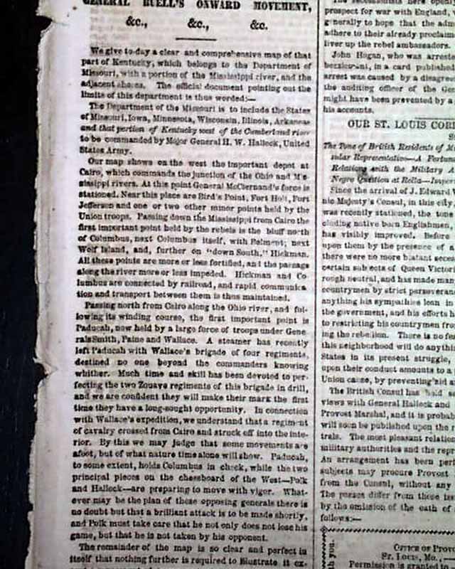
Civil War map of Western Kentucky...
Item # 621908
·
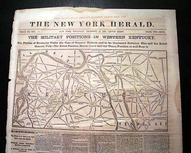
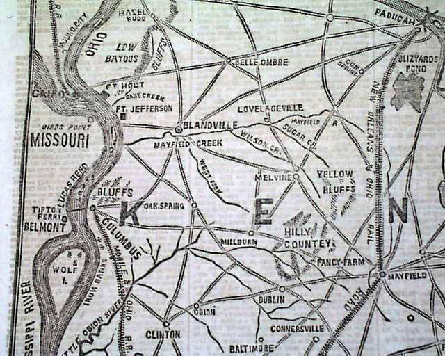
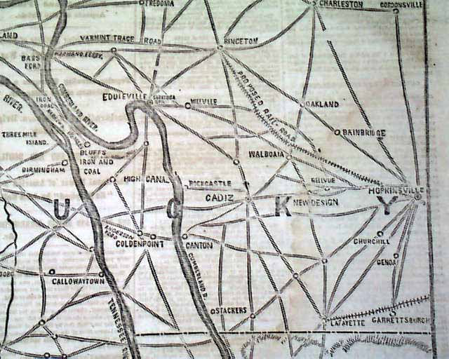
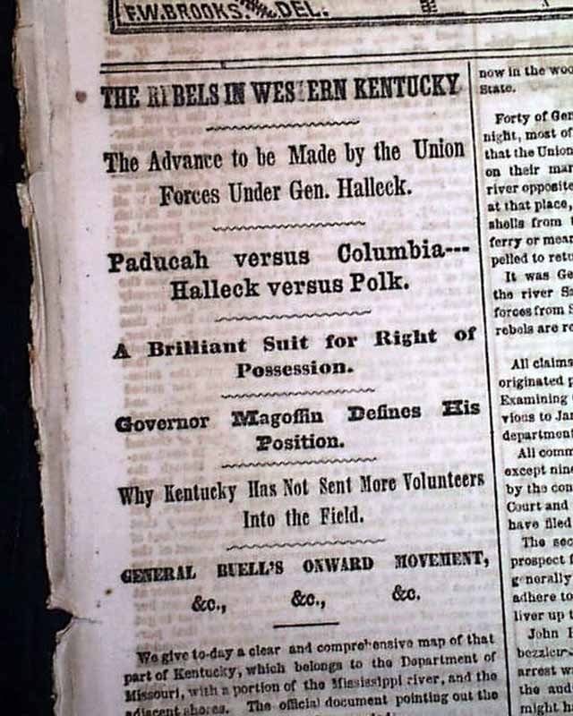
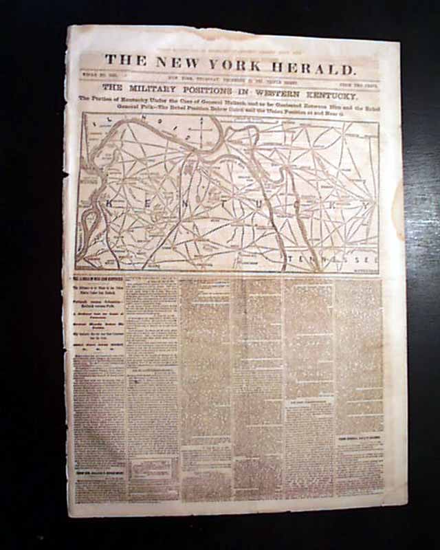
NEW YORK HERALD, Dec. 19, 1861 Present are the outer leaves only but still a displayable issue as nearly half of of the front page is taken up with a large & very detailed Civil War map headed: "THE MILITARY POSITIONS IN WESTERN KENTUCKY." First column war headlines as well (see).
Present are pages 1, 2, 11 & 12, small piece from the top of the back leaf, some foxing at margins.
Present are pages 1, 2, 11 & 12, small piece from the top of the back leaf, some foxing at margins.
Category: Yankee
Price
$27
100% Authentic: Original printing, never a reproduction.
Other issues you may like
§ related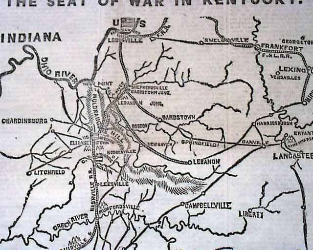
Map shows the seat of war in Kentucky...
NEW YORK HERALD, Oct. 6, 1861 The front page is dominated by a nice map headed: "THE SEAT OF WAR IN KENTUCKY". Among the ftpg. column heads on the Civil...
Oct 1861
$42
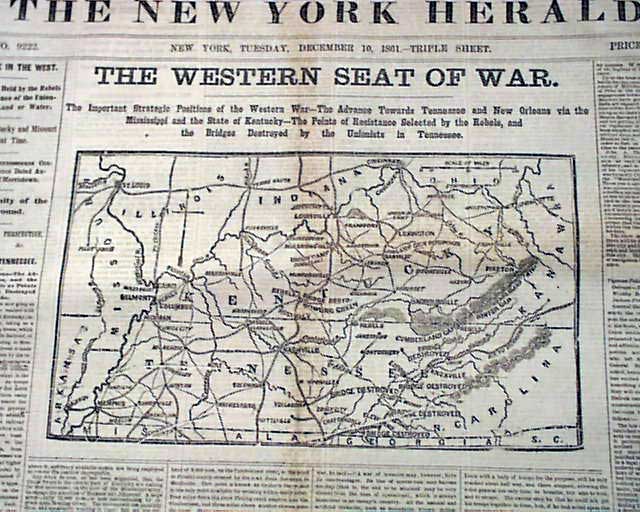
The Civil War in the West, with a map...
NEW YORK HERALD, Dec. 10, 1861
* Midwestern Civil War map
The front page features a nice & detailed Civil War map with a large heading: "THE WESTERN...
* Midwestern Civil War map
The front page features a nice & detailed Civil War map with a large heading: "THE WESTERN...
Dec 1861
$47
Civil War map of the war in Kentucky & Tennessee...
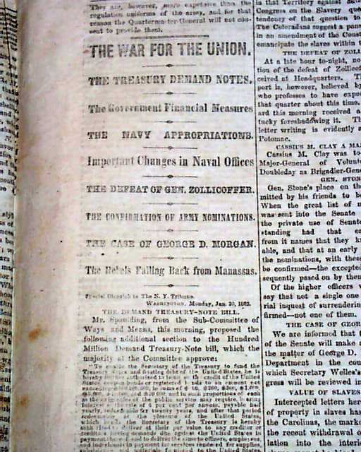
NEW YORK TRIBUNE, Jan. 21, 1862 With the front page taken up with ads, the feature is the back page war map headed: "THE WAR IN KENTUCKY & TENNESSEE" with...
Jan 1862
$28

Civil War map...
THE NEW YORK HERALD, January 9, 1862 This 8 page newspaper is in good condition (except for minor spine wear). This issue is loaded with advertisements and...
Jan 1862
$19.50