
Turkistan map...
Item # 539028
·
The Illustrated London News, London, dated March 15, 1873 (print only)
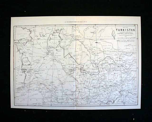
This is a print only entitled "Map of Turkistan comprising the countries between the Caspian and British India, compiled by E.G. Ravenstein, F.R.G.S."
The map size is approximately 22 x 15.5 inches.
This is a print only entitled "Map of Turkistan comprising the countries between the Caspian and British India, compiled by E.G. Ravenstein, F.R.G.S."
The map size is approximately 22 x 15.5 inches.
Category: Displayable Issues
Price
$18
100% Authentic: Original printing, never a reproduction.
Other issues you may like
§ related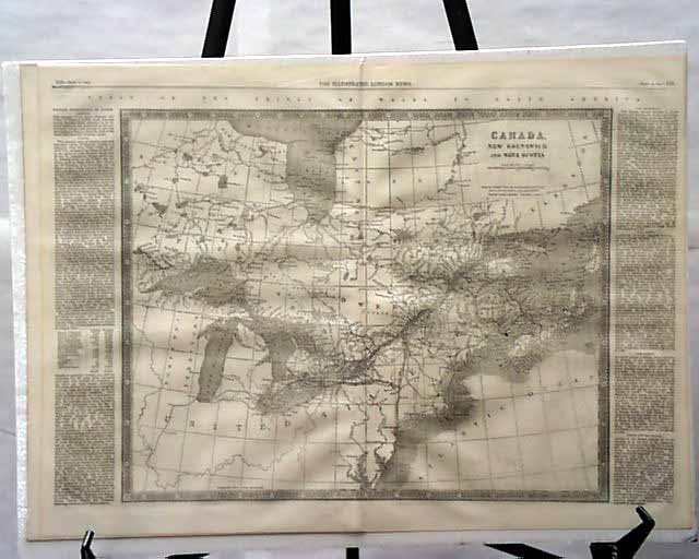
The Illustrated London News, London, dated September 15, 1860 (print only)
This is a print only entitled "Canada, New Brunswick and Nova Scotia."
The...
This is a print only entitled "Canada, New Brunswick and Nova Scotia."
The...
Sep 1860
$18
THE ILLUSTRATED LONDON NEWS dated April 5, 1873 (print only)
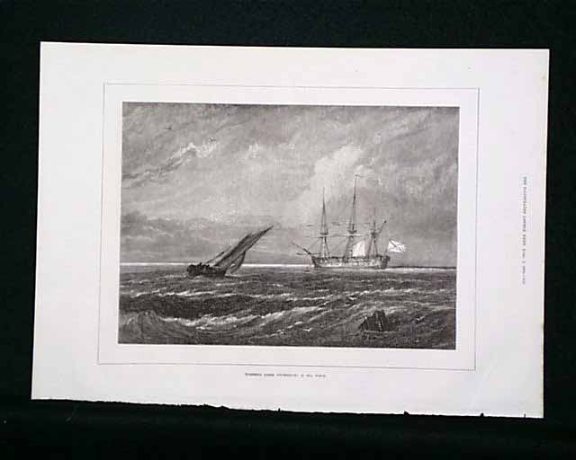
This is a single-page print. The page contains an engraving entitled "Turner's Liber...
This is a single-page print. The page contains an engraving entitled "Turner's Liber...
Apr 1873
$16
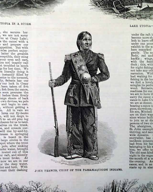
Railway... Indian John Francis...
THE ILLUSTRATED LONDON NEWS, London, England, September 5, 1863 The front cover features a halfpage illustration "Burning of the Old Seraglio,...
Sep 1863
$42
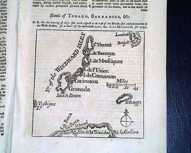
Map of Barbados, Tobago & more...
THE LONDON MAGAZINE, England, April, 1749 Perhaps the best feature of this issue is the great title page engraving of the skyline of London from the...
$58