Home > Back to Search Results >
Great map of Germany... Content on the French & Indian War...

Great map of Germany... Content on the French & Indian War...
Item # 640092
Currently Unavailable. Contact us if you would like to be placed on a want list or to be notified if a similar item is available.
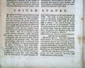
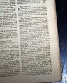
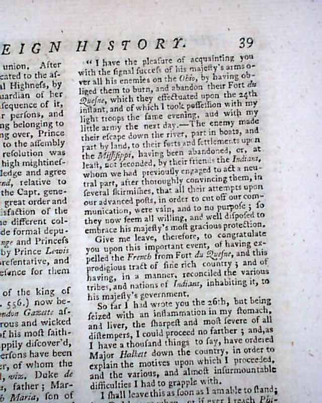
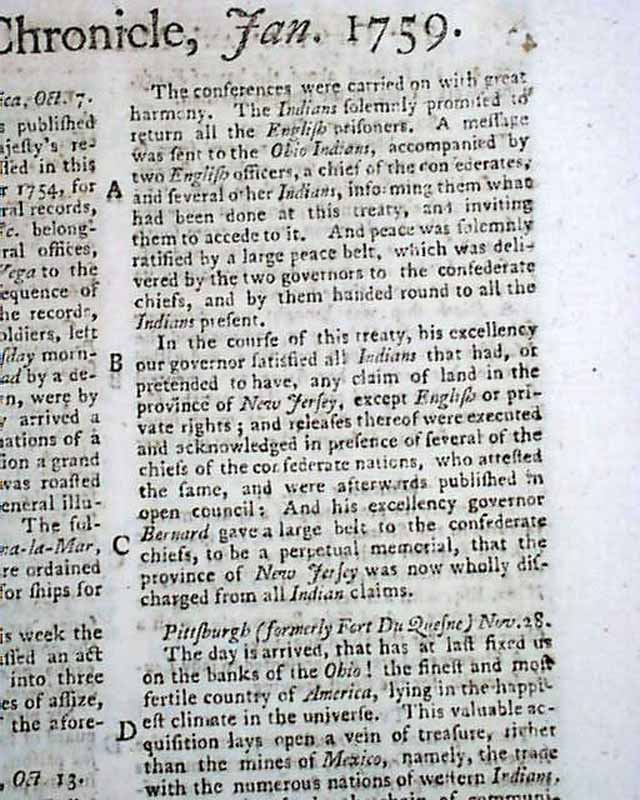
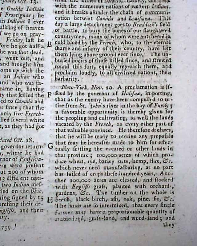
THE GENTLEMAN'S MAGAZINE, London, January, 1759 Near the back is nearly a full page of reports concerning the French & Indian War, including a "Letter from Oneida Carrying Place" which begins: "The grand sachem of the Oneida Indians was with us at the taking of Frontignac; he was one of the most Christian Indians I ever saw, constantly at prayers...before he got half a mile from our encampment he was shot dead..." plus a "Letter from New Jersey" with some text regarding the Indians, plus a letter from "Pittsburgh (formerly Fort du Quesne), Nov. 28" which includes: "The day is arrived that has at last fixed us on the banks of the Ohio! the finest & most fertile country of America, lying in the happiest climate in the universe..." with more.
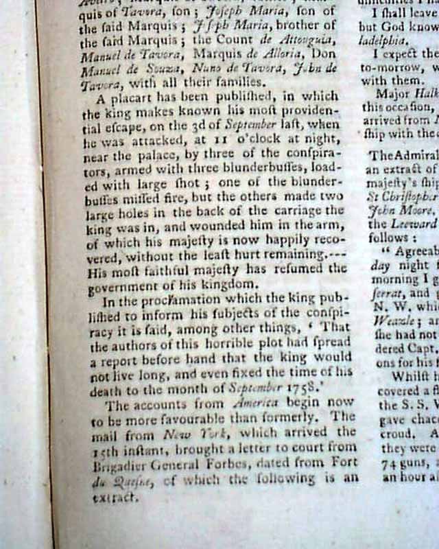
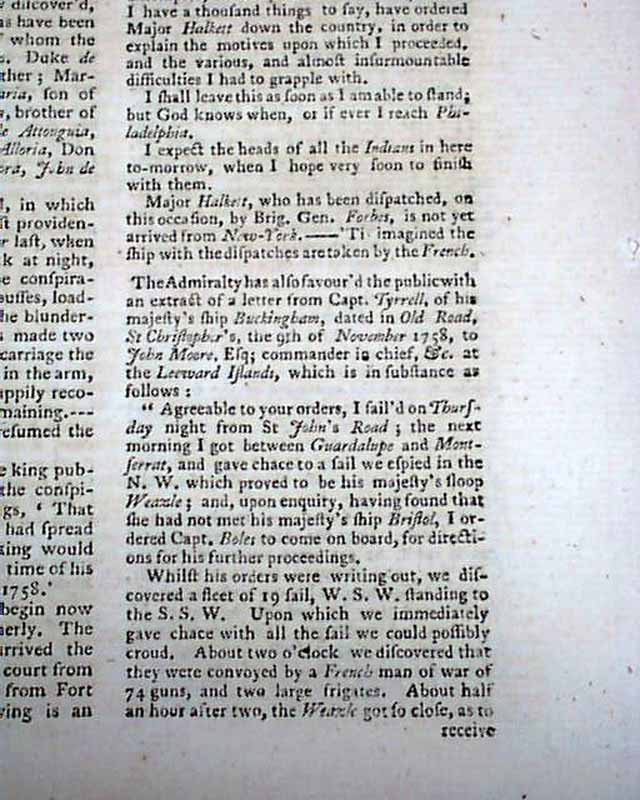
Also a letter from "New York, Nov. 20", plus another letter from General Forbes dated from Fort DuQuesne.
But perhaps the best portion of the issue is the large foldout map titled: "A Complete Map of Germany Comprehending in one View the Different Seats of the Present War, 1759" with some incredible detail, showing from the "German Ocean" with a portion of England, to a portion of Denmark, the Baltic Sea, Hungary, Croatia, Bosnia, the Gulf of Venice, Geneva, and so much more in between. Very detailed with hundreds of towns and rivers noted.The map measures 11 1/2 by 13 1/2 inches, a bit close-trimmed near the bottom of the right margin but not effecting the border. Very nice condition.
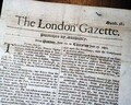
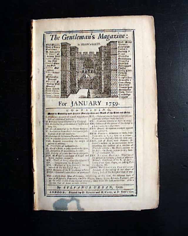
Complete in 48 pages, 5 1/2 by 8 3/4 inches with wide untrimmed margins, full title/contents page with an engraving of St. John's Gate, great condition. Minor wrapper remnant at the bottom of the title page.
Also a letter from "New York, Nov. 20", plus another letter from General Forbes dated from Fort DuQuesne.
But perhaps the best portion of the issue is the large foldout map titled: "A Complete Map of Germany Comprehending in one View the Different Seats of the Present War, 1759" with some incredible detail, showing from the "German Ocean" with a portion of England, to a portion of Denmark, the Baltic Sea, Hungary, Croatia, Bosnia, the Gulf of Venice, Geneva, and so much more in between. Very detailed with hundreds of towns and rivers noted.The map measures 11 1/2 by 13 1/2 inches, a bit close-trimmed near the bottom of the right margin but not effecting the border. Very nice condition.
Complete in 48 pages, 5 1/2 by 8 3/4 inches with wide untrimmed margins, full title/contents page with an engraving of St. John's Gate, great condition. Minor wrapper remnant at the bottom of the title page.
Category: The 1600's and 1700's
No Longer Available