Home > Back to Search Results >
Two great maps on the Crimean War...


Two great maps on the Crimean War...
Item # 675875
Currently Unavailable. Contact us if you would like to be placed on a want list or to be notified if a similar item is available.
December 03, 1854
NEW ORLEANS DAILY DELTA, Louisiana, Dec. 3, 1854
* Two great maps on the Crimean War
* Sevastopol Ukraine
* Rare antebellum title from the deep South
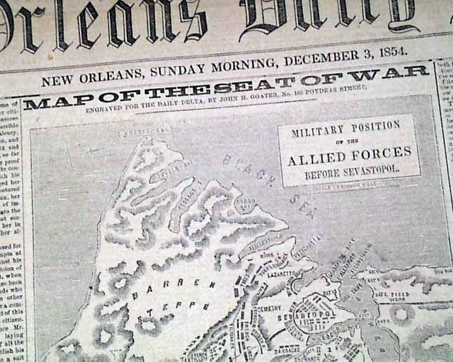
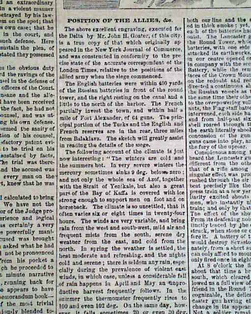
Almost the entire front page is taken up with reports on the Crimean War, with items headed: "Sevastopol Retaken" "Position of the Allies" "The Attack on Sevastopol" and more.
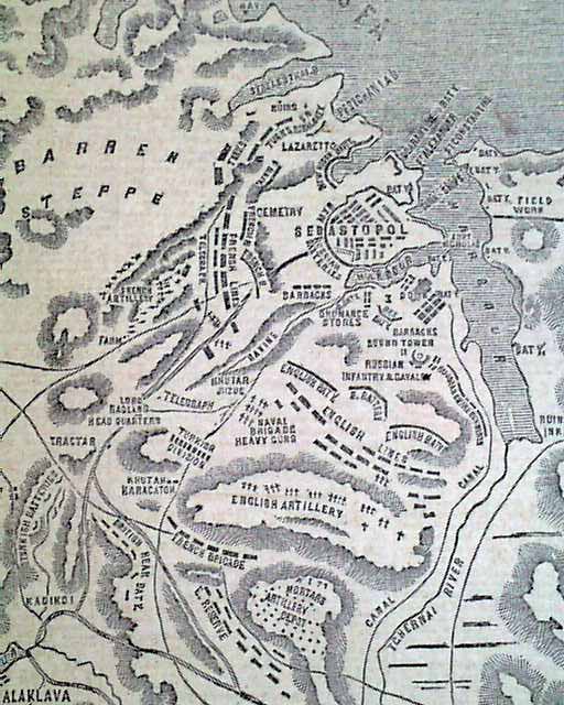
The prime feature of the ftpg. is a detailed map headed: "MAP OF THE SEAT OF WAR--Military Position of the Allied Forces Before Sevastopol".
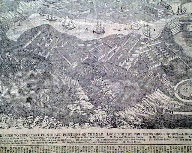
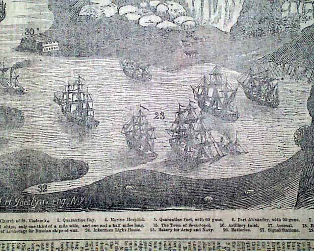
But of greater significance is the terrific & very unusual page 2 engraving--simply huge taking over half of the page--headed: "MAP OF SEVASTOPOL" which rather than a map is actually a 3 dimensional engraving of the town & port showing ships in the bay, location of the town, & much more. There is a key at the bottom of the map. This map measures 11 by 16 inches.
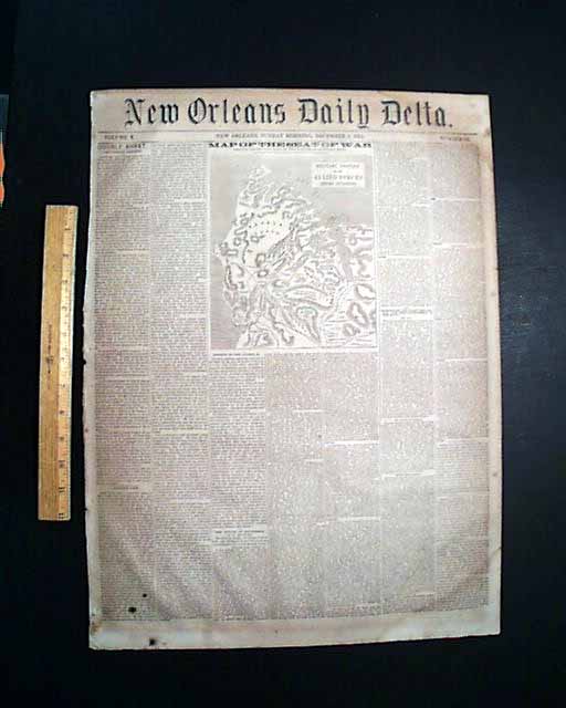
Complete in 8 pages, light browning throughout with some spotting & light damp staining, generally in nice condition. A bit irregular at the spine margin.
Category: Pre-Civil War
No Longer Available