Home > Back to Search Results >
Civil War map of the Bowling Green, Kentucky, vicinity....
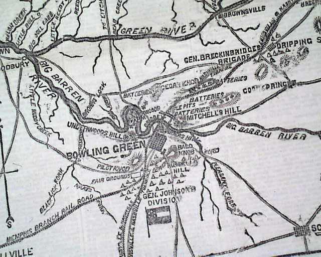

Civil War map of the Bowling Green, Kentucky, vicinity....
Item # 673324
Currently Unavailable. Contact us if you would like to be placed on a want list or to be notified if a similar item is available.
January 22, 1862
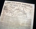
NEW YORK HERALD, Jan. 22, 1862
* Battle of Mill Springs
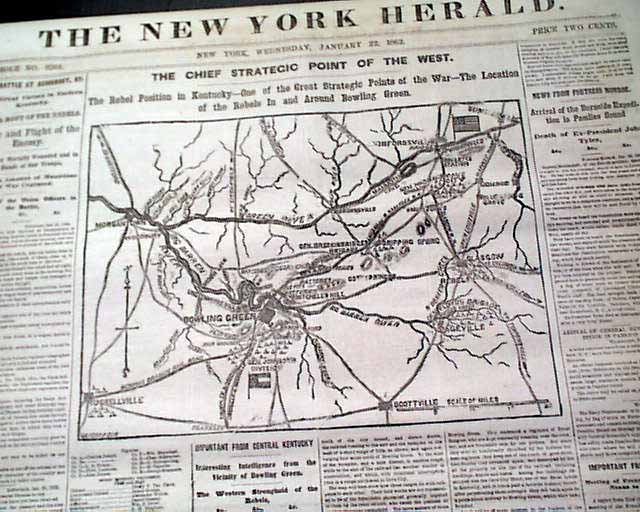
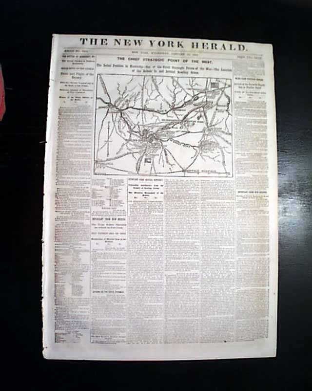
* Bowling Green, Kentucky map
* Fort Craig, New Mexico
The front page features a nice map titled: "THE CHIEF STRATEGIC POINT OF THE WEST. The Rebel Position in Kentucky..." showing the Bowling Green vicinity.
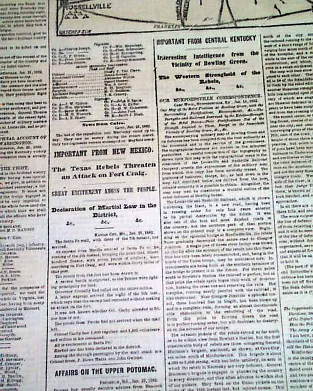
Among the one column heads on the Civil War are: "THE BATTLE OF SOMERSET, KY." "The Great Victory in Eastern Kentucky" "TOTAL ROUT OF THE REBELS" "Panic and Flight of the Enemy" "Important From Central Kentucky" "Interesting Intelligence from the Vicinity of Bowling Green" "The Western Stronghold of the Rebels" "Important From New Mexico" "The Texas Rebels Threaten at Attack on Fort Craig" & more.
Eight pages, nice condition.
Category: The Civil War
No Longer Available