Home > Back to Search Results >
Civil War maps shows Amelia Island, Florida, plus Fort Clinch, and more...
Civil War maps shows Amelia Island, Florida, plus Fort Clinch, and more...
Item # 670875
Currently Unavailable. Contact us if you would like to be placed on a want list or to be notified if a similar item is available.
March 18, 1862
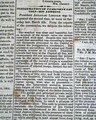
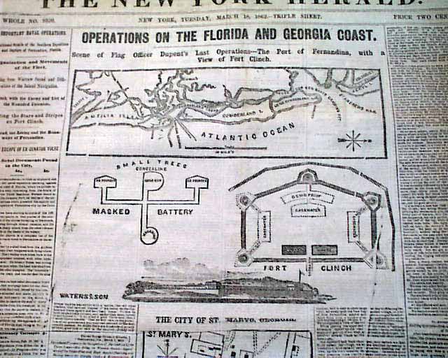
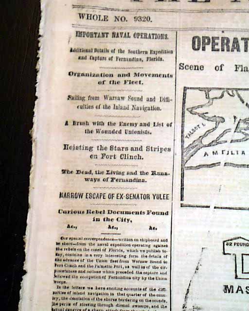
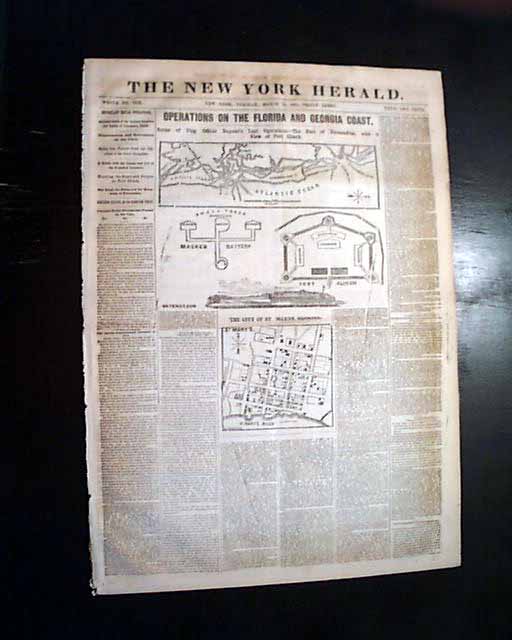
NEW YORK HERALD, March 18, 1862 Rarely do maps of Florida appear in Civil War newspapers, however this issue is a nice exception.
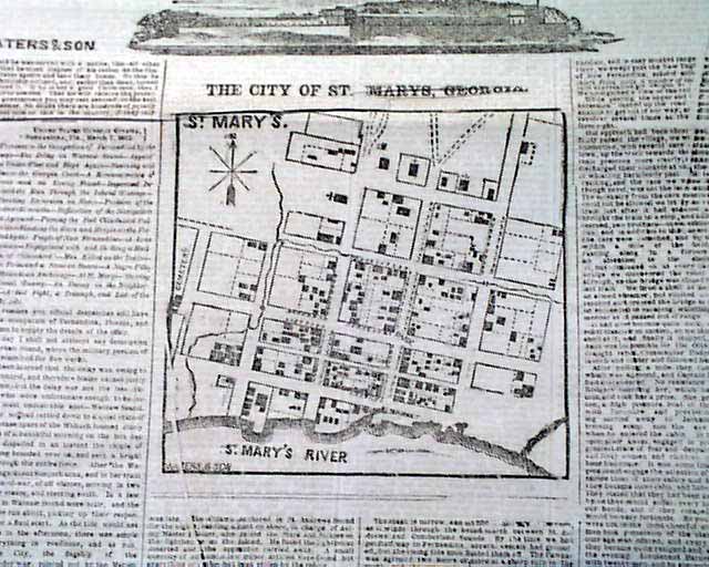
The ftpg. features 3 maps headed: "OPERATIONS ON THE FLORIDA AND GEORGIA COAST--Scene of Flag Officer Dupont's Last Operations--The Port of Fernandina, with a View of Fort Clinch". Then an illustration of Fort Clinch (just above Jacksonville) on Amelia Island, and then a detailed map of: "The City of St. Marys, Georgia".
The ftpg. has first column heads & text which relate to the maps.
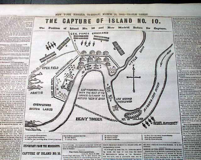
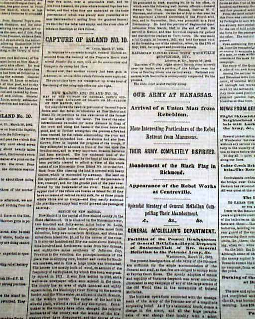
Additionally, page 3 features a large map headed: "THE CAPTURE OF ISLAND NO. 10" in the Mississippi River near New Madrid, Missouri.
Twelve pages, nice condition.
Category: Yankee
No Longer Available