Home > Back to Search Results >
Nice map of portions of Canada...


Nice map of portions of Canada...
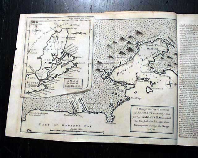
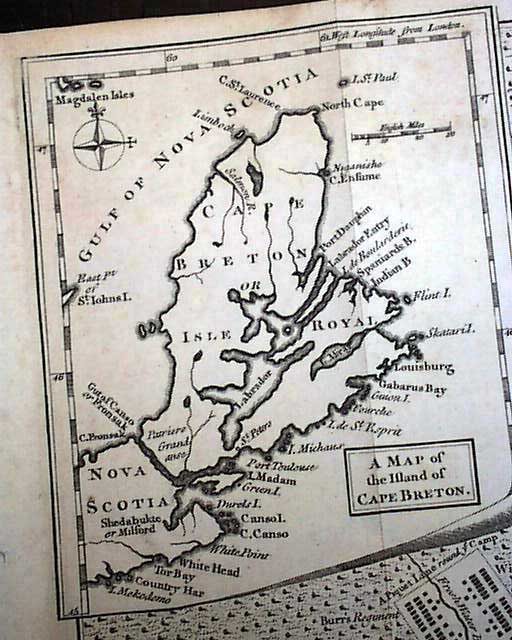
Item # 667291 THE GENTLEMAN'S MAGAZINE, London, March, 1758 Certainly the prime feature of this issue is the very nice & detailed foldout map titled: "A Plan of the City & Harbour of Louisburg; shewing that part of Gabarus Bay in which the English landed, also their Encampment during the Siege in 1745." Within this map is a large inset in the upper left which is: "A Map of the Island of Cape Breton." It measures 8 1/4 by 10 1/2 inches.
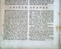
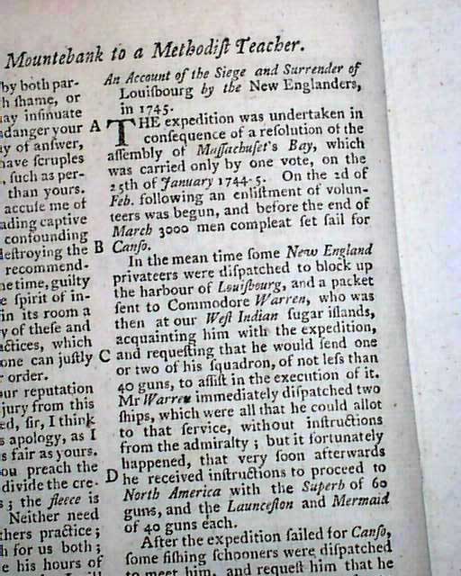
Accompanying this map is a lengthy article: "Account of the Siege & Surrender of Louisbourg by the New Englanders in 1745".
Among other articles within this issue are: "A Portable Soup Recommended for the Sick" "A Brief Account of the various Translations of the Bible into English" "Natural History of Iceland" which takes over 3 pages; "Experienced Method of Making Bread" "Account of the Hooping Cough and its Cure" and more.
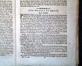
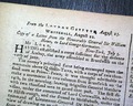
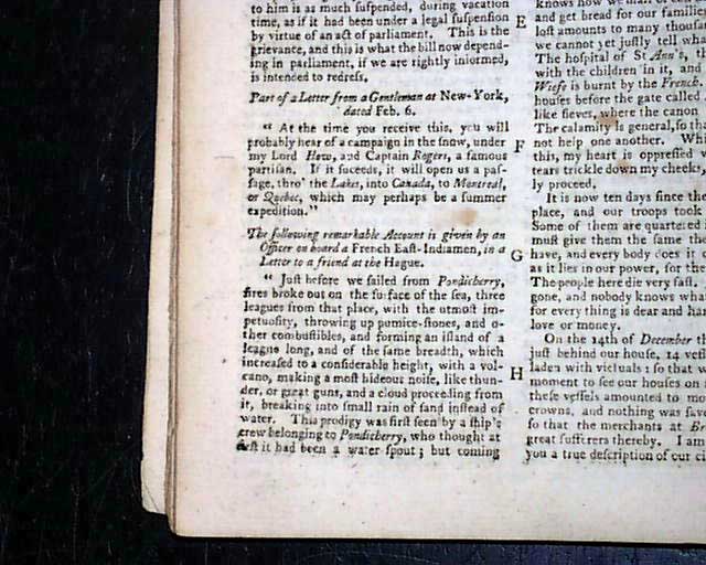
Near the back is the "Historical Chronicle" which has latest news of the day, mostly from Europe but there is a short item from New York which notes: "...you will probably hear of a campaign in the snow, under my Lord How(e), and Captain Rogers, a famous partisan. If it succeeds, it will open us a passage thro' the Lakes into Canada to Montreal or Quebec, which may perhaps be a summer expedition."
The noted map of Canada is the only plate called for in this issue.
Complete in 52 pages, full title/contents page featuring an engraving of St. John's Gate, 5 by 8 1/4 inches, nice condition.
A very nice French & Indian War era magazine from the "mother country" with a wide range of varied content. This was the first periodical to use the word "magazine" in its title, having begun in 1731 and lasting until 1907.
Category: The 1600's and 1700's