Home > Back to Search Results >
A map of the Rhine River... Cape Breton...

A map of the Rhine River... Cape Breton...
Item # 642773 GENTLEMAN'S MAGAZINE, London, July, 1758 The prime feature is the full page plate titled: "A Map of the Rhine Between Wesel & Dusseldorph [Dusseldorf]...".
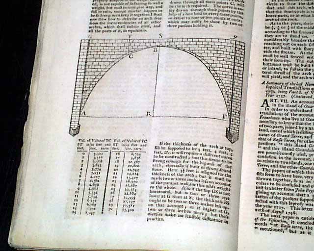
One of the articles: "The Best Way of Constructing the Arches of Bridges" includes a nice print of a bridge arch. Near the back is the "Historical Chronicle" which has various news events of the day, mostly European, but one report has: "French Account of the landing of the English on Cape Breton."
The other map called for is lacking.
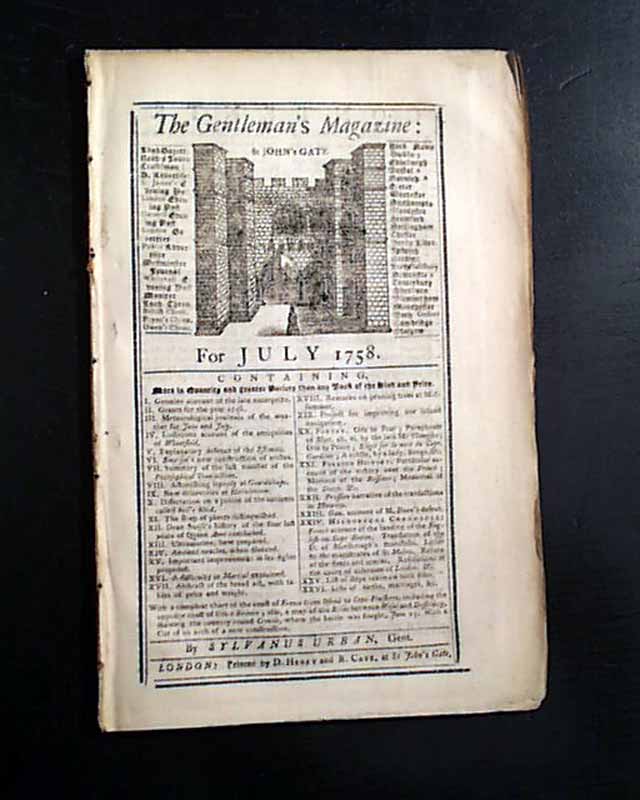
Complete in 48 pages, 5 3/4 by 8 3/4 inches, wide untrimmed margins, full title/contents page featuring an engraving of St. John's Gate, great condition.
A very nice magazine from during the French & Indian War from the "mother country" with a wide range of varied content. This was the first periodical to use the word "magazine" in its title, having begun in 1731 and lasting until 1907.
Category: The 1600's and 1700's