
Two great foldout maps of the "New Continent" and "Old Continent"...
Item # 565611Sorry, but this item is no longer available. Please be in touch at info@rarenewspapers.com if you would like to be placed on a want list or are interested in a potential alternate issue.
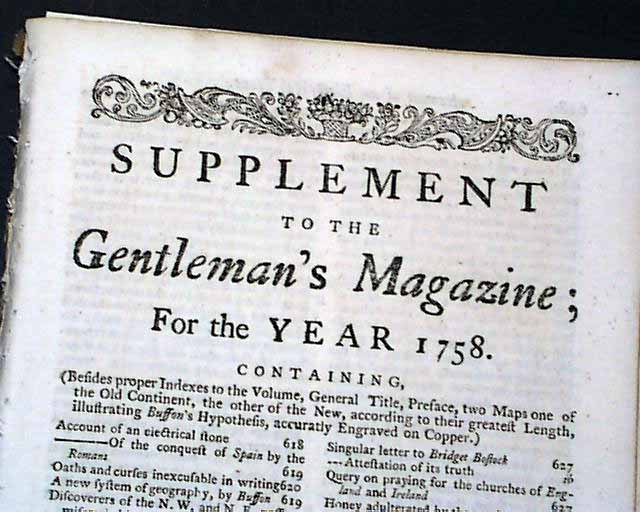
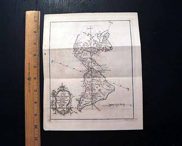
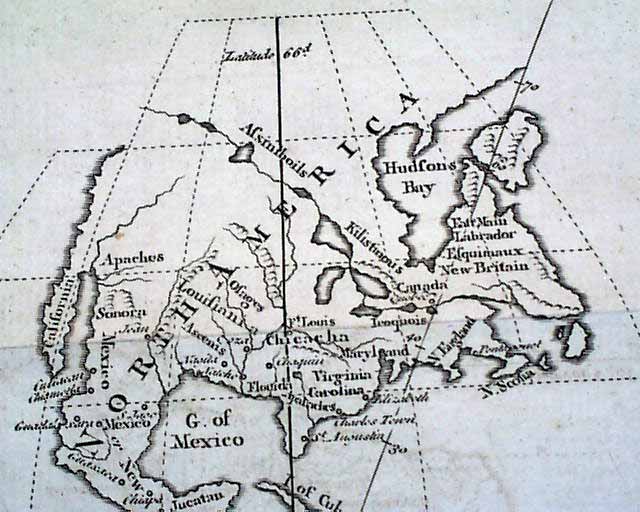
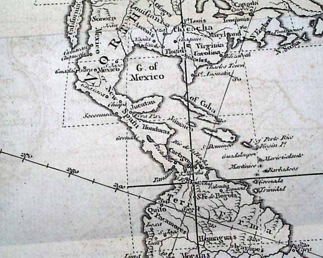
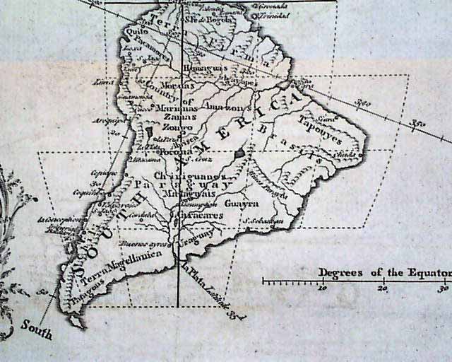
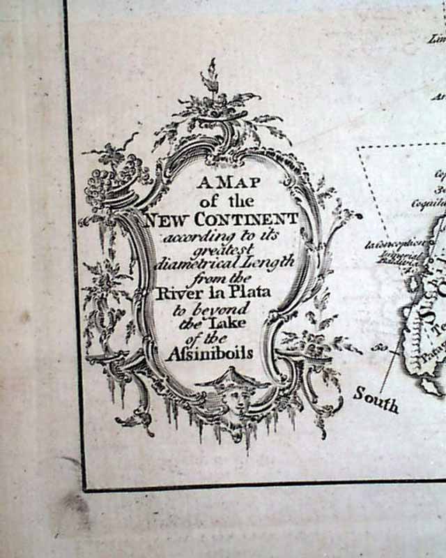
SUPPLEMENT TO THE GENTLEMAN'S MAGAZINE, London, England, 1758 This "supplemental" issue was done at the end of the year. The prime content would certainly be the two very nice foldout maps titled within their cartouches: "A Map of the New Continent According to its Greatest Diametrical length from the River la Plata to beyond the Lake of the Assimiboils" (see). This map shows both North and South America. North America is somewhat crudely done, particularly the West, obviously due to limited familiarity with that part of the world (see). This map measures 8 1/2 by 9 3/4 inches and is in great condition.
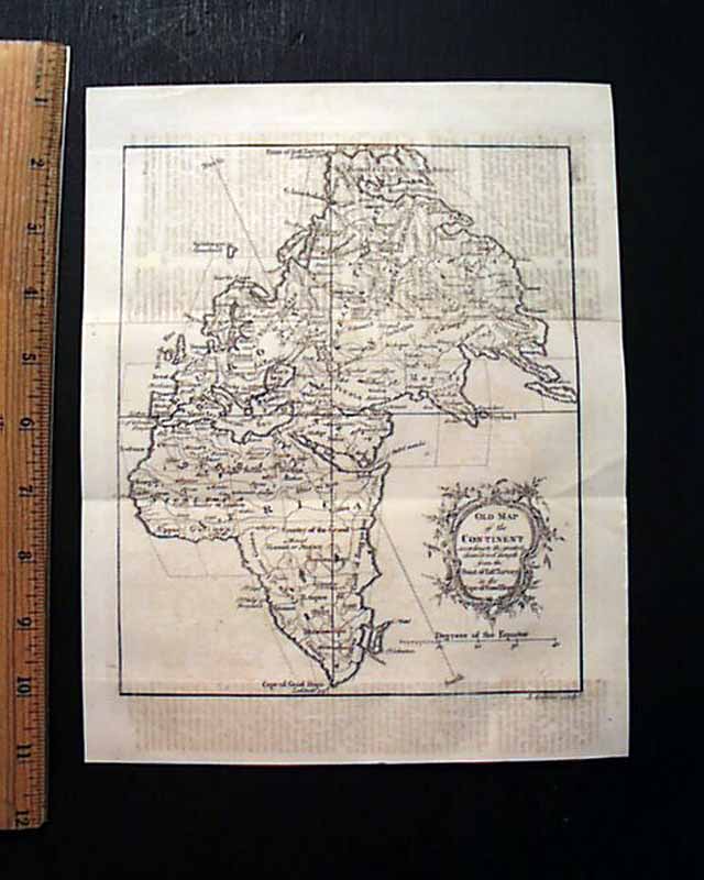
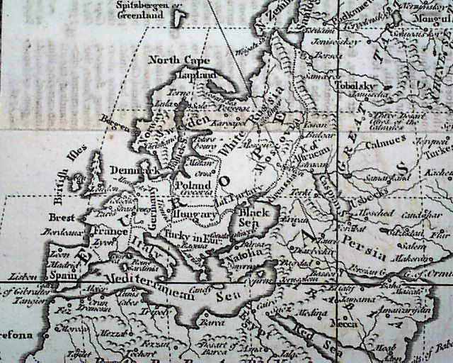
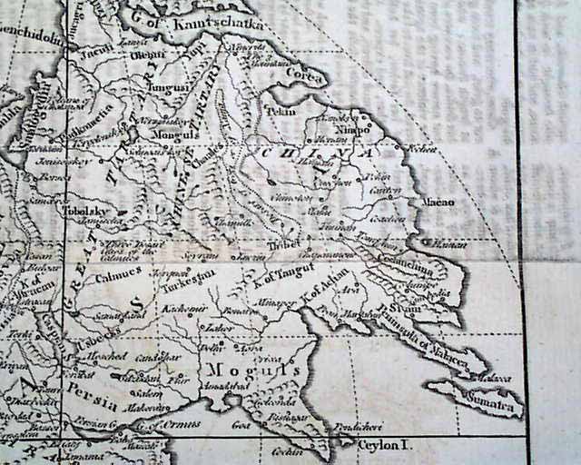
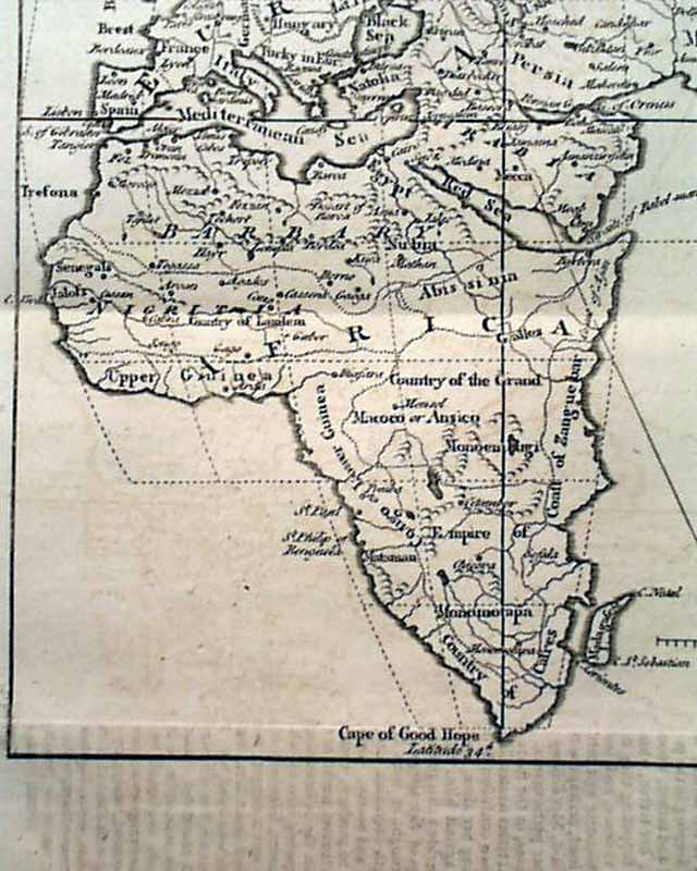
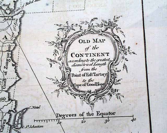
The other map is titled: "Old Map of the Continent according to the greatest diametrical Length from the Post of East Tartary to the Cape of Good Hope" showing all of Africa, Europe, the Middle East, Asia and various islands (see). Measures 8 1/2 by 9 1/2 inches and is in great condition.
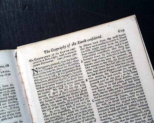
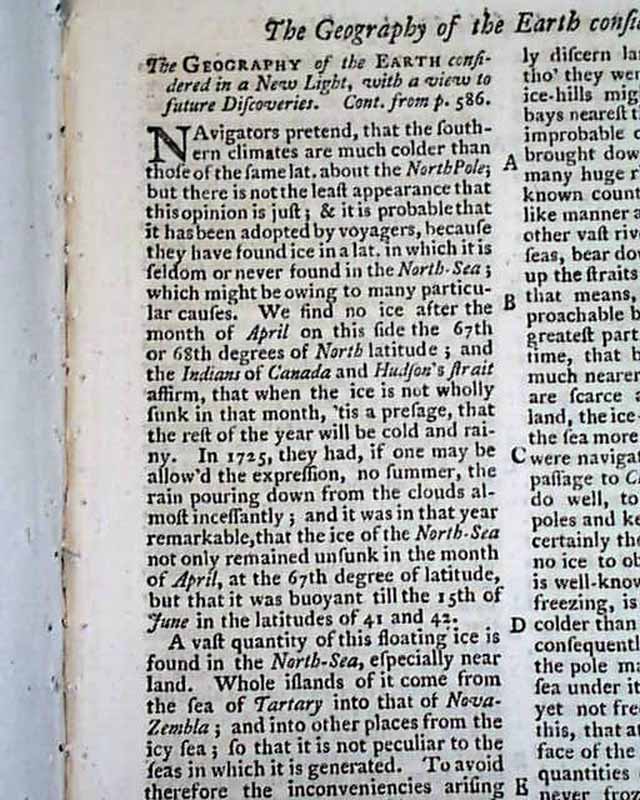
Accompanying these maps is an article: "The Geography of the Earth Considered in a New Light with a View to Future Discoveries" which takes over 4 pages.
The index to the full year is attached at the back. Complete in 24 pages, 5 by 8 1/4 inches, great condition.
The other map is titled: "Old Map of the Continent according to the greatest diametrical Length from the Post of East Tartary to the Cape of Good Hope" showing all of Africa, Europe, the Middle East, Asia and various islands (see). Measures 8 1/2 by 9 1/2 inches and is in great condition.
Accompanying these maps is an article: "The Geography of the Earth Considered in a New Light with a View to Future Discoveries" which takes over 4 pages.
The index to the full year is attached at the back. Complete in 24 pages, 5 by 8 1/4 inches, great condition.
Category: The 1600's and 1700's
