
Map of England and Wales, 1757...
Item # 222127Sorry, but this item is no longer available. Please be in touch at info@rarenewspapers.com if you would like to be placed on a want list or are interested in a potential alternate issue.
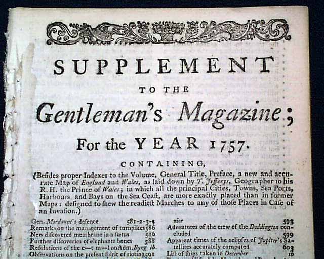
SUPPLEMENT TO THE GENTLEMAN'S MAGAZINE for the year 1757, London
* Map of England & Wales
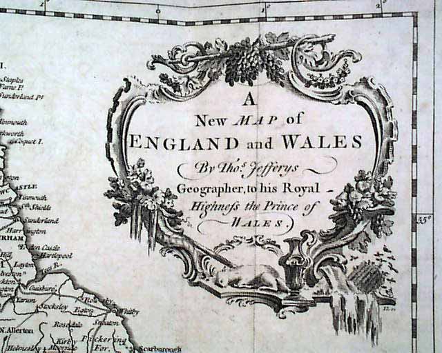
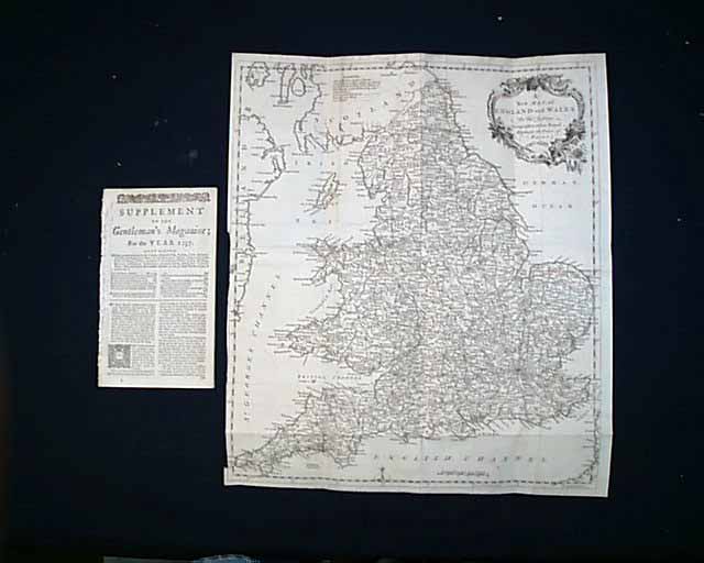
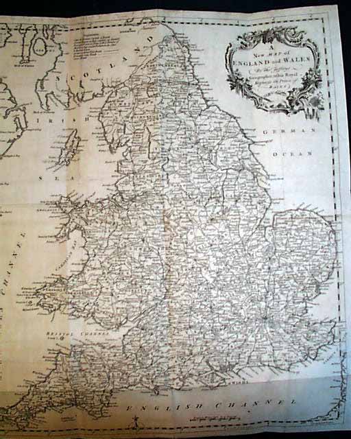
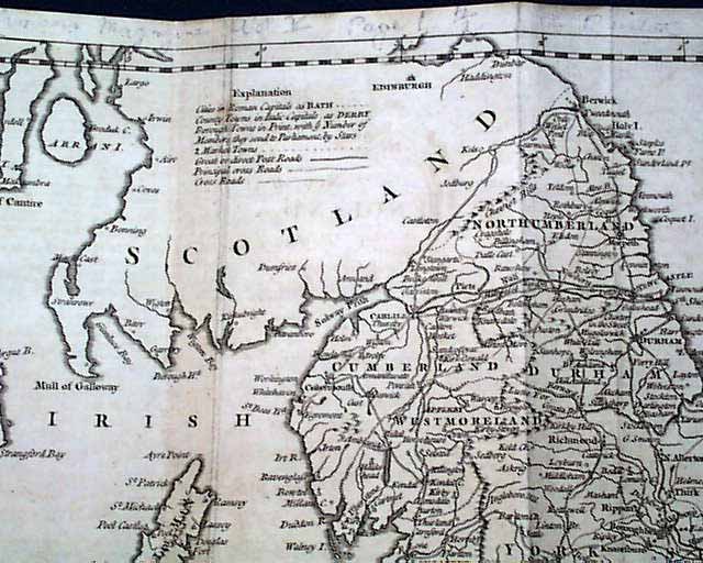
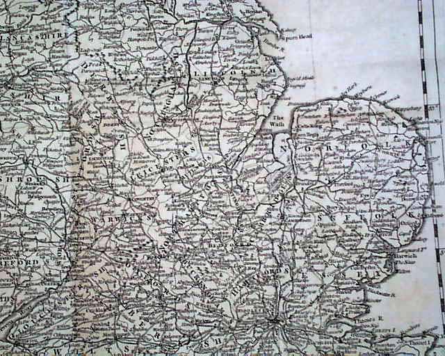
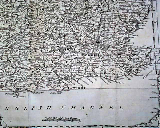
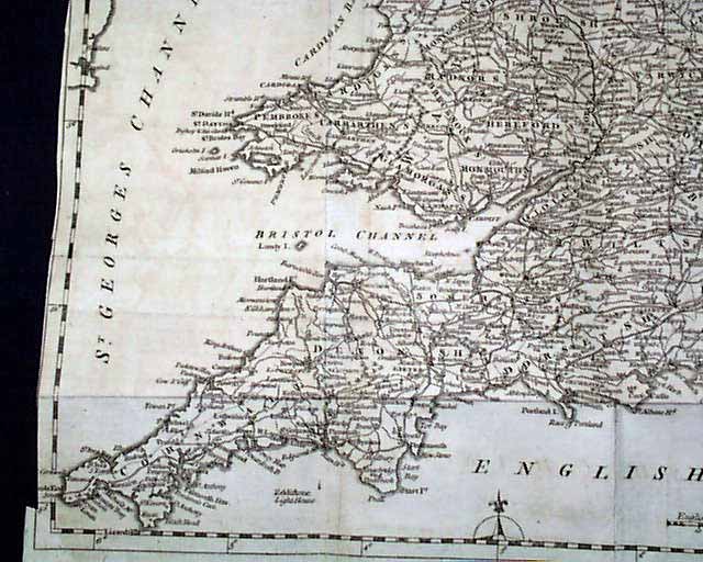
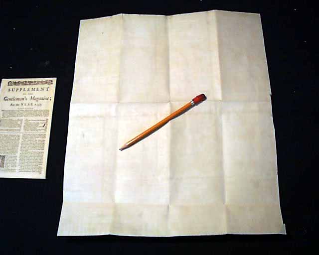
Within this 28 page supplementary issue of the Gentleman's Magazine, bound into the back of each annual volume, was found a rather large map titled: "A New Map of England and Wales by Thos. Jefferys, Geographer to his Royal Highness the Prince of Wales." in a very nice cartouche (see photos).
The map is very detailed showing hundreds of towns and various roads, etc.
Verification of the date of the map is found just under the title of the Supplement issue where it notes that included is "...a new and accurate Map of England and Wales as laid down by T. Jefferys...".
The Supplement issue measures about 5 by 8 inches, has tiny binding holes at the blank spine margin, otherwise is in very nice, clean condition.
The foldout map measures about 15 by 17 1/2 inches and is archivally backed up on the reverse for added stability. The map is in excellent condition although it is a bit close-trimmed at the left margin which partially affects the outer border but not the map itself. Some pencil notations at the very top margin.
* Map of England & Wales
Within this 28 page supplementary issue of the Gentleman's Magazine, bound into the back of each annual volume, was found a rather large map titled: "A New Map of England and Wales by Thos. Jefferys, Geographer to his Royal Highness the Prince of Wales." in a very nice cartouche (see photos).
The map is very detailed showing hundreds of towns and various roads, etc.
Verification of the date of the map is found just under the title of the Supplement issue where it notes that included is "...a new and accurate Map of England and Wales as laid down by T. Jefferys...".
The Supplement issue measures about 5 by 8 inches, has tiny binding holes at the blank spine margin, otherwise is in very nice, clean condition.
The foldout map measures about 15 by 17 1/2 inches and is archivally backed up on the reverse for added stability. The map is in excellent condition although it is a bit close-trimmed at the left margin which partially affects the outer border but not the map itself. Some pencil notations at the very top margin.
Category: The 1600's and 1700's
