Home > Back to Search Results >
Civil War map, plus a map of Fort Craig, New Mexico vicinity...
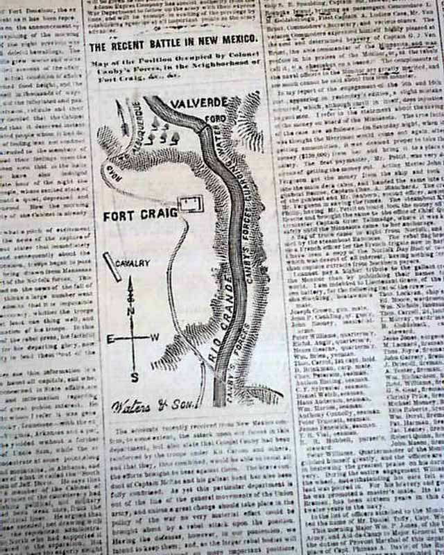
Civil War map, plus a map of Fort Craig, New Mexico vicinity...
Item # 655313
Currently Unavailable. Contact us if you would like to be placed on a want list or to be notified if a similar item is available.
March 17, 1862
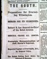
NEW YORK HERALD, March 17, 1862
* Rare hand drawn military map
* Battle of Pea Ridge Missouri
* Fort Craig NM New Mexico
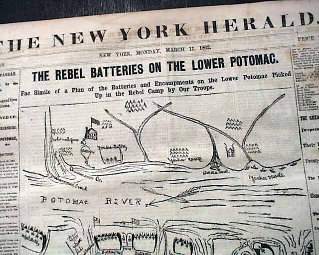
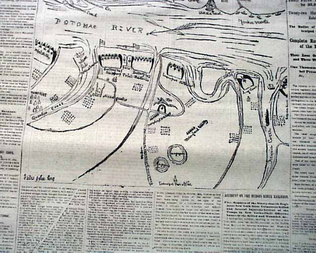
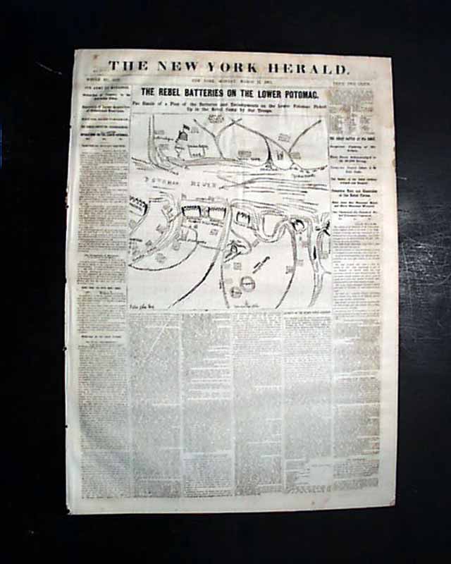
The front page features a large map headed: "THE REBEL BATTERIES ON THE LOWER POTOMAC." "Facsimile of a Plan of the Batteries & Encampments on the Lower Potomac Picked Up in the Rebel Camp By Our Troops."
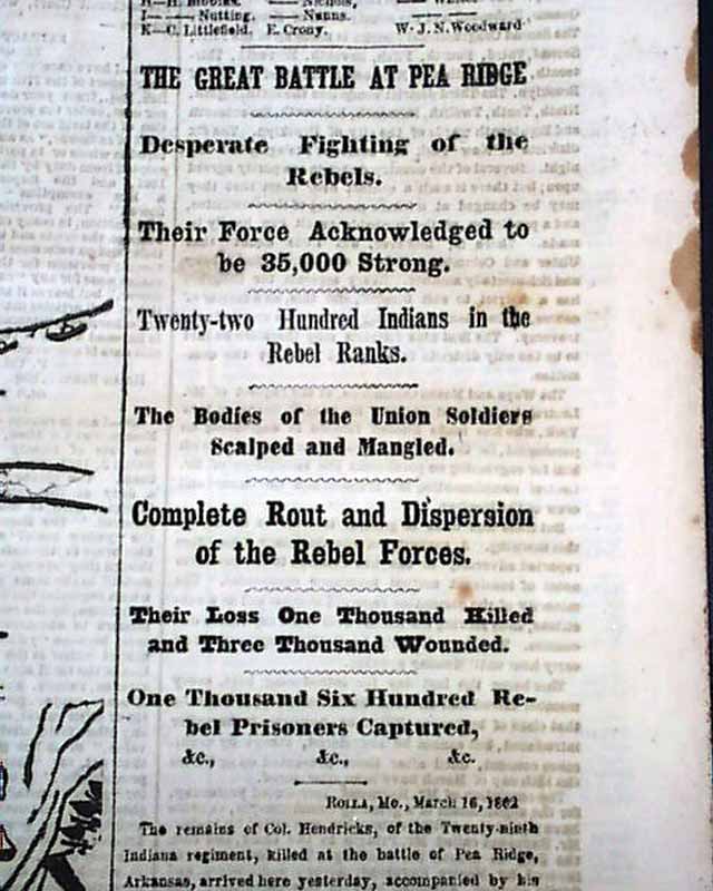
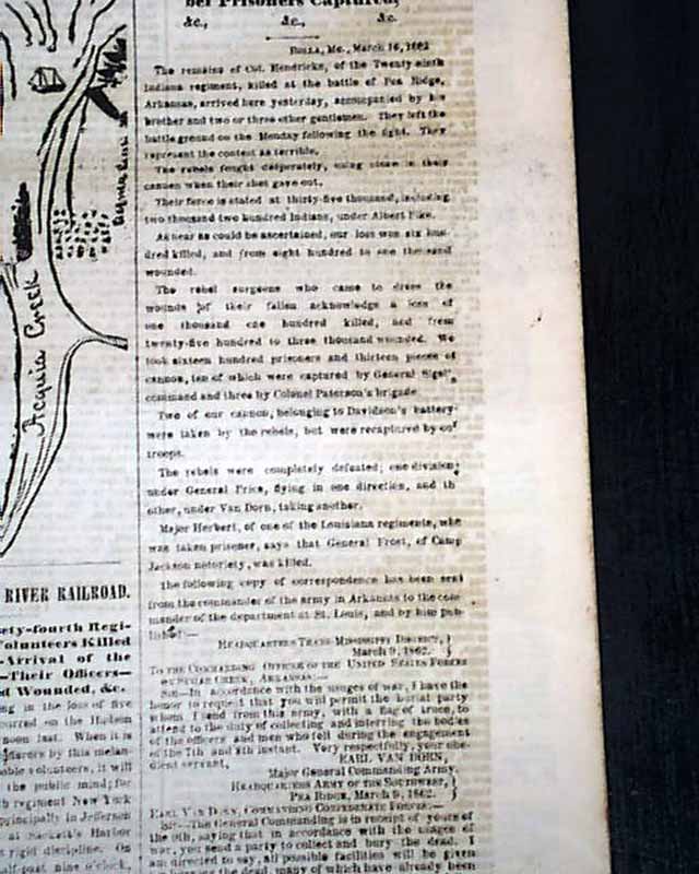
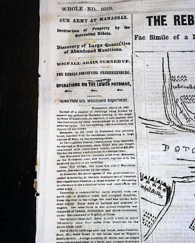
Front page column heads on the Civil War include: "Our Army At Manassas" "Destruction of Property by the Retreating Rebels" "Discovery of Large Quantities of Abandoned Munitions", & in another column: "The Great Battle At Pea Ridge" "Desperate Fighting of the Rebels" "Their Force Acknowledged to be 35,000 Strong" "2200 Indians in the Rebel Ranks" "The Bodies of the Union Soldiers Scalped and Mangled" & more.
The back page has a one column map: "The Recent Battle In New Mexico" which shows the position of Col. Canby's forces in the vicinity of Ft. Craig.
Eight pages in nice condition.
Category: The Civil War
No Longer Available