Home > Back to Search Results >
Nice map on the prelude to the Civil War...
Nice map on the prelude to the Civil War...
Item # 654598
Currently Unavailable. Contact us if you would like to be placed on a want list or to be notified if a similar item is available.
December 28, 1860
NEW YORK HERALD, Dec. 28, 1860
* Charleston Bay, South Carolina
* Pre Civil War map - Fort Sumter & more
A very nice issue from a few months before the outbreak of the Civil War, and just after South Carolina became the first state to secede from the Union.
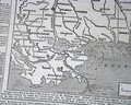
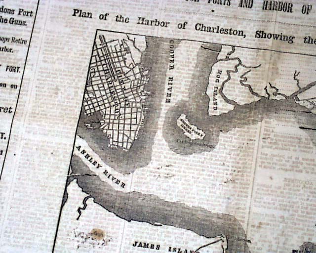
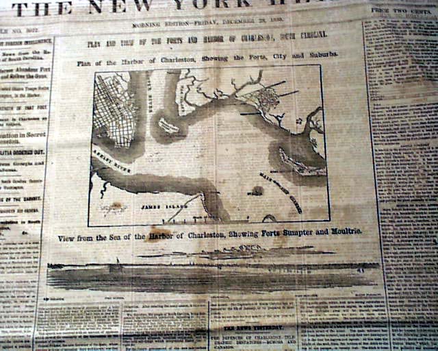
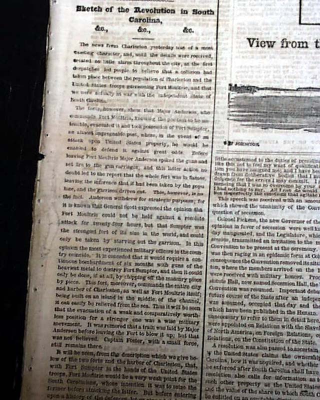
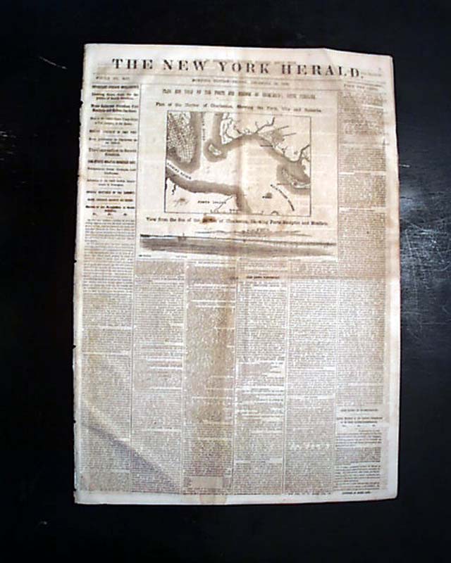
The front page has much on the situation in South Carolina including a very nice map headed: "PLAN & VIEW OF THE FORTS & HARBOR OF CHARLESTON, SOUTH CAROLINA. Plan of the Harbor of Charleston, Showing the First, City and Suburbs." And there is a smaller graphic beneath the map headed: "View from the Sea of the Harbor of Charleston, Showing Forts Sumpter and Moultrie."
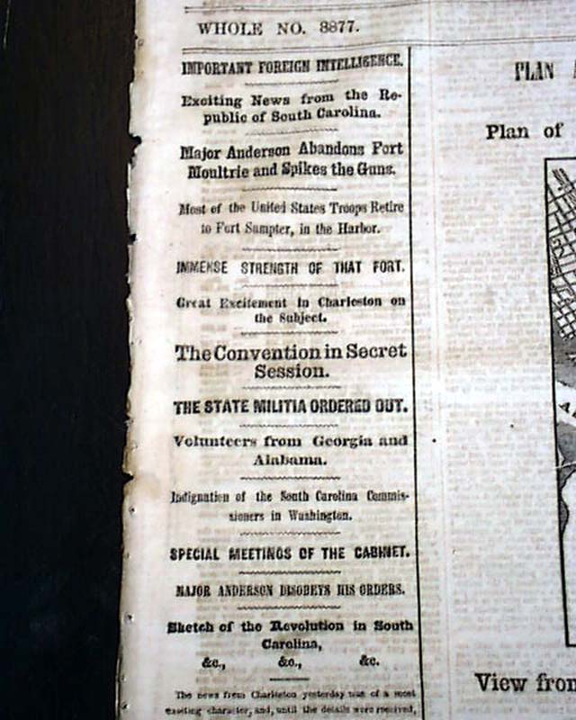
There are also many first column war-related heads including: "Exciting News from the Republic of South Carolina" "Major Anderson Abandons Fort Moultrie & Spikes the Guns" "Most of the United States Troops Retire to Fort Sumpter, in the Harbor" "The State Militia Ordered Out" and much more. The balance of the ftpg. is taken up with Civil War reports plus there is additional reporting on the inside pages.
Eight pages, various foxing, generally good condition.
Category: Yankee
No Longer Available