Home > Back to Search Results >
Map of the South Pole... Florida described in 1763...

Map of the South Pole... Florida described in 1763...
Item # 640267
Currently Unavailable. Contact us if you would like to be placed on a want list or to be notified if a similar item is available.
THE GENTLEMAN'S MAGAZINE, London, January, 1763* 18th century South Pole map
* Early description of Florida
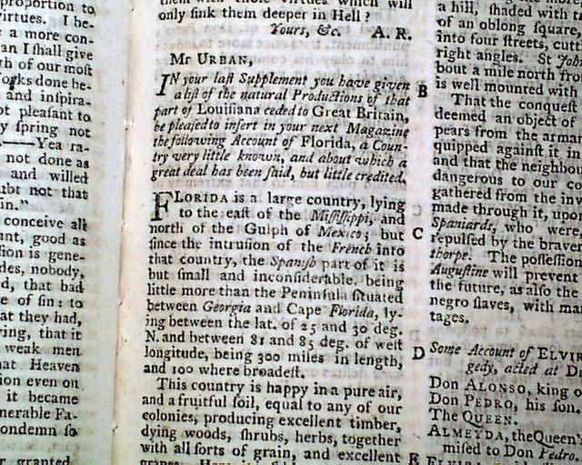
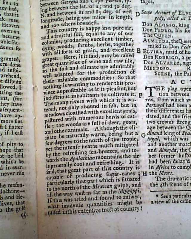
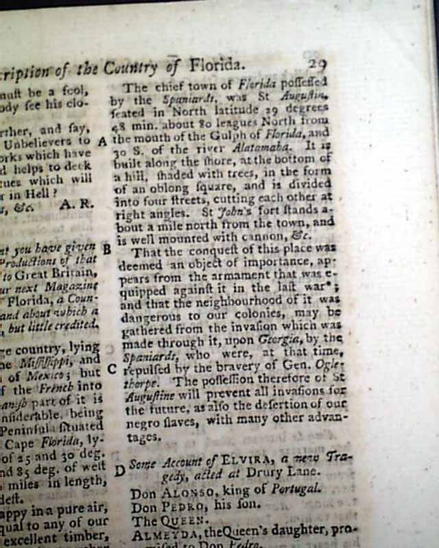
Within this issue is an interesting and quite early article titled: "A Description of the Country of Florida" which takes over a full column, and includes: "...Florida is a large country...this country is happy in a pure air & a fruitful soil, equal to any of our colonies producing excellent timber, herbs, all sorts of grain & excellent grapes...the woods are full of deer, goats & other animals. Although the climate be naturally warm...yet the intense heat is much mitigated by the refreshing sea breezes...the chief town of Florida possessed by the Spaniards was St. Augustine..." with more, including mention of James Oglethorpe. (see).
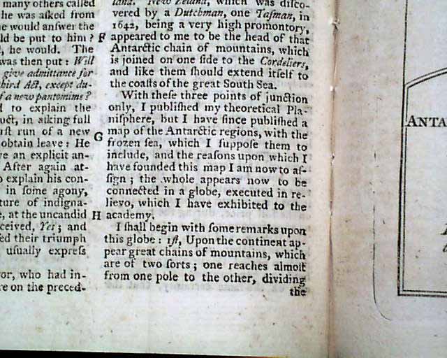
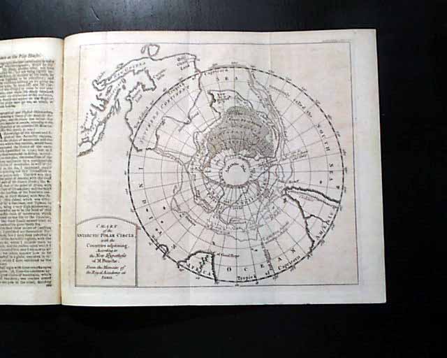
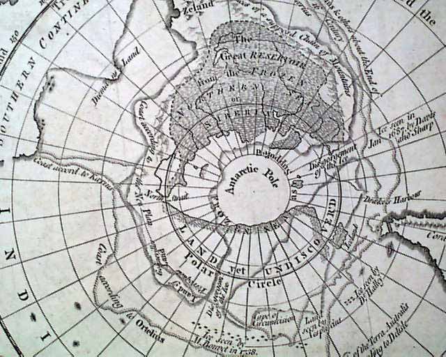
Perhaps the prime feature of this issue is the great foldout map titled: "Chart of the Antarctic Polar Circle, with the Countries Adjoining...". This is a map of the South Pole showing also the southern portions of South America, Africa, & Australia. This map measures 8 1/2 by 10 inches and is in great condition. This map accompanies an article: "Geographical & Physical Observations including a Theory of the Antarctic Regions..." (see for beginning).
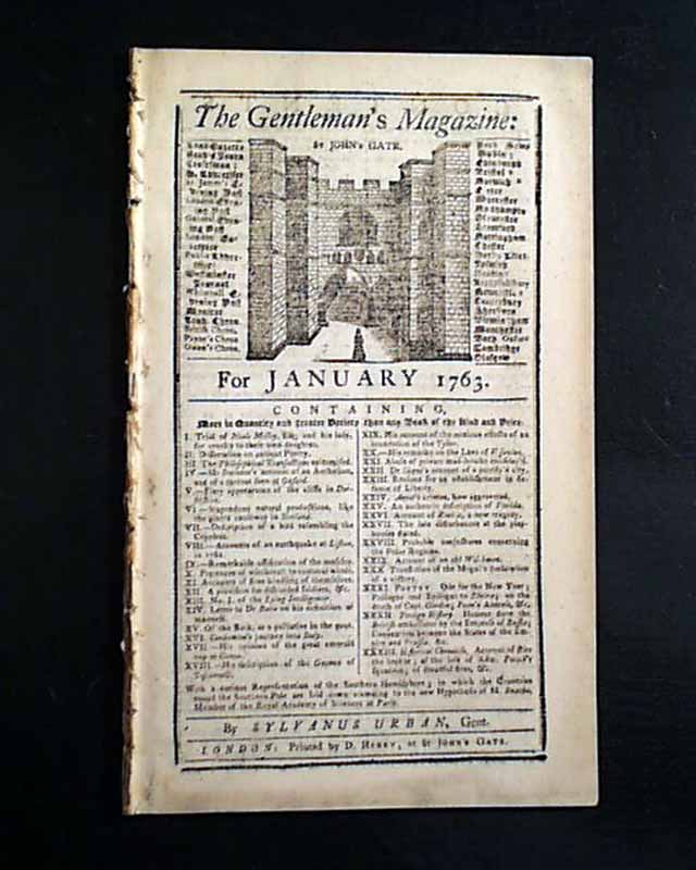
Complete in 48 pages, full title/contents page with an engraving of St. John's Gate, measures 5 1/4 by 8 1/2 inches, great condition.
A very nice magazine from just after the French & Indian War from the "mother country" with a wide range of varied content. This was the first periodical to use the word "magazine" in its title, having begun in 1731 and lasting until 1907.
Category: The 1600's and 1700's
No Longer Available