Home > Back to Search Results >
Very rare & early map of Washington, D.C...
Very rare & early map of Washington, D.C...
Item # 619760
Currently Unavailable. Contact us if you would like to be placed on a want list or to be notified if a similar item is available.
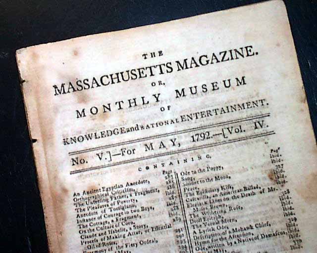
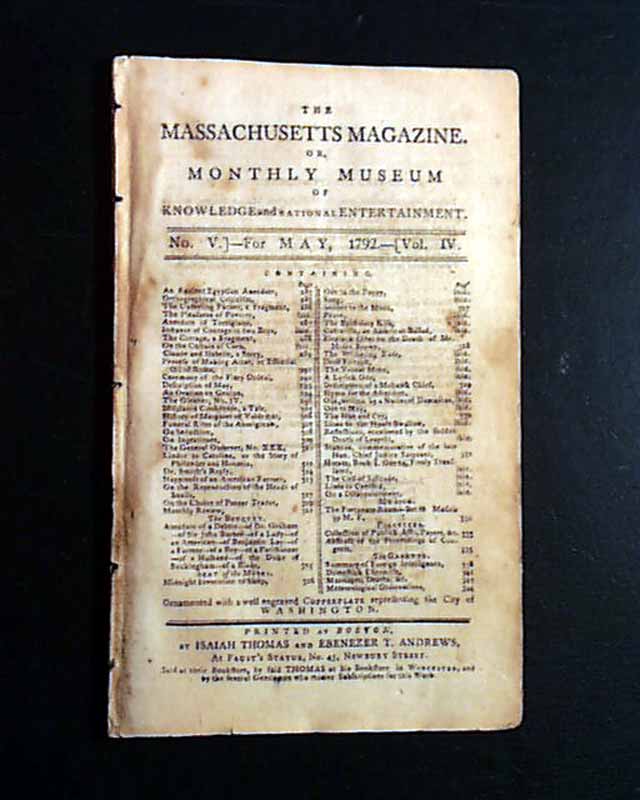
THE MASSACHUSETTS MAGAZINE, Boston, May, 1792* 18th century Washington D.C. map
Eighteenth century American magazines are increasingly scarce in today's market. This title was published by the famed Isaiah Thomas, the patriot printer from the Revolutionary War & founder of the American Antiquarian Society.
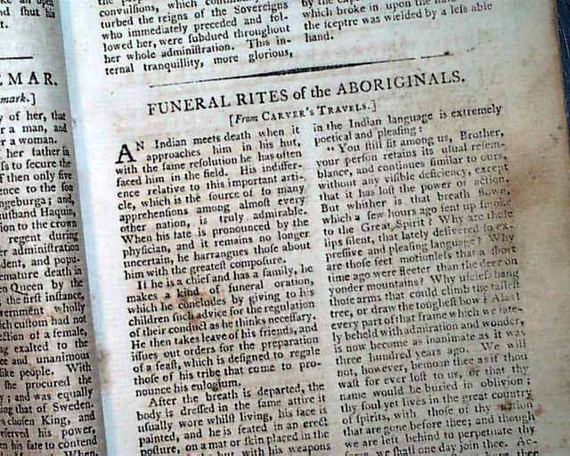
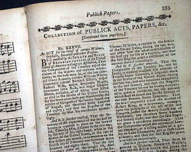
Content includes "The Pleasures of Poverty" "An Oration on Genius" "Funeral Rites of the Aboriginals" "Happiness of an American Farmer" and more. Near the back is a: "Collection of Publick Acts, Papers, etc." from the federal government including: "An ACT for the Relief of Certain Widows, Orphans, Invalids & other Persons" and "An ACT for Making Farther & more Effectual Provision for the Protection of the Frontiers of the United States", both noting: "approved by the President...".
There is also much reporting on "Congressional Proceedings" including discussion of the Representation bill concerning how it would determine the number of Representatives from each state (see for portions). Also some talk on: "...to substitute a clause which provides that the double vacancy in the office of President and Vice President shall be filled by the Secretary of State for the time being...", plus other Congressional discussion.
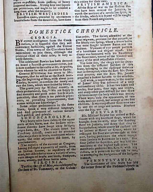
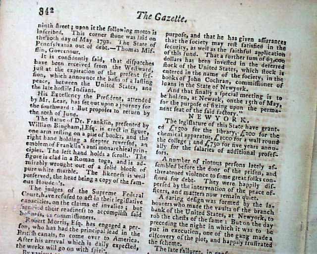
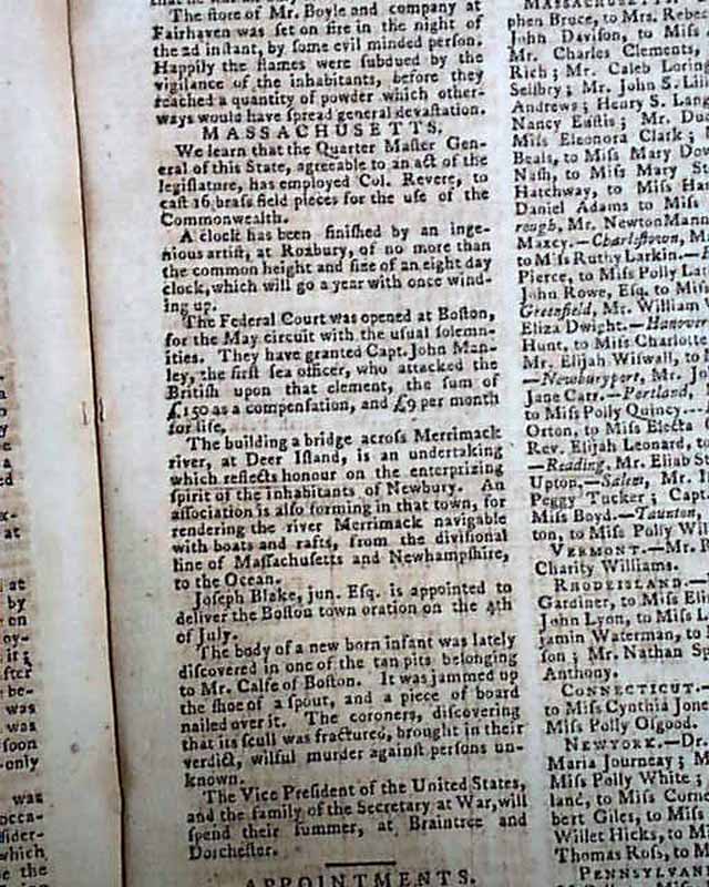
There are news reports from various foreign city, then followed by the; "Domestick Chronicle" containing news from the United States, including an item from Massachusetts that they have: "...employed Col. Revere to cast 16 brass field pieces for the use of the Commonwealth.", he being Paul Revere. There is a list of "Appointments in the Army..." including Anthony Wayne as Major General.
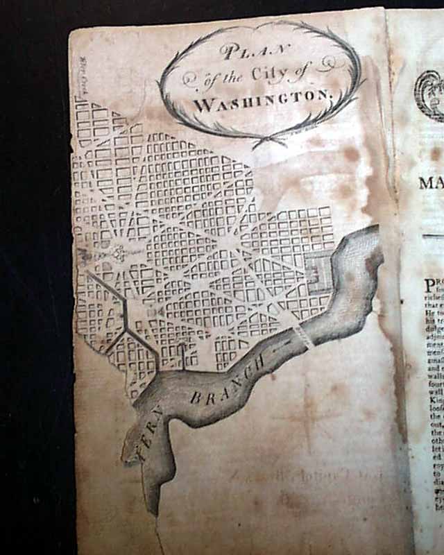
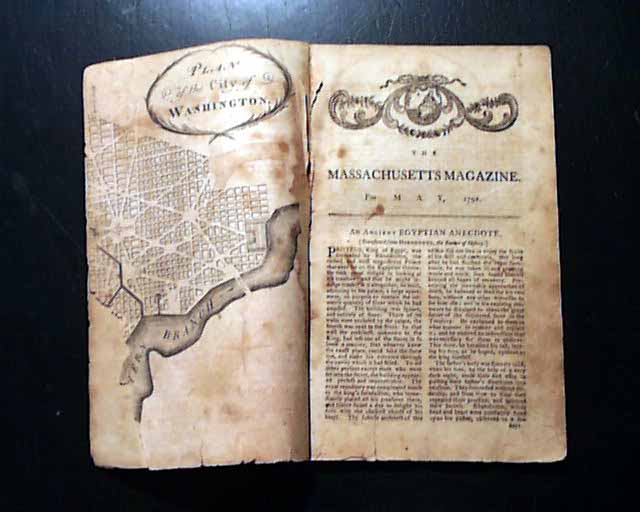
But certainly the most noteworthy item in this publication is the very significant map titled: "Plan of the City of Washington", defective as it is, the very first formal map of the city. This map was based on L'Enfant's plan for the city, with the assistance of surveyor Benjamin Banneker, an African American (see hyperlink).
As a bit of history on this map, the following comes from "Boston Rare Maps".
"In January 1791 President Washington announced that the capital district would be a diamond-shaped tract, 10 miles per side, roughly centered on the confluence of the Potomac and Eastern Branch (Anacostia) Rivers. Andrew Ellicott was engaged to conduct a topographical survey of the area, while Pierre L’Enfant was hired to develop a plan for the capital city itself. L’Enfant was a French artist and engineer who had served as a volunteer during the Revolution and was sufficiently well connected that he had been asked to design the seal for the Society of the Cincinnati. He was brilliant but difficult, so much so that President Washington eventually fired him in 1792 and engaged Ellicott, who used L’Enfant’s design as the basis for his plan of the city.
Ellicott forwarded his manuscript plan to the firms of Thackara & Vallance in Philadelphia and Samuel Hill in Boston. They were engaged to engrave and publish the plan as quickly as possible, in order that it might be distributed to facilitate the sale of land in the new city. Before publishing the large-scale “official” plans, each firm released smaller versions, which appeared as plates in The Universal Asylum And Columbian Magazine and the Massachusetts Magazine."
Over half of the map is lacking (see photos).
The issue is complete in 64 pages, 5 by 8 1/4 inches, various foxing throughout, full title/contents page
Category: The 1600's and 1700's
No Longer Available