
Map of the world... Second battle of Quebec...
Item # 598702Sorry, but this item is no longer available. Please be in touch at info@rarenewspapers.com if you would like to be placed on a want list or are interested in a potential alternate issue.
GENTLEMAN'S MAGAZINE, London, June, 1760
* Second battle of Quebec
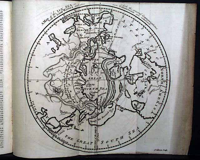
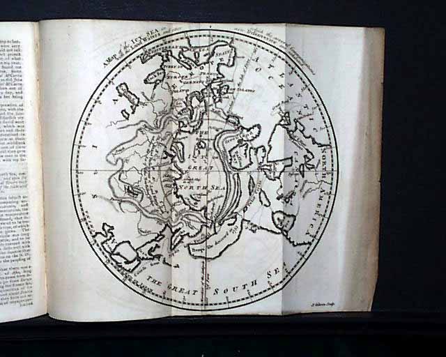
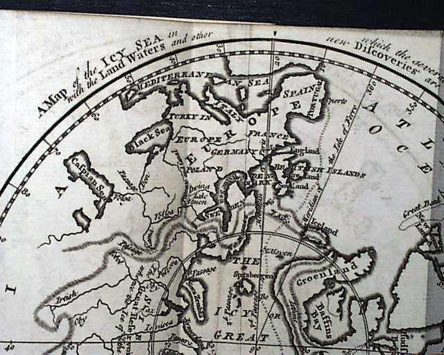
* Map of the world from the perspective of the North Pole
A very nice magazine from the French & Indian War period from the "mother country" with a wide range of varied content including news of the day, political reports, literary items, and other unusual tidbits. This was the first periodical to use the word "magazine" in its title, having begun in 1731 and lasting until 1907.
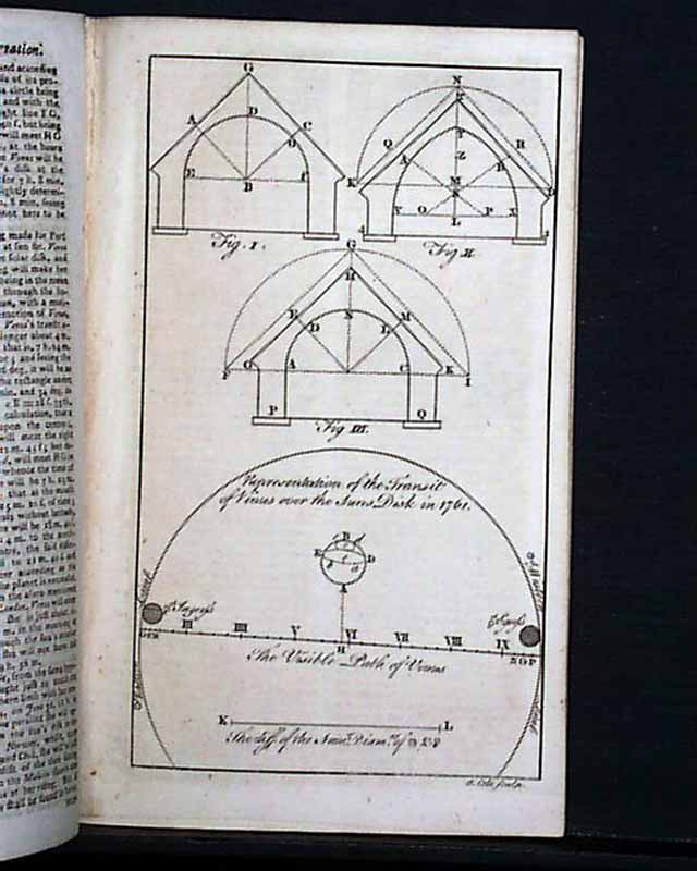
The lead article in this issue is: "Act for Better Supplying the City with Fish" "Case of a Paralytic Patient Cured by Electricity" "New Method of Discovering the Longitude" "Transit of Venus over the Sun, the 2nd since the Creation" which includes a print of it in half of a full page print (see), the other half of the plate showing: "To draw the Arch of Three Points"; "An Approved Remedy for Contraction in the Joints" "Effects of the Miseries of Human Life" "The Aurora Borealis in its Various Appearances" "Disposition of His Majesty's Forces and Fleet" which includes much detail; and more.
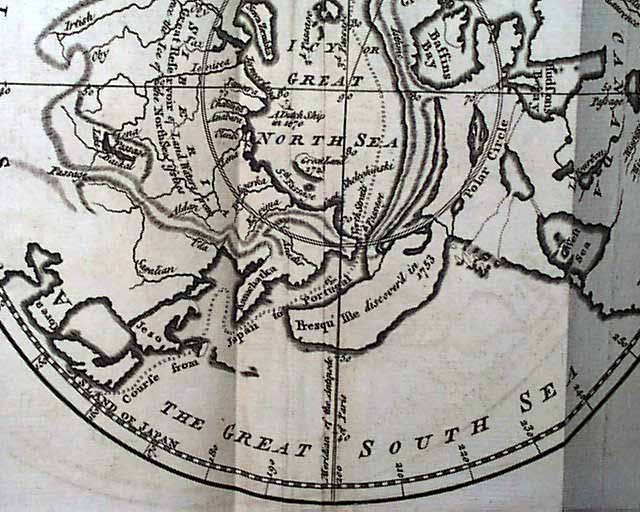
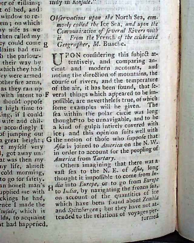
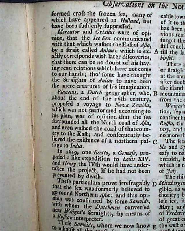
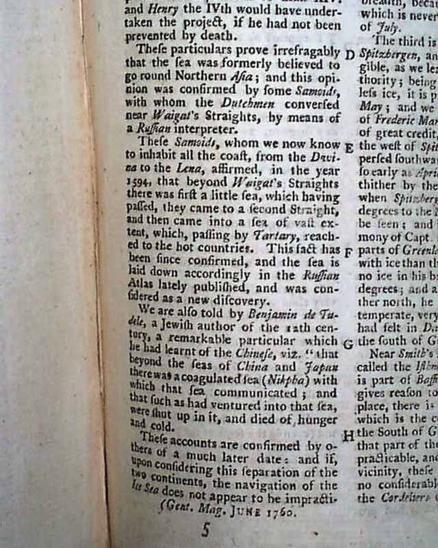
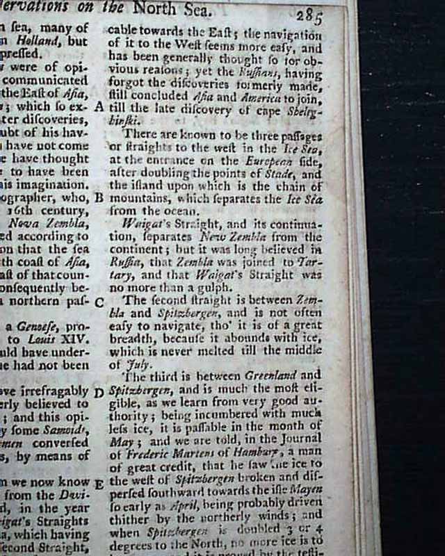
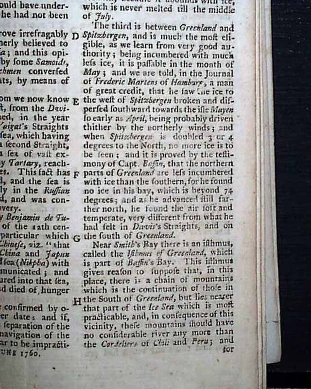
Perhaps the best feature of this issue is the very nice foldout map, shown from the North Pole and showing Europe, Presque Isle, the northern portion of North America, and northern Asia and more (see). The map is titled: "A Map of the Icy Sea in which the Several Communications with the Land Waters and other new Discoveries are Exhibited." (see) Accompanying this map is an article: "Observations Upon the North Sea...". The map measures 8 1/4 by 9 1/4 inches and is in great condition.
Near the back is the Historical Chronicle which gives various news reports of the day and which includes a report that: "...on the 28th of April Brig. Gen. Murray, with 3000 men of the garrison of Quebec, attacked near that place...and after a warm and obstinate engagement with a considerable loss of men...was obliged, by tghe superiority of the enemy's numbers, to retire back into Quebec..." with more (see). A bit further on is another report with considerably more detail and taking two pages of text, signed in type: Ja. Murray, commander of the British forces.
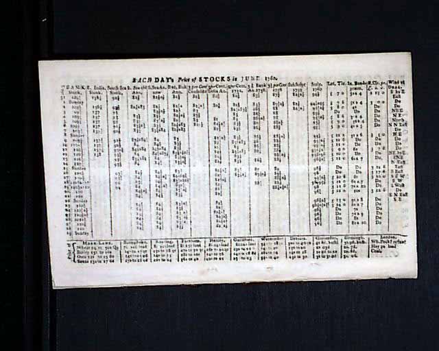
The back page is a full page chart of: "Each Day's Price of Stocks in June, 1760".
Both plates called for are present and are described above.
Complete in 48 pages, measures 5 by 8 inches, nice condition. Includes the full title/contents page featuring an engraving of St. John's Gate.
* Second battle of Quebec
* Map of the world from the perspective of the North Pole
A very nice magazine from the French & Indian War period from the "mother country" with a wide range of varied content including news of the day, political reports, literary items, and other unusual tidbits. This was the first periodical to use the word "magazine" in its title, having begun in 1731 and lasting until 1907.
The lead article in this issue is: "Act for Better Supplying the City with Fish" "Case of a Paralytic Patient Cured by Electricity" "New Method of Discovering the Longitude" "Transit of Venus over the Sun, the 2nd since the Creation" which includes a print of it in half of a full page print (see), the other half of the plate showing: "To draw the Arch of Three Points"; "An Approved Remedy for Contraction in the Joints" "Effects of the Miseries of Human Life" "The Aurora Borealis in its Various Appearances" "Disposition of His Majesty's Forces and Fleet" which includes much detail; and more.
Perhaps the best feature of this issue is the very nice foldout map, shown from the North Pole and showing Europe, Presque Isle, the northern portion of North America, and northern Asia and more (see). The map is titled: "A Map of the Icy Sea in which the Several Communications with the Land Waters and other new Discoveries are Exhibited." (see) Accompanying this map is an article: "Observations Upon the North Sea...". The map measures 8 1/4 by 9 1/4 inches and is in great condition.
Near the back is the Historical Chronicle which gives various news reports of the day and which includes a report that: "...on the 28th of April Brig. Gen. Murray, with 3000 men of the garrison of Quebec, attacked near that place...and after a warm and obstinate engagement with a considerable loss of men...was obliged, by tghe superiority of the enemy's numbers, to retire back into Quebec..." with more (see). A bit further on is another report with considerably more detail and taking two pages of text, signed in type: Ja. Murray, commander of the British forces.
The back page is a full page chart of: "Each Day's Price of Stocks in June, 1760".
Both plates called for are present and are described above.
Complete in 48 pages, measures 5 by 8 inches, nice condition. Includes the full title/contents page featuring an engraving of St. John's Gate.
Category: The 1600's and 1700's
