
Displayable Civil War map...
Item # 565324Sorry, but this item is no longer available. Please be in touch at info@rarenewspapers.com if you would like to be placed on a want list or are interested in a potential alternate issue.
May 10, 1862
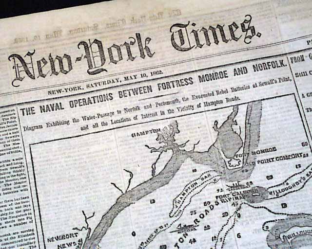
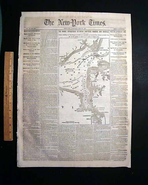
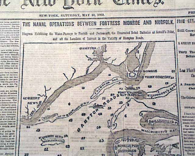
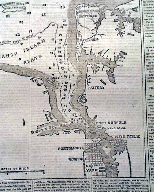
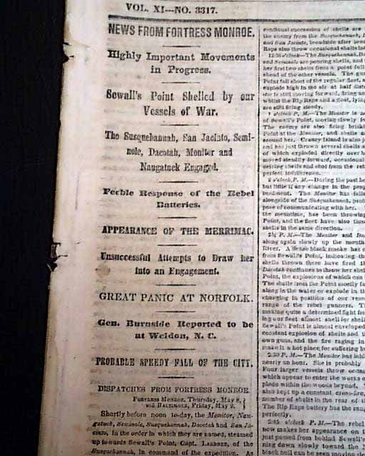
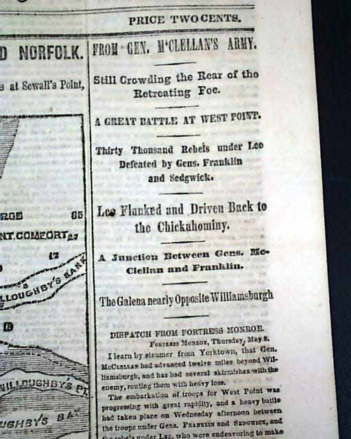
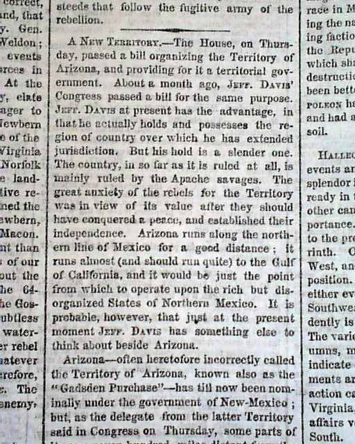
THE NEW YORK TIMES, May 10, 1862 The ftpg. features a very large map headed: "THE NAVAL OPERATIONS BETWEEN FORTRESS MONROE AND NORFOLK." with a lengthy subhead. The map has much detail of this portion of the coast of Virginia. The rest of the ftpg. is taken up with various column heads on the war including: "A Great Battle at West Point" "Lee Flanked & Driven Back to the Chickahominy" "A Junction Between Gens. McClellan and Franklin" "Sewall's Point Shelled by our Vessels of War" "Feeble Response of the Rebel Batteries" "Appearance of the Merrimac" "Great Panic at Norfolk" and more. Additional war reporting inside including an article: "A New Territory" concerning organizing the Territory of Arizona, and noting the Confederates did the same a month previous (see).
Eight pages, very nice condition.
Eight pages, very nice condition.
Category: Yankee
