Home > Back to Search Results >
A slave map of Georgia...


A slave map of Georgia...
Item # 172528
December 14, 1861
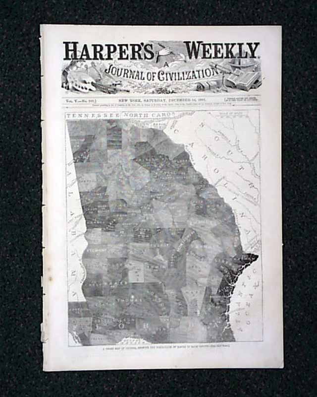
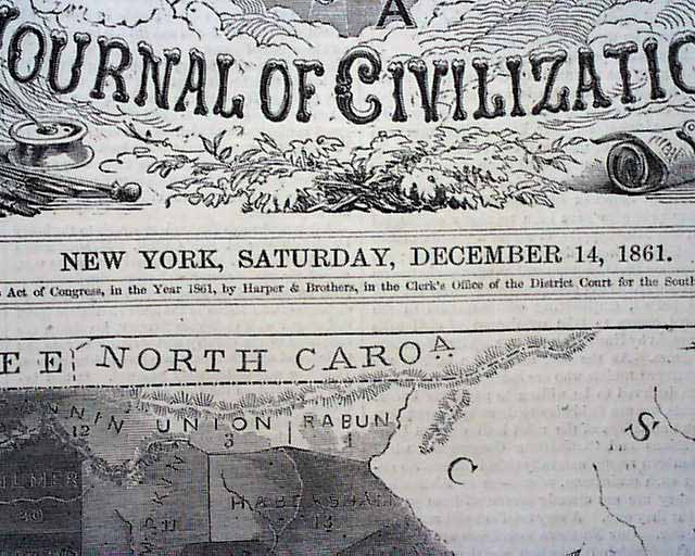
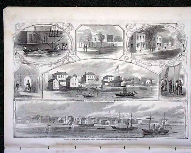
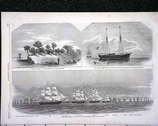
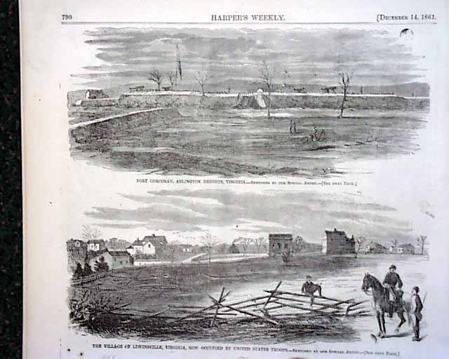
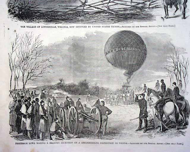
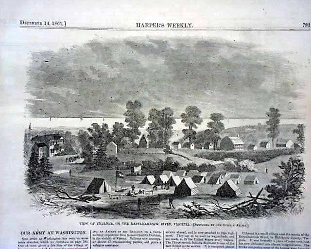
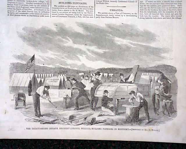
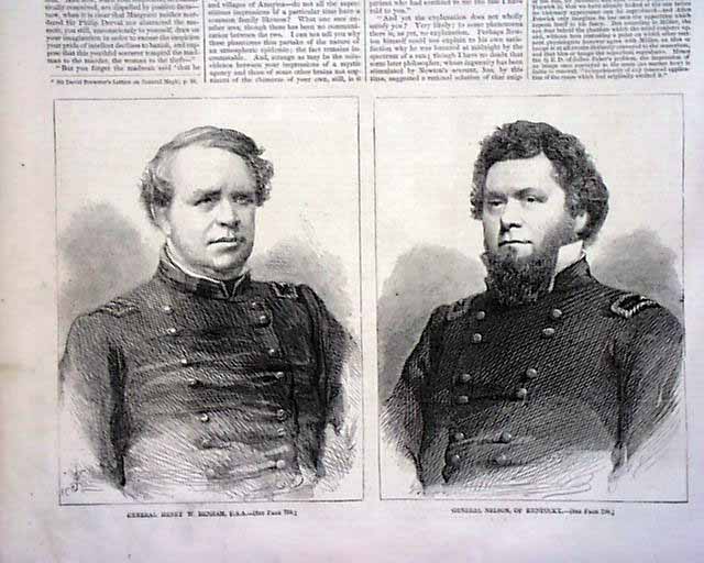
HARPER'S WEEKLY, New York, December 14, 1861 The entire front page is taken up with: "A Chart Map Of Georgia, Showing The Percentage of Slaves In Each County." Inside has a full page with seven: "Scenes in & Around Beaufort, South Carolina"; another page has 3 prints of: "The Stone Fleet on its Way to the Southern Coast"; a full page with 3 prints: "Fort Corcoran, Arlington Heights, Virginia" and "The Village of Lewinsville, Virginia..." and "Professor Lowe Making A Balloon Ascension on a Reconnoitring Expedition to Vienna". Also a nearly halfpg: "View of Urbanna, on the Rappahannock River, Virginia" and another: "The 32nd Indiana Regiment (Col. Willich) Building Pontoons in Kentucky"; a full page with four "Scenes at & Around the Island of Tybee, Georgia"; prints of "General Henry W. Benham" and "General Nelson of Kentucky".
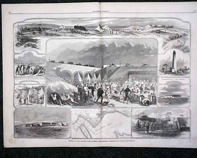
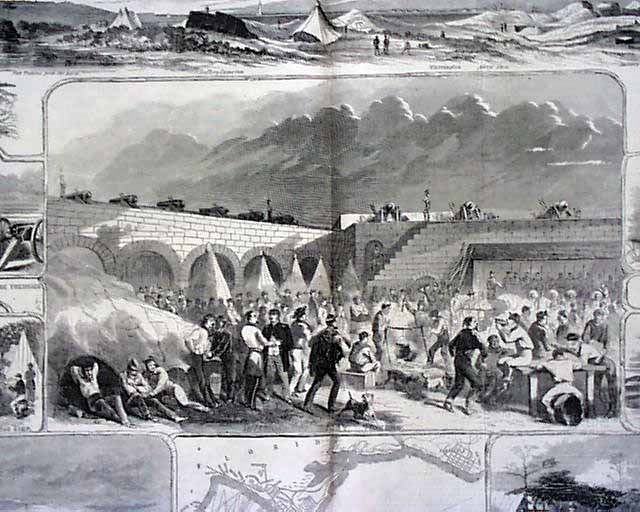
The very nice doublepage centerfold captioned: "Scenes At & Around Fort Pickens" includes nine scenes. Additional prints include: "General Henry W. Benham, U.S.A." "General Nelson of Kentucky" and a full pagte with four: "Scenes at & Around the Island of Tybee, Georgia".
The back page has two political cartoons: "The Dangerous Playmate--A Singular Instance of Fascination" and "A Short Blanket". Complete in 16 pages.
Category: The Civil War